Natur
Rienz
Die Rienz
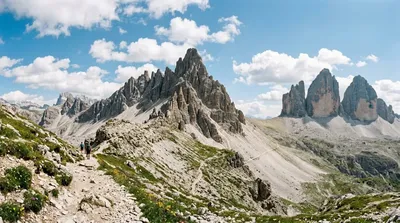
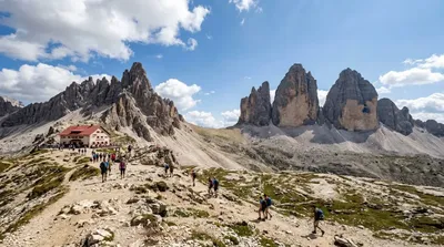
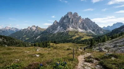
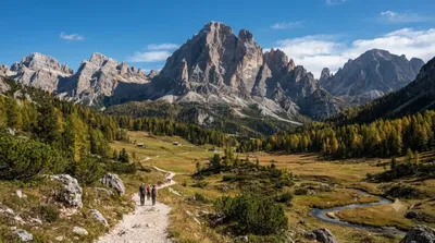
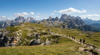
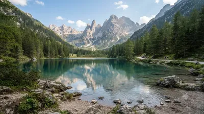
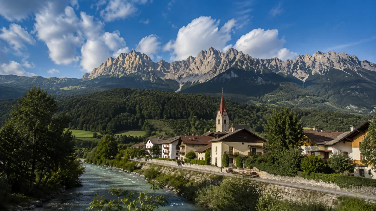
Die Rienz ist ein Fluss in den italienischen Dolomiten. Sie entspringt in einer Höhe von 2.180 Metern südlich von Toblach und fließt etwa 90 Kilometer durch das Pustertal, bis sie bei Brixen in den Eisack mündet. Reisende besuchen die Quelle und den Oberlauf des Flusses primär im Rahmen von Wanderungen in der Hochgebirgslandschaft der Dolomiten.
Anreise und Dauer
Die Quelle ist von Toblach aus über markierte Wanderwege erreichbar. Die Zeit für den Aufstieg hängt von der gewählten Route und der körperlichen Verfassung ab, dauert jedoch in der Regel mehrere Stunden. Vor Ort sollte man ausreichend Zeit für die Wanderung und die Erkundung der Umgebung einplanen, idealerweise einen vollständigen Tag.
Beste Reisezeit
Die Region ist in den Sommermonaten am zugänglichsten, da die Wege im Winter oft schneebedeckt sind. In der Hauptsaison kann es auf den populären Wanderwegen zu einem hohen Besucheraufkommen kommen. Frühvormittags ist es in der Regel ruhiger.
Kombinationsmöglichkeiten
Aufgrund der Lage im Hochgebirge lassen sich in der Umgebung weitere Gipfel und Aussichtspunkte besuchen:
- Paternkofel: ca. 1,3 km entfernt
- Tre Cime di Lavaredo: ca. 1,8 km entfernt
- Dreischusterspitze: ca. 4,5 km entfernt
- Zwölferkofel: ca. 4,9 km entfernt
Aktualisiert 20. September 2026 · Redaktion die World by City-Redaktion
 GetYourGuide
 Klook
Klook
 Tiqets
 KKday
KKday
 WeGoTrip
 Booking.com
 Hotels.com