Natur
Dreischusterspitze
Die Dreischusterspitze
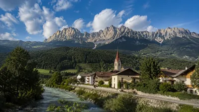
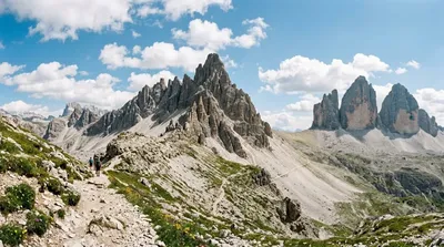
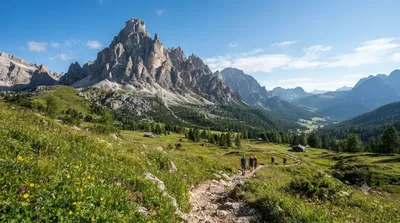
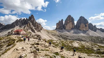
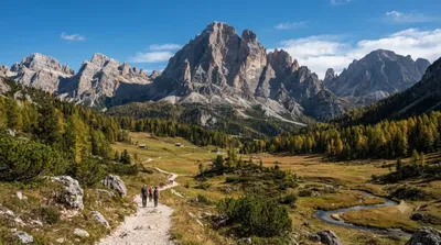
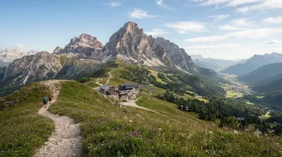
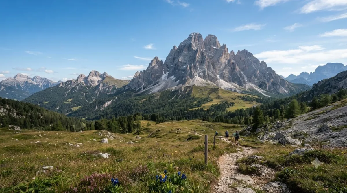
Die Dreischusterspitze ist ein Berg in Südtirol, Italien, und gehört zu den Sextner Dolomiten. Mit einer Höhe von über 3.000 Metern ist sie der höchste Gipfel dieser Gruppe sowie der nördlichste 3.000-Meter-Gipfel der gesamten Dolomiten. Reisende besuchen diesen Ort primär für alpine Wanderungen und Bergsteigertouren.
Anreise und Zeitaufwand
Die Erreichbarkeit erfolgt über die nächstgelegenen Orte im Sextner Tal. Da es sich um ein Hochgebirgsziel handelt, ist die Anreise vom Stadtzentrum der umliegenden Gemeinden per Auto oder lokalem Bus zu den entsprechenden Ausgangspunkten der Wanderwege notwendig. Die Zeit für den Aufstieg variiert je nach gewählter Route und körperlicher Verfassung erheblich.
Für die Besteigung und den Abstieg sollte man mindestens einen vollen Tag einplanen. Aufgrund der Höhe und des Geländes ist eine entsprechende Zeitreserve für Wetterumschwünge erforderlich.
Beste Reisezeit
Die Saison für Bergwanderungen erstreckt sich in der Regel von Frühsommer bis Herbst. Im Winter ist der Gipfel aufgrund von Schnee und Lawinengefahr nur für erfahrene Alpinisten zugänglich. In den Hauptferienmonaten Juli und August ist in der gesamten Region der Dolomiten mit einem hohen Besucheraufkommen zu rechnen.
Kombinationsmöglichkeiten
In der näheren Umgebung befinden sich weitere markante Gipfel und Sehenswürdigkeiten, die in eine Reiseplanung integriert werden können:
- Tre Cime di Lavaredo (ca. 6 km entfernt)
- Elferkofel (ca. 5,8 km entfernt)
- Paternkofel (ca. 4,6 km entfernt)
- Rienz (ca. 4,5 km entfernt)
Aktualisiert 20. September 2026 · Redaktion die World by City-Redaktion
 GetYourGuide
 Klook
Klook
 Tiqets
 KKday
KKday
 WeGoTrip
 Booking.com
 Hotels.com