Natur
Elferkofel
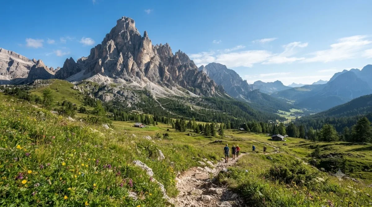
Elferkofel (Cima Undici)
Der Elferkofel ist ein Berggipfel in den Sextner Dolomiten in Südtirol, Italien. Zusammen mit dem benachbarten Zwölferkofel bildet er einen hellgrauen Felsgrat, der das Sextental von Süden her umschließt. Wanderer und Bergsteiger besuchen diesen Ort, um die charakteristischen Kalksteinformationen der Region zu erleben und die Aussicht auf die umliegenden Gipfel zu nutzen.
Anreise und Dauer
Die Anreise erfolgt in der Regel über die nahegelegenen Orte im Sextental. Da es sich um einen Berggipfel handelt, ist der letzte Strecke zu Fuß über markierte Wanderwege oder Klettersteige zu bewältigen. Die Zeit für den Aufstieg variiert je nach Startpunkt und körperlicher Verfassung, nimmt jedoch meist mehrere Stunden in Anspruch.
Für den Besuch und den Auf- und Abstieg sollte ein kompletter Tag eingeplant werden.
Beste Reisezeit
Die Saison für Wanderungen erstreckt sich über die Sommermonate, wenn die Wege schneefrei und passierbar sind. In den Wintermonaten ist der Zugang aufgrund von Schneefall stark eingeschränkt und nur für erfahrene Alpinisten mit entsprechender Ausrüstung geeignet. In der Hochsaison kann es auf den Hauptzubringern zu einem höheren Besucheraufkommen kommen.
Kombinationsmöglichkeiten
Aufgrund der Lage lassen sich weitere Ziele in der Sextner Dolomiten Gruppe in die Planung integrieren:
- Zwölferkofel: 2,4 km entfernt
- Paternkofel: 4,8 km entfernt
- Dreischusterspitze: 5,8 km entfernt
- Tre Cime di Lavaredo: 5,9 km entfernt
Aktualisiert 20. September 2026 · Redaktion die World by City-Redaktion
 GetYourGuide
 Klook
Klook
 Tiqets
 KKday
KKday
 WeGoTrip
 Booking.com
 Hotels.com