World by City

自然

Elferkofel

Elferkofel

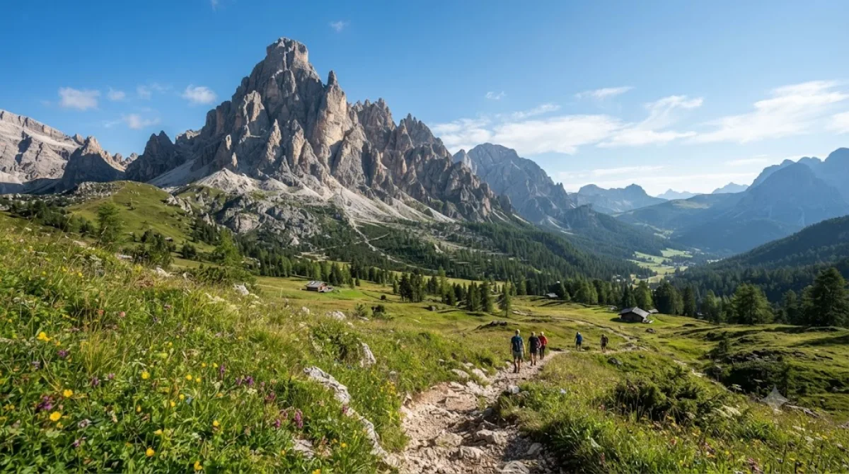
The Cima Undici - Elferkofel is a mountain in the Sexten Dolomites in South Tyrol, Italy.

Cima Undici – Elferkofel

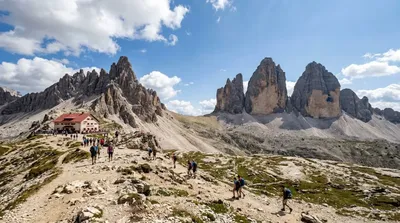
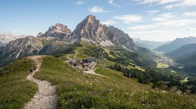
The Elferkofel (Cima Undici) is one of the peaks of the Sexten Dolomites, rising above the Sexten valley in South Tyrol. Its main draw is the view rather than the summit itself: the surrounding trails and huts look out over the jagged rock towers that make this corner of the Dolomites distinctive, and the mountain sits at the heart of a cluster of well-known peaks rather than standing in isolation.

Getting there

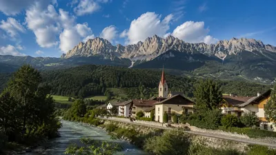
Access is from the town of Sexten (Sesto), from where marked trails and a chairlift lead up into the mountain group. Depending on which route or lift you take, reaching the higher vantage points and huts around the Elferkofel typically takes between one and two hours from the valley floor.

How much time to allow

Plan for at least half a day if you're hiking to a viewpoint or hut and back down; a full day allows time to link up with neighbouring trails without rushing.

When to go

The area is a hiking destination, so it's only realistically accessible in summer and early autumn once snow has cleared from the higher trails. Start early in the morning both to avoid afternoon thunderstorms, which are common in the Dolomites in summer, and because trailheads and lifts can get busy with day hikers later in the day.

Combine it with

  • Zwölferkofel (2.4km) – the closest neighbouring peak, often visible from the same trails.
  • Paternkofel (4.8km) – a further hiking objective in the same group.
  • Dreischusterspitze (5.8km) and Tre Cime di Lavaredo (5.9km) – the latter is one of the best-known hiking areas in the Dolomites and can be combined into a longer day if you're already exploring the Sexten Dolomites.

出典:ウィキペディア・OpenStreetMap の公開データ · 2026年8月5日 更新 · 編集 World by City 編集部

チケット・ツアー予約

入場料や営業時間は変わりやすいためここには載せていません。下で現在販売中のチケットと価格をご確認ください。事前購入で待ち時間を減らせる場所もあります。

検索結果にこの場所のチケットがない場合もあります。入場無料、または現地販売のみの施設もあります。

Elferkofel 周辺の宿

歩いて行ける距離から近い順に並べています。距離は直線距離です。

地図 © OpenStreetMap 寄稿者。直線でつないでいるため実際の経路とは異なります。

Elferkofel 周辺の宿

宿の位置と名称は OpenStreetMap のデータに基づきます。価格と空室は各予約サイトでご確認ください。

あわせて訪れたい場所

Zwölferkofel

自然

Zwölferkofel

The Zwölferkofel or Zwölfer is a peak of the Sexten Dolomites on the border between the provinces of South Tyrol and Belluno, in Italy.

ここから 2.4 km

モンテ・パテルノ

自然

モンテ・パテルノ

The Paterno is a mountain in the Dolomites on the border between South Tyrol and the Province of Belluno, Italy.

ここから 4.8 km

Dreischusterspitze

自然

Dreischusterspitze

The Dreischusterspitze is a mountain of the Dolomites in South Tyrol, Italy. It is the highest peak of the Sexten Dolomites and the most northerly 3,000m peak of the range. From the north it resembles a majestic pyramid, while from the east and west it resembles a jagged ridge. The mountain is located above the village of Sexten. It was first climbed in 1869 by Paul Grohmann, Franz Innerkofler and Peter Salcher.

ここから 5.8 km

チマ・オヴェスト

自然

チマ・オヴェスト

トレ・チーメ・ディ・ラヴァレード(Tre Cime di Lavaredo)は、イタリアのドロミーティにある標高2999 mの岩山群である。短縮してトレ・チーメ(「三つの峰」の意)とも呼ばれ、3 Cimeとも表記される。ドイツ語ではドライ・チンネン(Drei Zinnen)と呼ばれる。イタリア共和国のヴェネト州とトレンティーノ=アルト・アディジェ州の境に位置する。トレ・チーメ自然公園 の中核を成す。

ここから 5.9 km

リエンツァ川

自然

リエンツァ川

リエンツァ川 は、イタリアのアルト・アディジェを流れる全長約90kmの川である。

ここから 6.1 km

Helm

自然

Helm

The Helm is a mountain in the Puster Valley in South Tyrol, Italy.

ここから 8.8 km