Natur
Zwölferkofel
Zwölferkofel
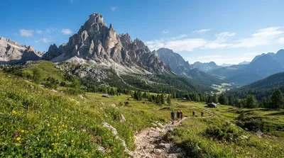
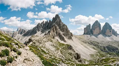
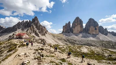
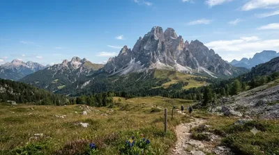
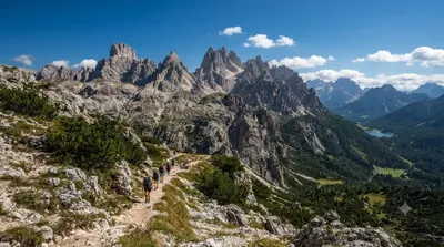
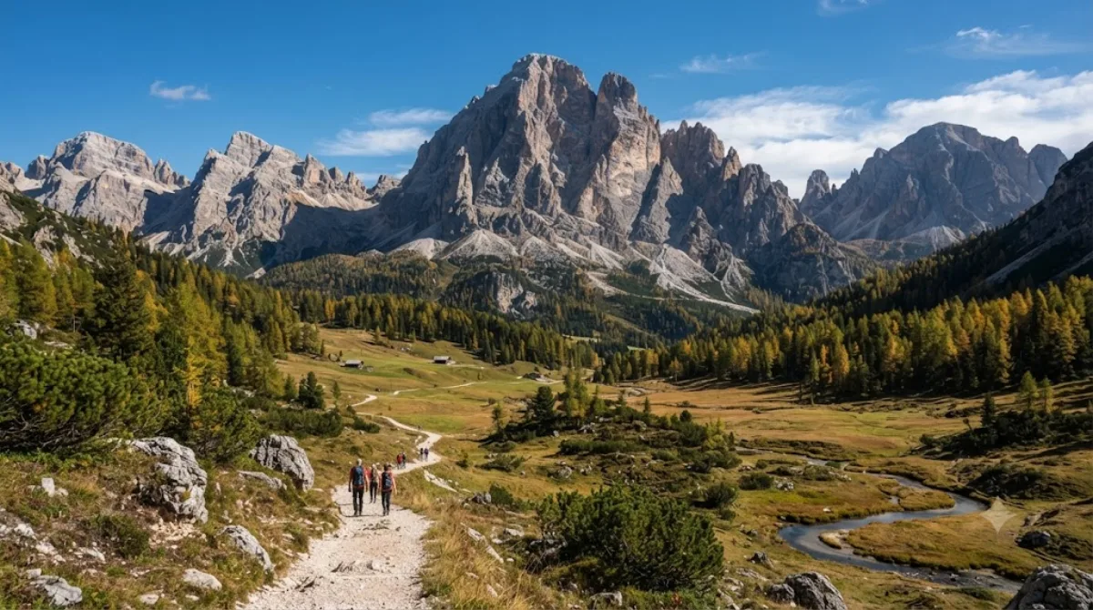
Der Zwölferkofel ist ein Berggipfel in den Sextner Dolomiten, der an der Grenze zwischen Südtirol und der Provinz Belluno liegt. Er ist durch seine steilen, hellgrauen Felswände charakterisiert. Besucher kommen hierher, um die charakteristische Dolomitenlandschaft zu erleben, die Klippen zu erklimmen oder auf den Wanderwegen unterhalb des Grates zu wandern.
Anreise und Zeitplanung
Die Anreise erfolgt in der Regel über die umliegenden Orte der Sextner Dolomiten. Da es sich um ein Bergmassiv handelt, ist die letzte Etappe zu Fuß über markierte Wanderwege zu bewältigen. Je nach Startpunkt und körperlicher Verfassung sollte für den Aufstieg und Abstieg ein ganzer Tag eingeplant werden.
Beste Reisezeit
Die Wanderwege sind primär in den Sommermonaten zugänglich, wenn der Schnee geschmolzen ist. In der Hochsaison kann es auf den Hauptpfaden zu einem erhöhten Besucheraufkommen kommen. Es wird empfohlen, die Wanderung früh am Tag zu beginnen, um wetterbedingten Änderungen am Nachmittag auszuweichen.
Kombinationsmöglichkeiten
Aufgrund der Lage lassen sich weitere Ziele in der Region mit dem Besuch verbinden:
- Elferkofel: 2,4 km entfernt
- Paternkofel: 3,6 km entfernt
- Tre Cime di Lavaredo: 4,1 km entfernt
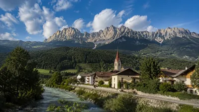
- Rienz: 4,9 km entfernt
Aktualisiert 20. September 2026 · Redaktion die World by City-Redaktion
 GetYourGuide
 Klook
Klook
 Tiqets
 KKday
KKday
 WeGoTrip
 Booking.com
 Hotels.com