World by City

Nature

Zwölferkofel

Zwölferkofel

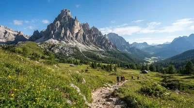
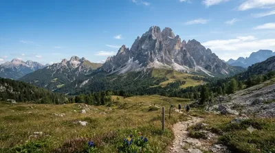
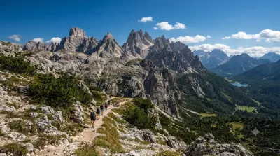
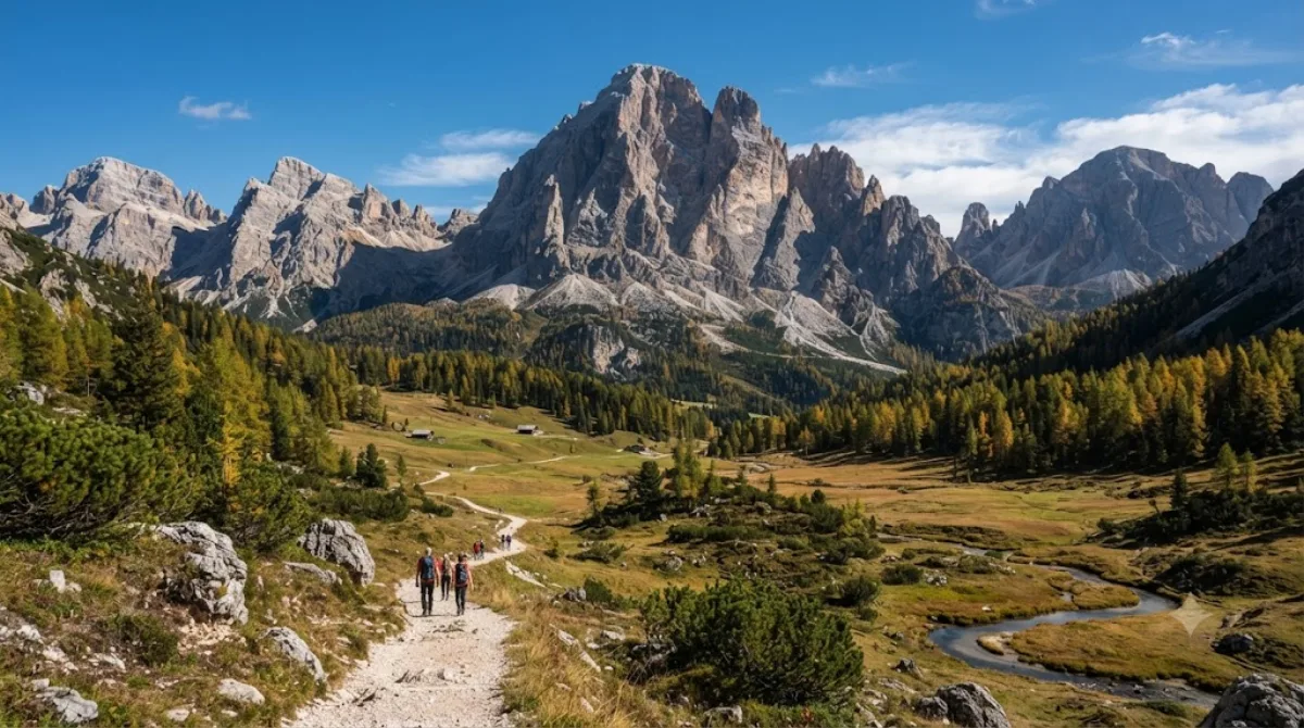
The Zwölferkofel or Zwölfer is a peak of the Sexten Dolomites on the border between the provinces of South Tyrol and Belluno, in Italy.

What it is

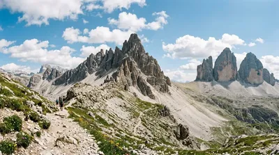
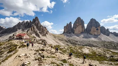
The Zwölferkofel is a peak in the Sexten Dolomites, straddling the border between South Tyrol and Belluno. Its rock face, part of the same limestone system as the nearby Tre Cime, is the main draw for hikers and photographers working through this corner of the Dolomites rather than a stand-alone sight in its own right.

Getting there

There is no direct road access to the peak itself; visitors reach it on foot via marked trails from the Sexten Dolomites trailheads, typically starting from parking areas or refuges reached by local road from Sesto/Sexten or Misurina. Depending on the starting point, the approach on foot can take anywhere from under an hour to half a day, so check the specific trailhead and route before setting out.

Time to allow

Allow at least half a day for a there-and-back walk to a good viewpoint beneath the peak, and a full day if combining it with neighbouring summits or a longer loop through the Sexten Dolomites Nature Park.

When to go

This is high-altitude terrain, so the walking season runs roughly from late spring to early autumn, with snow possible outside those months. Go early in the day for clearer light and cooler conditions; trails in this area, especially those shared with the Tre Cime circuit, get busy in July and August.

Combining with nearby sights

  • Elferkofel (2.4km) – a neighbouring peak that can be paired with a Zwölferkofel walk in the same outing.
  • Paternkofel (3.6km) – another Sexten Dolomites summit within reach on foot.
  • Tre Cime di Lavaredo (4.1km) – the well-known three peaks, often combined as part of a longer day in the same range.
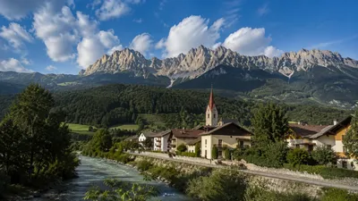
  • Rienz (4.9km) – the river valley below, useful as a lower-altitude stop or return route.

Sources: open data from Wikipedia and OpenStreetMap · Updated August 5, 2026 · Edited by the World by City editors

Tickets & tours

Admission prices and opening hours change often, so we don't list them here. Check what's on sale and at what price below — booking ahead can cut the queue at some places.

This place may not appear in the results — some sites are free to enter or sell tickets only at the gate.

Stays near Zwölferkofel

Sorted by distance, walkable ones first. Distances are straight-line.

Map © OpenStreetMap contributors. Lines are straight connections, not actual routes.

Zwölferkofel Nearby stays

Locations and names come from OpenStreetMap. Check prices and availability on the booking sites.

Itineraries including this place

Good to visit alongside

Elferkofel

Nature

Elferkofel

The Cima Undici - Elferkofel is a mountain in the Sexten Dolomites in South Tyrol, Italy.

2.4 km away

Paternkofel

Nature

Paternkofel

The Paterno is a mountain in the Dolomites on the border between South Tyrol and the Province of Belluno, Italy.

3.6 km away

Tre Cime di Lavaredo

Nature

Tre Cime di Lavaredo

The Tre Cime di Lavaredo, also called the Drei Zinnen, are three distinctive battlement-like peaks, in the Sexten Dolomites of northeastern Italy. They are one of the best-known mountain groups in the Alps. The three peaks, from east to west, are:Cima Piccola / Kleine Zinne Cima Grande / Große Zinne Cima Ovest / Westliche Zinne.

4.1 km away

Rienz

Nature

Rienz

The Rienz is a river in South Tyrol, Italy. Its source is located at 2,180 m of altitude, in the Dolomites mountains, south of Toblach: near Toblach it enters in the Puster Valley, and, after 90 km (56 mi), it meets the Eisack river in the city of Brixen, at 550 m of altitude.

4.9 km away

Dreischusterspitze

Nature

Dreischusterspitze

The Dreischusterspitze is a mountain of the Dolomites in South Tyrol, Italy. It is the highest peak of the Sexten Dolomites and the most northerly 3,000m peak of the range. From the north it resembles a majestic pyramid, while from the east and west it resembles a jagged ridge. The mountain is located above the village of Sexten. It was first climbed in 1869 by Paul Grohmann, Franz Innerkofler and Peter Salcher.

6.5 km away

Cadini group

Nature

Cadini group

Cadini di Misurina is a group of mountains in the eastern Dolomites in the Province of Belluno, Italy. These mountains rise to the west of Auronzo di Cadore, north-east of Cortina d'Ampezzo and south of Dobbiaco, in a position overlooking Lake Misurina. They are part of the Dolomites subsection of Sesto, of Braies, and Ampezzo, and belong to the municipality of Auronzo di Cadore. The highest peak is the Cima Cadin of San Lucano.

7.1 km away