Nature
Cadini group
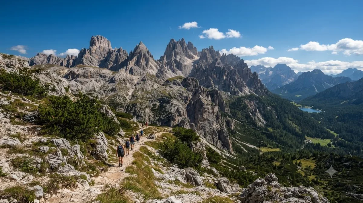
Cadini di Misurina
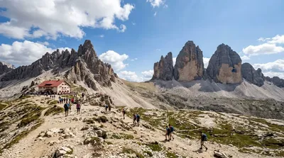
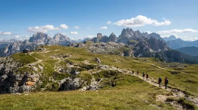
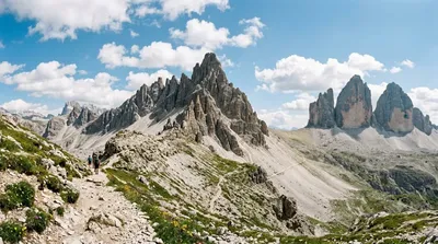
The Cadini di Misurina is a cluster of steep, needle-like limestone peaks in the eastern Dolomites, near Lake Misurina. Unlike the flatter faces of Tre Cime nearby, the Cadini group is defined by a jagged, saw-tooth skyline, and the classic view of them — a row of sharp spires seen from above at Rifugio Fonda Savio or the surrounding ridge trails — is one of the more photographed panoramas in this part of the Dolomites. The highest point is Cima Cadin di San Lucano.
Getting there
There's no town center at Cadini di Misurina itself; the usual starting point is Lake Misurina or the Rifugio Auronzo car park on the Tre Cime toll road, both reached by car in under an hour from Cortina d'Ampezzo or Auronzo di Cadore. From either trailhead, reaching a viewpoint over the Cadini spires involves a hike of roughly 1.5 to 2.5 hours on foot, depending on the route chosen.
Time to allow
Plan for at least half a day once you factor in the approach hike, time at the viewpoint, and the return. A full day allows for a more relaxed pace or a loop that takes in Rifugio Fonda Savio.
When to go
The trails are typically walkable only in summer and early autumn, as snow lingers into late spring at this altitude. Go early in the morning for clearer light and to get ahead of the crowds that build up around the nearby Tre Cime area, which shares trailheads and parking with the Cadini group during peak season.
Nearby
- Lake Misurina (2.6km) — the closest base, with lake views and easy access to trailheads.
- Tre Cime di Lavaredo (4.6km) — the region's best-known peaks, often combined with a Cadini viewpoint in one outing.
- Monte Piana (5.4km) — a broader plateau with panoramic views, reachable from the same general area.
- Paternkofel (6.1km) — another peak worth a look if extending the day further.
Updated September 20, 2026 · Edited by the World by City editors
 GetYourGuide
 Klook
Klook
 Tiqets
 KKday
KKday
 WeGoTrip
 Booking.com
 Hotels.com