World by City

自然

Cadini group

Cadini group

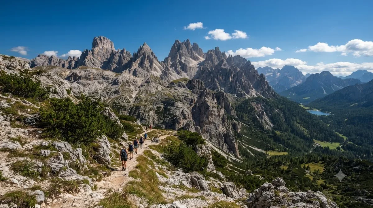
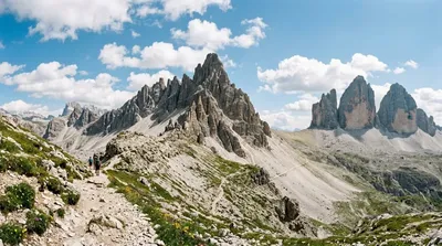
Cadini di Misurina is a group of mountains in the eastern Dolomites in the Province of Belluno, Italy. These mountains rise to the west of Auronzo di Cadore, north-east of Cortina d'Ampezzo and south of Dobbiaco, in a position overlooking Lake Misurina. They are part of the Dolomites subsection of Sesto, of Braies, and Ampezzo, and belong to the municipality of Auronzo di Cadore. The highest peak is the Cima Cadin of San Lucano.

Cadini di Misurina

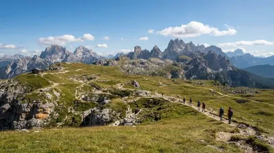
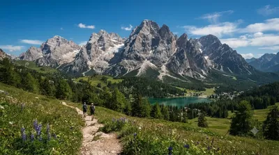
The Cadini di Misurina is a cluster of steep, needle-like limestone peaks in the eastern Dolomites, near Lake Misurina. Unlike the flatter faces of Tre Cime nearby, the Cadini group is defined by a jagged, saw-tooth skyline, and the classic view of them — a row of sharp spires seen from above at Rifugio Fonda Savio or the surrounding ridge trails — is one of the more photographed panoramas in this part of the Dolomites. The highest point is Cima Cadin di San Lucano.

Getting there

There's no town center at Cadini di Misurina itself; the usual starting point is Lake Misurina or the Rifugio Auronzo car park on the Tre Cime toll road, both reached by car in under an hour from Cortina d'Ampezzo or Auronzo di Cadore. From either trailhead, reaching a viewpoint over the Cadini spires involves a hike of roughly 1.5 to 2.5 hours on foot, depending on the route chosen.

Time to allow

Plan for at least half a day once you factor in the approach hike, time at the viewpoint, and the return. A full day allows for a more relaxed pace or a loop that takes in Rifugio Fonda Savio.

When to go

The trails are typically walkable only in summer and early autumn, as snow lingers into late spring at this altitude. Go early in the morning for clearer light and to get ahead of the crowds that build up around the nearby Tre Cime area, which shares trailheads and parking with the Cadini group during peak season.

Nearby

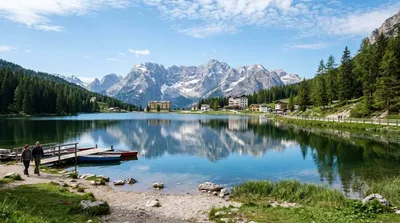
  • Lake Misurina (2.6km) — the closest base, with lake views and easy access to trailheads.
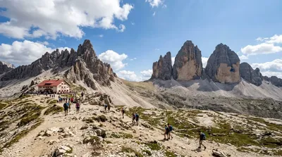
  • Tre Cime di Lavaredo (4.6km) — the region's best-known peaks, often combined with a Cadini viewpoint in one outing.
  • Monte Piana (5.4km) — a broader plateau with panoramic views, reachable from the same general area.
  • Paternkofel (6.1km) — another peak worth a look if extending the day further.

出典:ウィキペディア・OpenStreetMap の公開データ · 2026年8月5日 更新 · 編集 World by City 編集部

チケット・ツアー予約

入場料や営業時間は変わりやすいためここには載せていません。下で現在販売中のチケットと価格をご確認ください。事前購入で待ち時間を減らせる場所もあります。

検索結果にこの場所のチケットがない場合もあります。入場無料、または現地販売のみの施設もあります。

Cadini group 周辺の宿

歩いて行ける距離から近い順に並べています。距離は直線距離です。

地図 © OpenStreetMap 寄稿者。直線でつないでいるため実際の経路とは異なります。

Cadini group 周辺の宿

宿の位置と名称は OpenStreetMap のデータに基づきます。価格と空室は各予約サイトでご確認ください。

この場所を含む日程

あわせて訪れたい場所