
3泊4日
ドロミーティ 3泊4日モデルコース
ドロミーティの主要観光スポットを1日の移動距離をもとに最適にまとめた4日間のモデルコースです。
移動距離は直線距離のため、実際の所要時間とは異なります。順番はお好みで入れ替えてください。 · 2026年8月15日 更新
全ルートをひと目で
地図・場所データ © OpenStreetMap コントリビューター 直線でつないでいるため実際の経路とは異なります。
DAY 1
チマ・オヴェスト 中心 · 自然
Googleマップで経路-
午前チマ・オヴェスト
自然
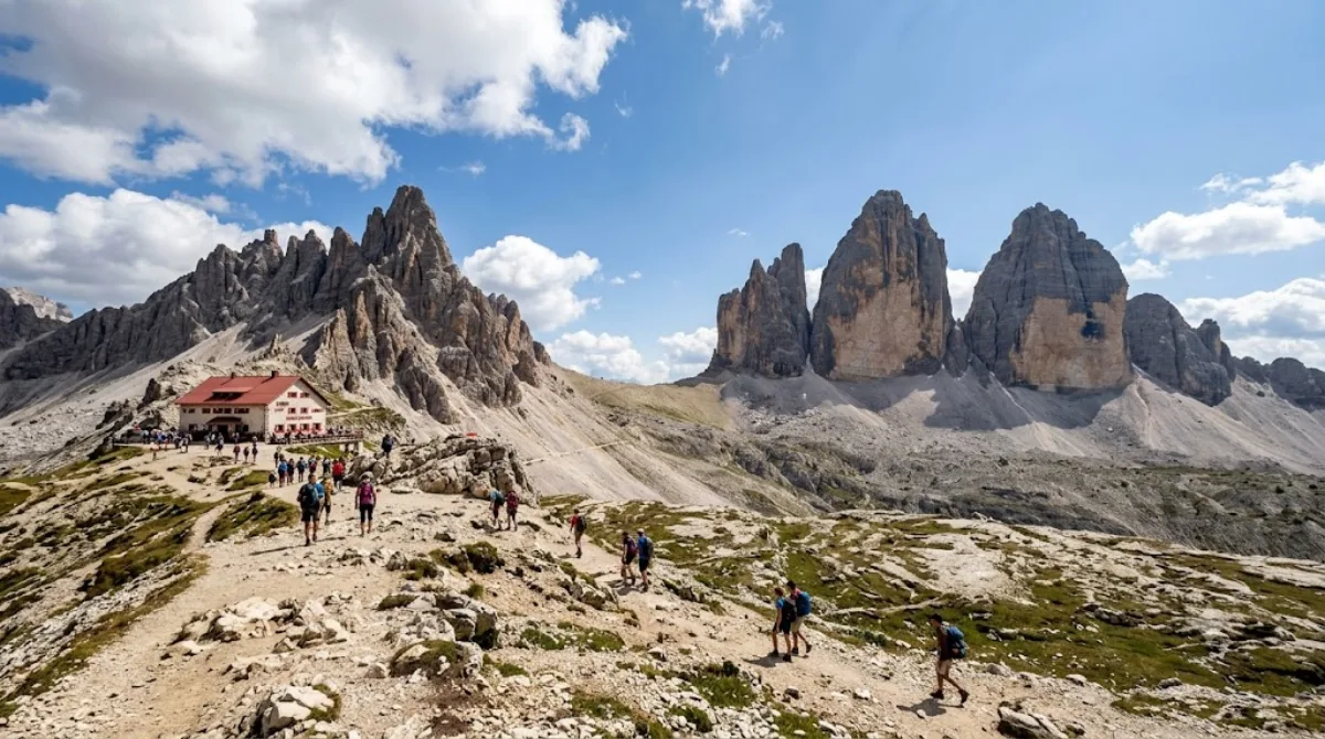
トレ・チーメ・ディ・ラヴァレード(ドイツ語名ドライ・ツィンネン)は、イタリア北東部のセスト・ドロミティにそびえる3つの尖峰です。西から東へチマ・オヴェスト、チマ・グランデ、チマ・ピッコラの順に並び、城壁のようにそびえる独特の姿からドロミティを代表する山群の一つとされています。
-
昼食後モンテ・パテルノ
自然 · 前の場所から 1.5 km
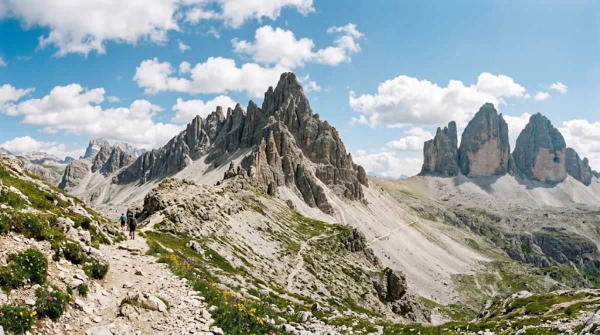
パテルノコーフェルは、イタリア・ドロミテの南チロルとベッルーノ県の境に位置する山です。トレ・チーメ・ディ・ラヴァレードの近くにそびえる峰で、特定の遺跡や施設ではなく、山そのものと周囲の稜線の景観を歩いたり眺めたりするために訪れる場所です。ドロミテ特有の岩壁と草原が織りなす風景を楽しめます。
-
午後ツヴェルフェルコフェル
自然 · 前の場所から 3.6 km
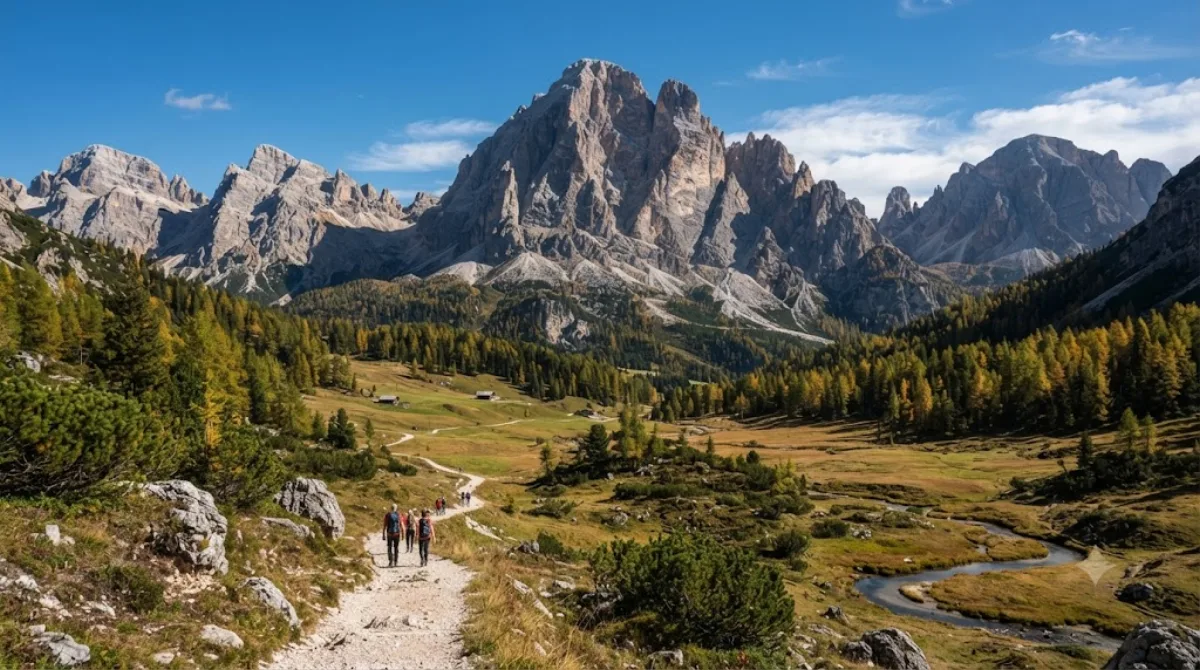
ツヴェルファーコフェル(十二時峰)は、イタリアの南チロルとベッルーノ県の境界にまたがるゼクステン・ドロミテ(セスト・ドロミテ)の山です。灰白色の岩壁が急峻にそびえる典型的なドロミテの地形で、登攀や縦走をする人だけでなく、稜線下の登山道を歩いて山を間近に眺めたい旅行者も訪れます。
-
夕方カディーニ山群
自然 · 前の場所から 7.1 km
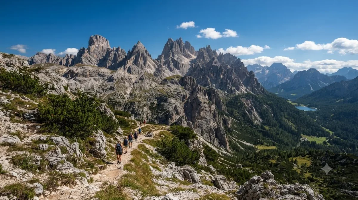
カディーニ・グループは、イタリア・ベッルーノ県、ドロミテ東部にそびえる鋭い岩峰群です。コルティナ・ダンペッツォの北東、ドッビアーコの南、アウロンツォ・ディ・カドーレの西に位置し、ミズリーナ湖を見下ろす場所にあります。セスト・ブライエス・アンペッツォ・ドロミテ地域に属し、行政上はアウロンツォ・ディ・カドーレ自治体に含まれます。最高峰はチマ・カディンです。
DAY 2
ドラーヴァ川 中心 · 自然
Googleマップで経路-
午前ドラーヴァ川
自然
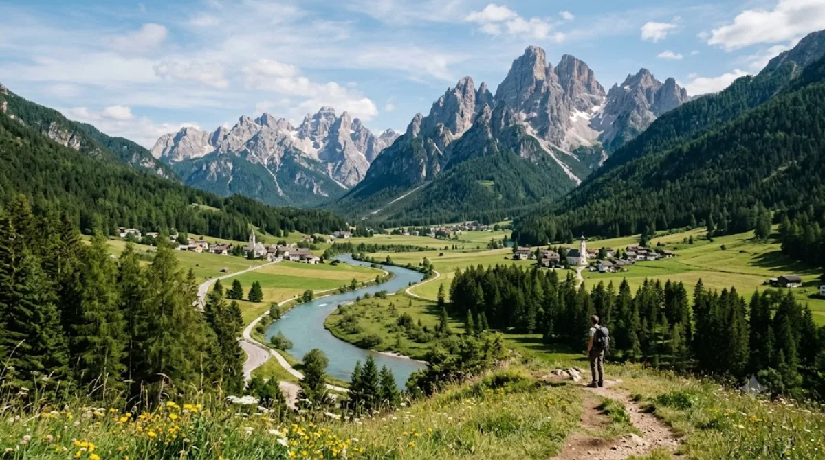
ドラーヴァ川はドロミテ地域を流れる川で、この区間はイタリア南チロルのインニヒェン近郊、プステリア渓谷に源を発し東へ流れる、その最上流部にあたります。ここで目にするのは大きな滝や渓谷といった劇的な景観ではなく、山あいの谷を縫うように流れる澄んだ穏やかな流れと、その周りに広がる草地や森です。
-
午後ヘルム山
自然 · 前の場所から 10.3 km
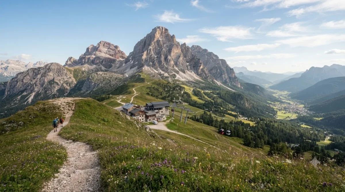
ヘルムは、イタリア南チロルのプステリア渓谷(プスター谷)にある山です。アルプスらしい険しい峰ではなく、なだらかな稜線と草地が特徴で、歩くことや周囲の眺めを楽しみたい旅行者に親しまれています。特別なランドマークや施設よりも、谷や周囲の山々を見渡せる地形そのものが訪れる理由です。
-
夕方ブラーエス湖
自然 · 前の場所から 23.2 km
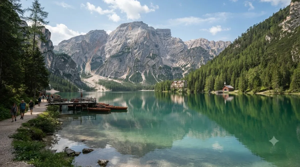
プラーガー・ヴィルトゼー(ラーゴ・ディ・ブライエス)は、イタリア南チロル、ドロミーティのプラーグス谷にある自然湖です。深いターコイズブルーの水面の奥にクロダ・ロッサ山群の岩壁がそびえる景観で知られ、湖畔には一周できる遊歩道があり、大きな体力を使わずに湖全体を巡ることができます。伝統的な木造ボートを借りて、湖上から周囲の山々を眺めることもできます。
DAY 3
モンテ・チヴェッタ 中心 · 自然
Googleマップで経路-
午前モンテ・チヴェッタ
自然
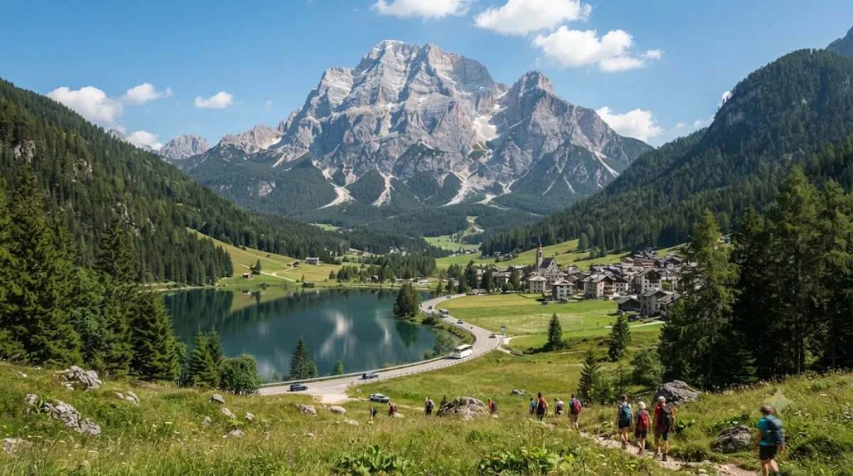
モンテ・チヴェッタは、イタリア・ベッルーノ県にあるドロミーティを代表する主要峰の一つで、ドロミーティのシンボルとされる山です。特にタイボン・アゴルディーノ側の谷から望む北西壁が有名で、ほぼ垂直にそびえる巨大な岩壁が谷全体を圧倒する景観をつくり出しています。
-
昼食後モンテ・ペルモ
自然 · 前の場所から 7.6 km
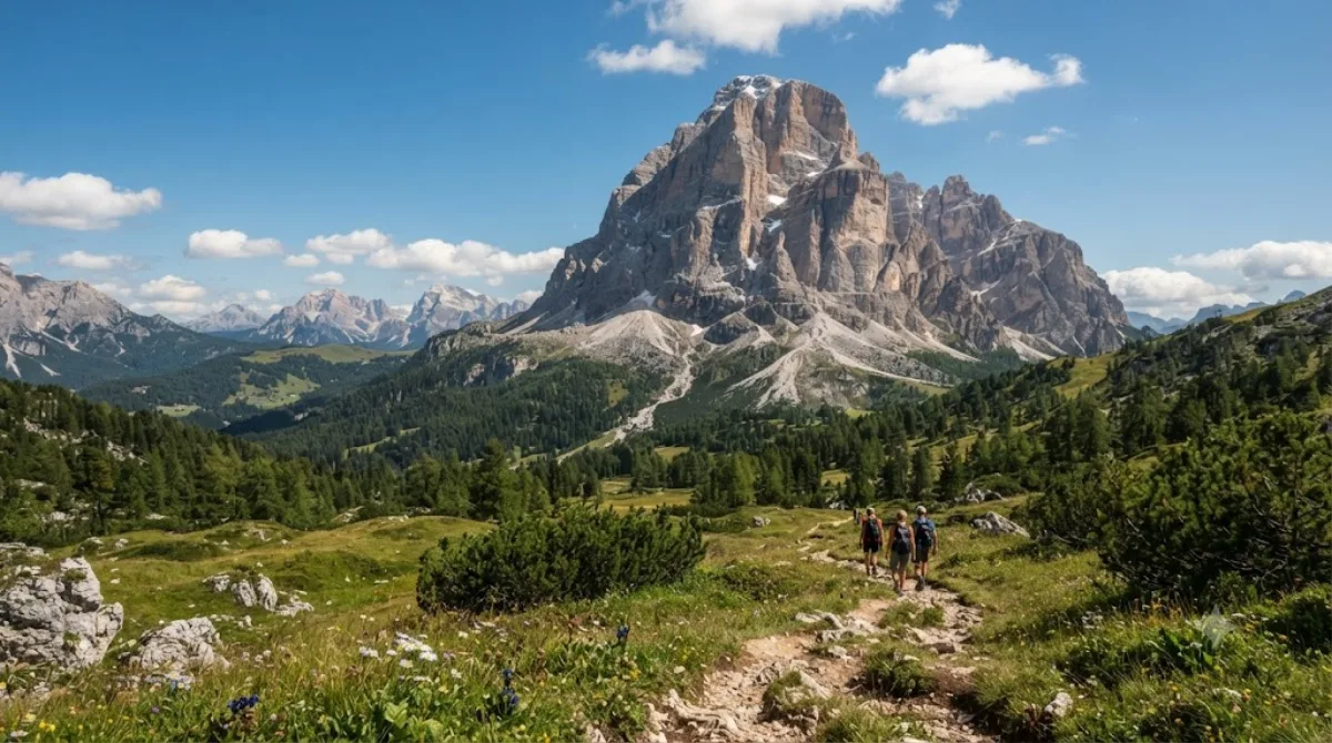
モンテ・ペルモはイタリア・ベッルーノ県に位置するドロミティ山群の山です。周囲の稜線からやや独立してそびえる形のため、どの方向からもはっきりとしたシルエットが確認できるのが特徴で、登頂よりも麓のトレイルを歩きながらその存在感を間近に感じようとする旅行者が多く訪れます。
-
午後ジアウ峠
自然 · 前の場所から 9.5 km
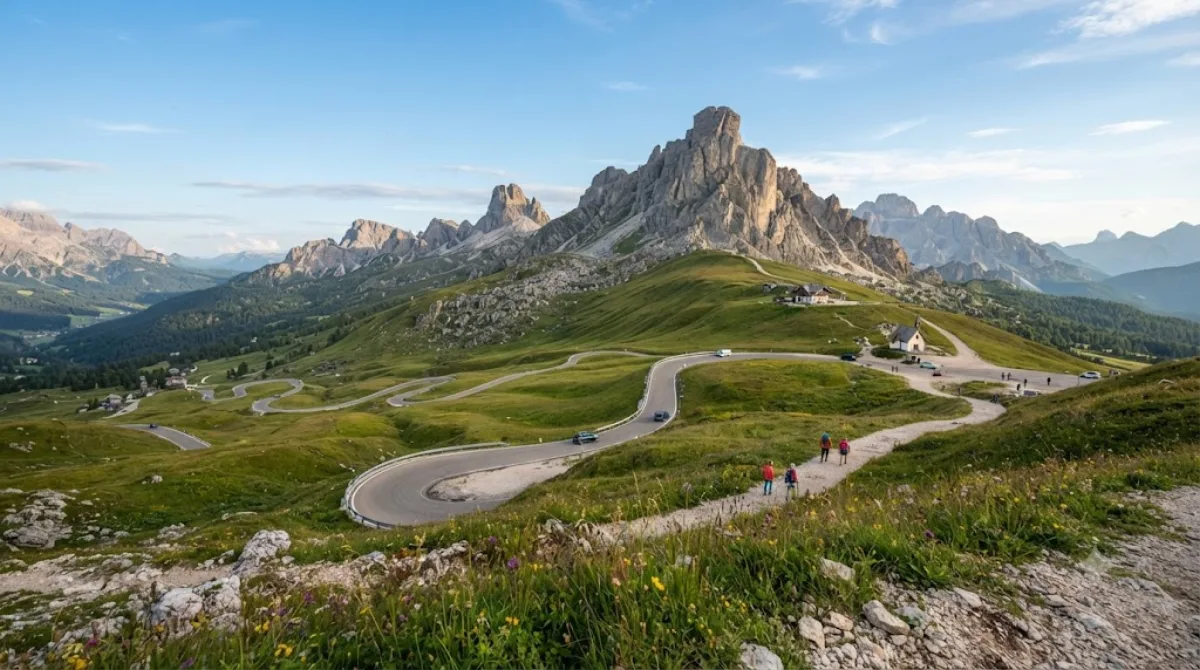
ジャウ峠(パッソ・ジャウ)は、イタリア・ベッルーノ県、ドロミテ山群にある標高2,236mの峠道で、コルティナ・ダンペッツォとコッレ・サンタルチア、セルヴァ・ディ・カドーレを結んでいます。なだらかな緑の牧草地の向こうに尖った石灰岩の峰々がそびえ、車で通り抜けるだけでもドロミテならではの地形を間近に眺めることができます。
-
夕方コル・ディ・ラーナ
自然 · 前の場所から 6.3 km
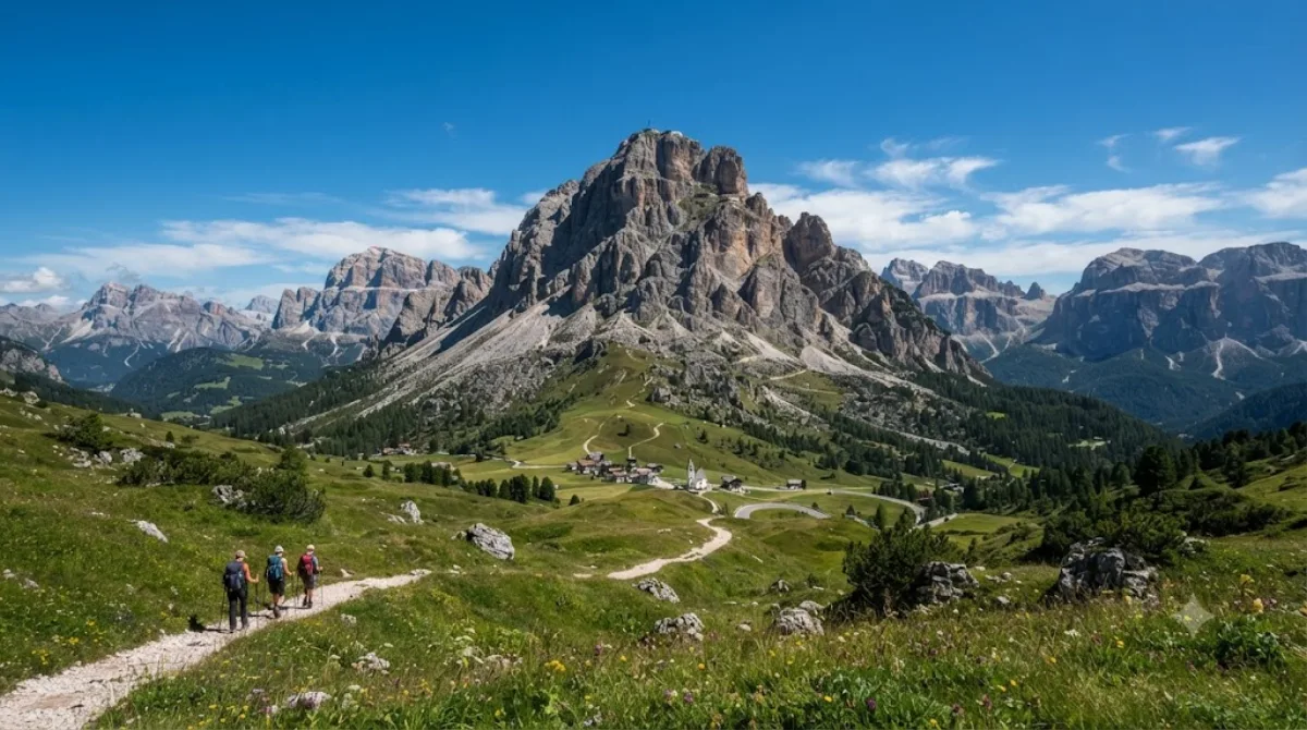
コル・ディ・ラーナは、イタリア・ドロミテのファネス山群に属する山で、実際の山頂はチマ・ラーナと呼ばれ、ベッルーノ県リヴィナッロンゴ・デル・コル・ディ・ラーナ自治体に位置しています。ロープウェイや観光施設で知られる山というよりも、徒歩で山頂に登りファネス山群や周辺のドロミテの峰々を一望できる山であり、登山やトレッキング目的で訪れる場所です。
DAY 4
アンテラオ山 中心 · 自然
Googleマップで経路-
午前アンテラオ山
自然
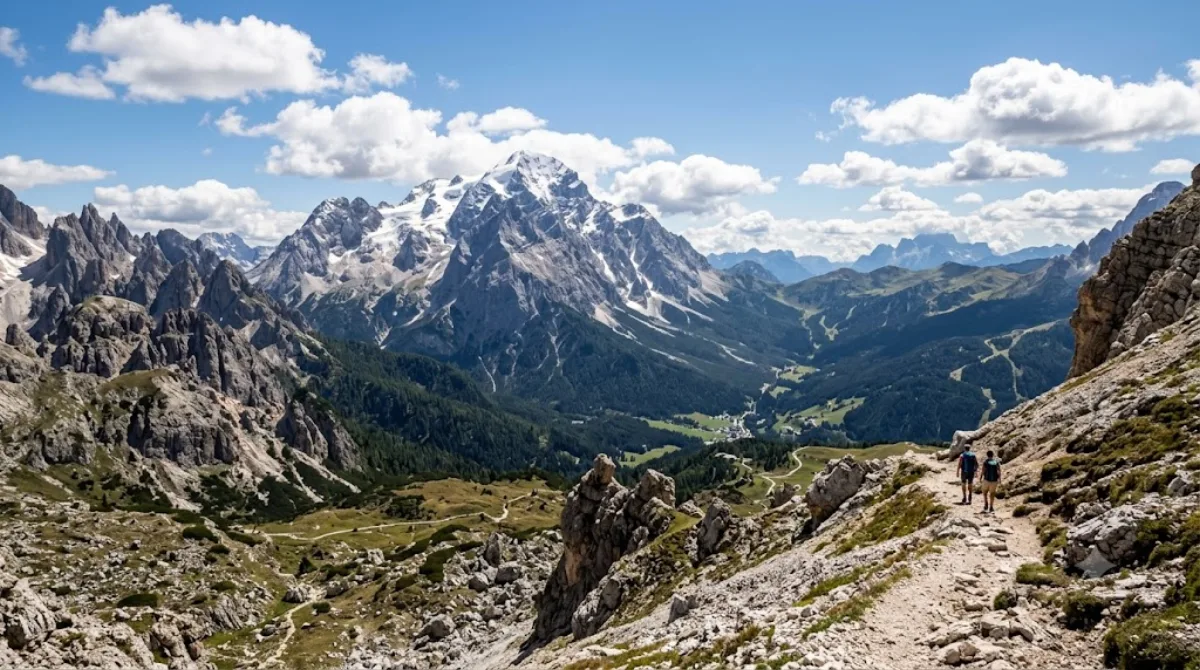
アンテラオは、イタリア北東部ドロミテ東部地域で最も高い山で、コルティナ・ダンペッツォの南東、カドーレ地方にそびえています。周囲の峰々の中でも独立してそびえ立つ姿が目を引き、登山や高山トレッキングを目的に訪れる旅行者が多くいます。頂上まで登らなくても、山麓のトレイルを歩けば、ドロミテ特有の石灰岩の断崖や尖峰の地形を間近に見ることができます。
-
午後モンテ・クリスタッロ
自然 · 前の場所から 14.4 km
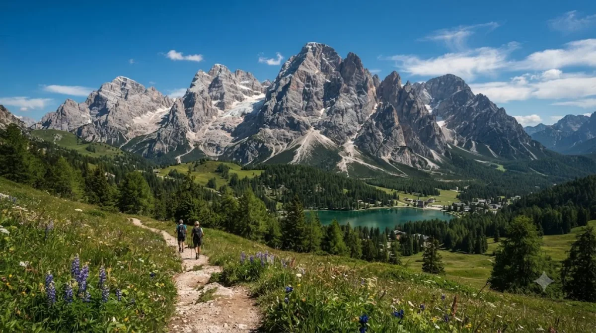
モンテ・クリスタッロは、コルティナ・ダンペッツォの北東に位置するドロミテ山群で、切り立った岩稜とロープウェイでアクセスできる展望ポイントがあることから、ハイキングやビア・フェラータ(岩壁登山ルート)を楽しむ人々に人気です。ロープウェイやリフトで山頂稜線まで上がれば、歩かなくてもドロミテ特有の灰白色の岩峰と渓谷の景色を間近に眺めることができます。
-
夕方ミズリーナ湖
自然 · 前の場所から 4.2 km
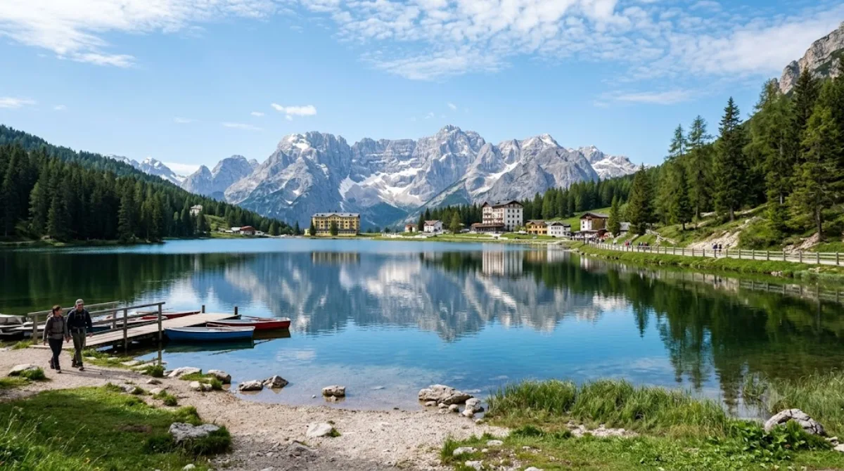
ミズリーナ湖はカドーレ地方最大の天然湖で、標高1,754メートルに位置しています。周囲2.6キロメートルは気軽に一周でき、湖の向こうにカディーニ山群とソラピス山群が連なる眺めは写真スポットとしても人気です。水深は最大5メートルと浅く、水面は澄んで穏やかに見えます。
この日程ならどこに泊まる?
初日の動線の中心である チマ・オヴェスト の周辺です。ここに泊まると初日の移動が最も短くなります。
-
Hotel Sorapiss 3つ星
5.8 km
-
Hotel Lavaredo 3つ星
5.9 km
-
Hotel Dolomitenhof 4つ星
6.4 km · Sexten - Sesto
-
Albergo Ristorante al Mughetto 2つ星
8.5 km
-
Family Resort Rainer 4つ星
8.9 km
-
Albergo Ristorante Cacciatori 3つ星
8.9 km
 Booking.com
 Hotels.com
価格と空室は各予約サイトでご確認ください。
ドロミーティ の宿をもっと見る →ドロミーティ への航空券をまず確認
出発空港と日付を選ぶと、ヴェネツィア・マルコ・ポーロ空港(VCE) 路線の検索結果に直接つながります。
運賃と空席は航空券検索サイトでご確認ください。
この旅程のツアー・チケット予約
人気スポットは当日売り切れが多いです。日程が決まったら、チケットやツアーを事前に確保しておきましょう。
 GetYourGuide
 Klook
Klook
 Tiqets
 KKday
KKday
 WeGoTrip