
3 nights, 4 days
Dolomites 4-Day Itinerary (3 Nights)
A 4-day route through Dolomites grouped by daily travel distance for optimal sightseeing.
Distances are straight-line, so actual transit times will differ. Feel free to reorder the stops. · Updated August 15, 2026
The whole route at a glance
Map and place data © OpenStreetMap contributors Lines are straight connections, not actual routes.
DAY 1
Around Tre Cime di Lavaredo · Nature
Directions in Google Maps-
MorningTre Cime di Lavaredo
Nature
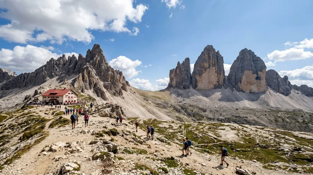
Tre Cime di Lavaredo (German: Drei Zinnen) are three jagged peaks rising in the Sesto Dolomites of northeastern Italy. From west to east stand Cima Ovest, Cima Grande, and Cima Piccola, and their striking wall-like formation makes them one of the signature mountain groups of the Dolomites.
-
After lunchPaternkofel
Nature · 1.5 km from the previous stop
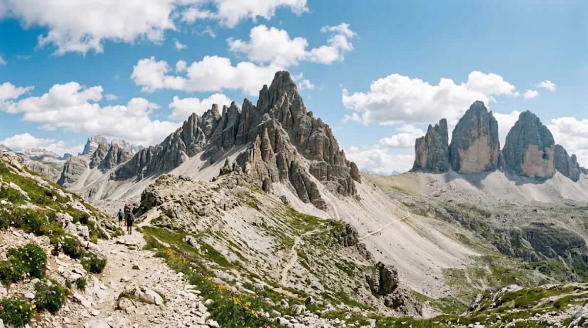
Paternkofel is a mountain in the Italian Dolomites, on the border between South Tyrol and the province of Belluno. Located near the Tre Cime di Lavaredo, it's visited not for any specific ruin or facility but for the mountain itself and the surrounding ridge scenery, offering landscapes where the Dolomites' characteristic rock walls and meadows meet.
-
AfternoonZwölferkofel
Nature · 3.6 km from the previous stop
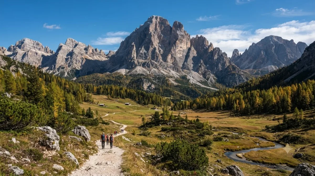
Zwölferkofel is a peak in the Sexten Dolomites, straddling the border between South Tyrol and the province of Belluno in Italy. Its steep, pale gray rock faces are classic Dolomite scenery, drawing climbers and traverse hikers as well as travelers who simply walk the trails below the ridge for a close-up view.
-
EveningCadini group
Nature · 7.1 km from the previous stop
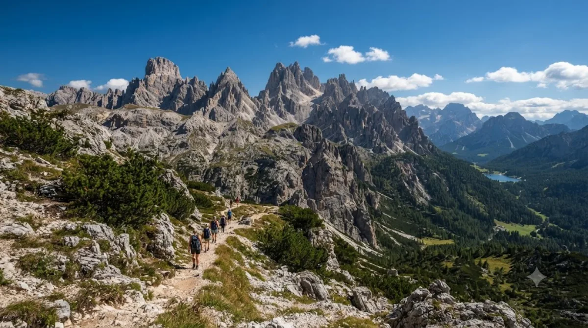
The Cadini group is a cluster of sharp rock spires rising in the eastern Dolomites, in Italy's Belluno province. It lies northeast of Cortina d'Ampezzo, south of Dobbiaco, and west of Auronzo di Cadore, overlooking Lake Misurina. The group belongs to the Sesto–Braies–Ampezzo Dolomites and administratively falls within the municipality of Auronzo di Cadore; its highest peak is Cima Cadin.
DAY 2
Around Drava · Nature
Directions in Google Maps-
MorningDrava
Nature
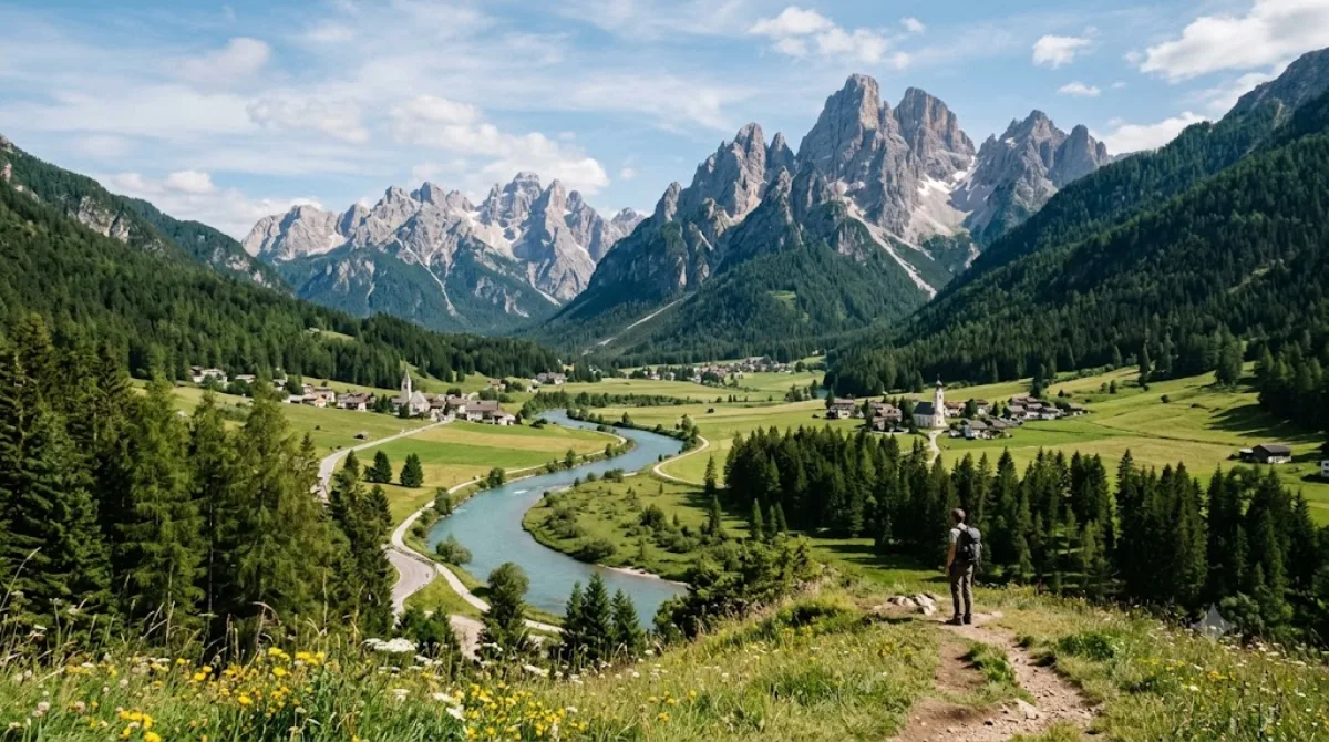
The Drava is a river flowing through the Dolomites, and this stretch marks its uppermost reach, rising in the Val Pusteria near Innichen in South Tyrol, Italy, and flowing eastward. Rather than dramatic waterfalls or gorges, what you'll find here is a clear, gently flowing stream winding through a mountain valley, bordered by meadows and forest.
-
AfternoonHelm
Nature · 10.3 km from the previous stop
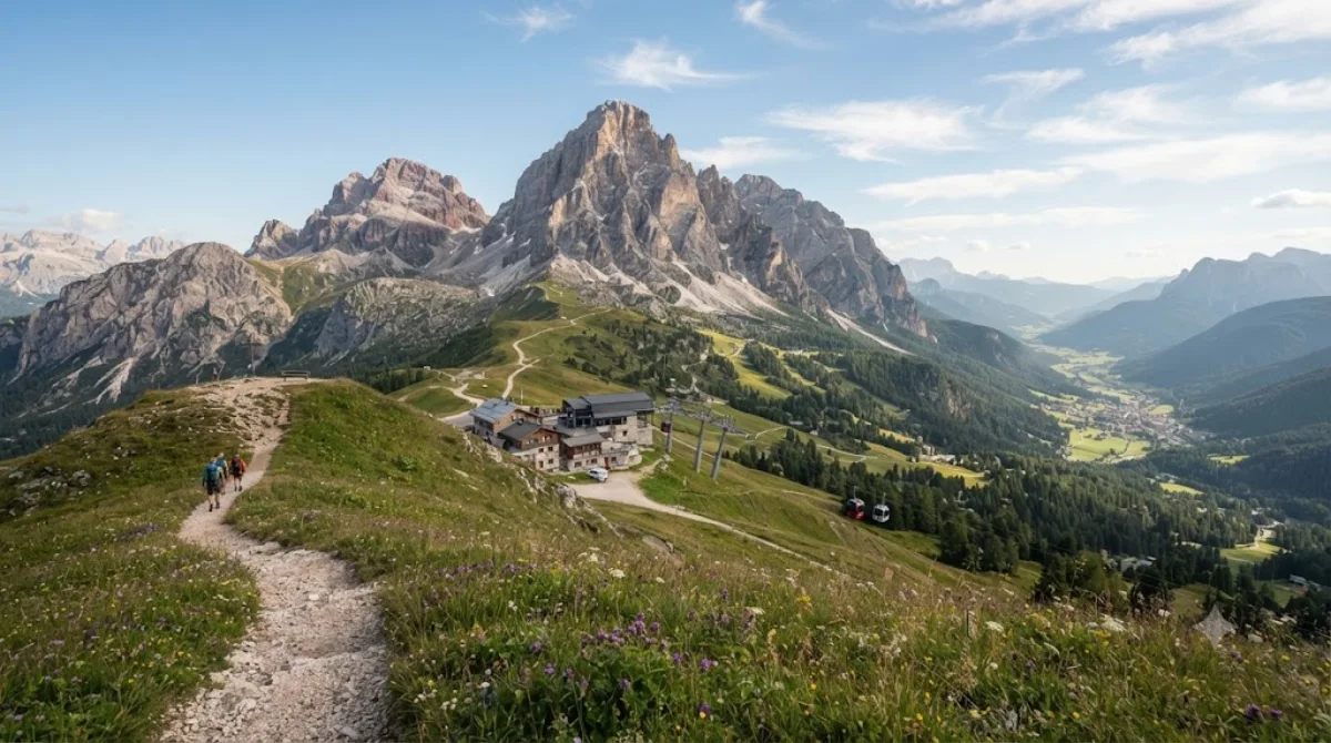
Helm is a mountain in South Tyrol, Italy's Puster Valley, known for gentle ridges and meadows rather than the jagged peaks typical of the Alps, drawing travelers who want to walk and take in the views. Its appeal lies less in any specific landmark than in the terrain itself, which offers sweeping views of the valley and surrounding mountains.
-
EveningPragser Wildsee
Nature · 23.2 km from the previous stop
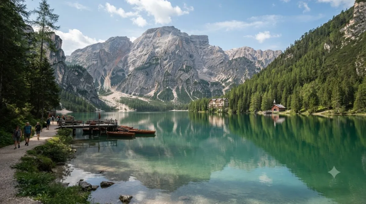
Pragser Wildsee (Lago di Braies) is a natural lake in the Prags Valley of the Dolomites, South Tyrol, Italy. It's known for its deep turquoise water set against the rock walls of the Croda Rossa massif, with an easy circular path around the shore that lets visitors take in the whole lake without much exertion. Traditional wooden rowboats can also be rented for views of the surrounding mountains from the water.
DAY 3
Around Monte Civetta · Nature
Directions in Google Maps-
MorningMonte Civetta
Nature
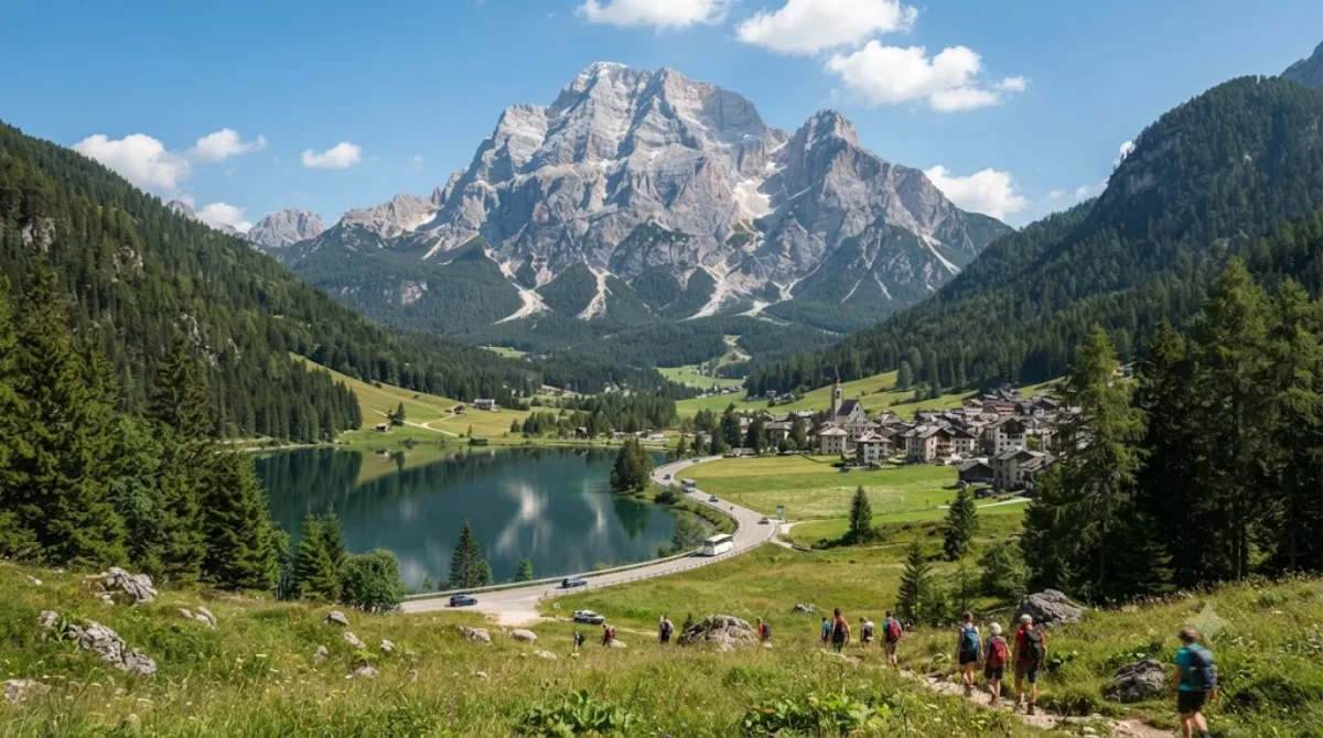
Monte Civetta is one of the Dolomites' major peaks in Italy's Belluno province, often regarded as a symbol of the range. It's especially famous for its northwest face as seen from the valley near Taibon Agordino, where a vast, near-vertical wall of rock dominates the entire valley.
-
After lunchMonte Pelmo
Nature · 7.6 km from the previous stop
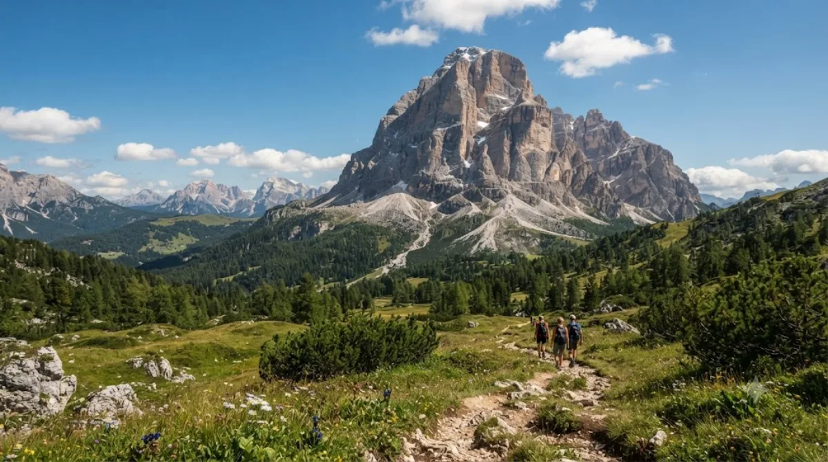
Monte Pelmo is a peak in the Dolomites, located in Italy's Belluno province. It rises somewhat apart from the surrounding ridgelines, giving it a distinctive silhouette visible from every direction, and most visitors come not to climb it but to walk the trails at its base and take in its presence up close.
-
AfternoonGiau Pass
Nature · 9.5 km from the previous stop
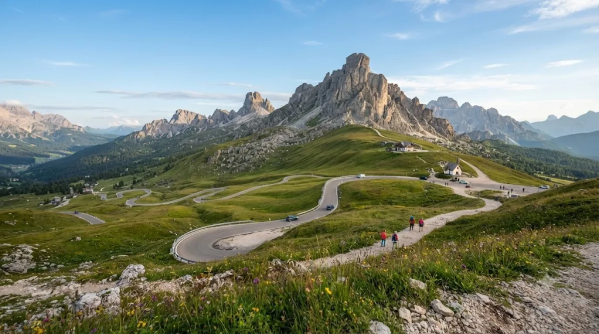
Giau Pass sits at 2,236 meters in the Dolomites of Italy's Belluno province, connecting Cortina d'Ampezzo with Colle Santa Lucia and Selva di Cadore. Gentle green pastures rise into jagged limestone peaks all around, so even a drive through the pass offers a close-up view of the Dolomites' distinctive landscape.
-
EveningCol di Lana
Nature · 6.3 km from the previous stop
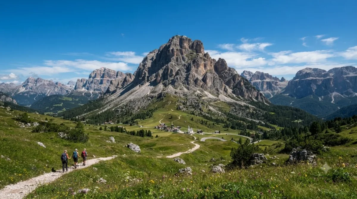
Col di Lana is a mountain in the Fanes group of the Italian Dolomites; its actual summit, Cima Lana, lies in the municipality of Livinallongo del Col di Lana in the Province of Belluno. Rather than being known for cable cars or tourist facilities, it's a mountain reached on foot, offering views over the Fanes group and surrounding Dolomite peaks, and is mainly visited for hiking and trekking.
DAY 4
Around Antelao · Nature
Directions in Google Maps-
MorningAntelao
Nature
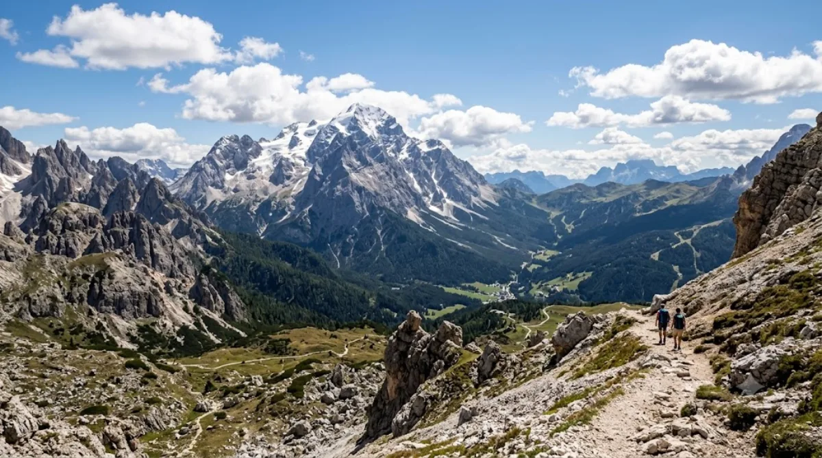
Antelao is the highest peak in the eastern Dolomites of northeastern Italy, rising in the Cadore region southeast of Cortina d'Ampezzo. Its solitary, towering shape sets it apart from surrounding peaks, drawing many travelers for climbing and high-altitude trekking. Even without reaching the summit, trails along its base offer close views of the Dolomites' distinctive limestone cliffs and spires.
-
AfternoonMonte Cristallo
Nature · 14.4 km from the previous stop
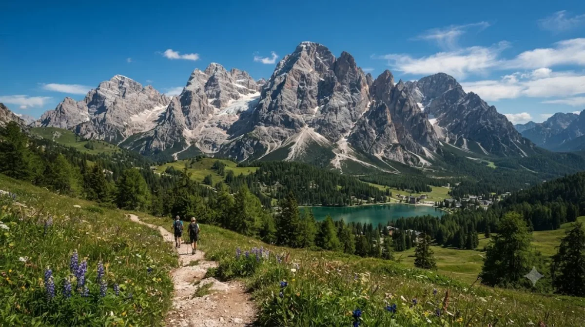
Monte Cristallo is a Dolomite massif northeast of Cortina d'Ampezzo, popular with hikers and via ferrata climbers thanks to its jagged rocky ridges and cable-car-accessible viewpoints. Taking the cable car or lift up to the summit ridge lets you take in the Dolomites' characteristic grey-white rock spires and valley views up close without having to hike.
-
EveningLake Misurina
Nature · 4.2 km from the previous stop
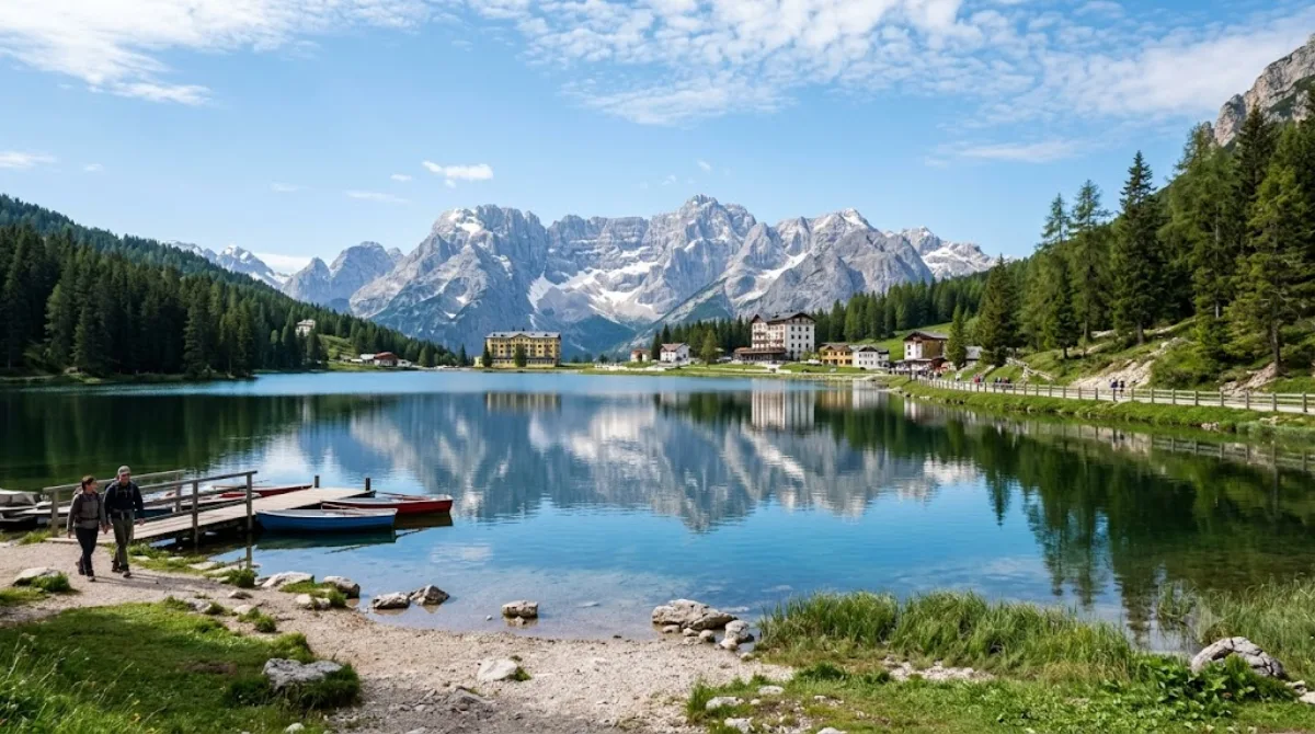
Lake Misurina is the largest natural lake in the Cadore area, sitting at 1,754 meters above sea level. Its 2.6km shoreline makes for an easy walk around, and the view across the water to the Cadini group and Sorapis range makes it a popular photo spot. With a maximum depth of just 5 meters, the water looks clear and still.
Where to stay for this itinerary
Around Tre Cime di Lavaredo, the anchor of day one. Staying here keeps your first day's travel shortest.
-
Hotel Sorapiss 3-star
5.8 km
-
Hotel Lavaredo 3-star
5.9 km
-
Hotel Dolomitenhof 4-star
6.4 km · Sexten - Sesto
-
Albergo Ristorante al Mughetto 2-star
8.5 km
-
Family Resort Rainer 4-star
8.9 km
-
Albergo Ristorante Cacciatori 3-star
8.9 km
 Booking.com
 Hotels.com
Check prices and availability on the booking sites.
More stays in Dolomites →Check flights to Dolomites first
Pick a departure airport and date to jump straight to results for Venice Marco Polo (VCE) & Innsbruck (INN).
Check fares and seat availability on the flight search site.
Tours & tickets for this itinerary
Popular sights often sell out on the day. Once your plan is set, secure tickets and tours in advance.
 GetYourGuide
 Klook
Klook
 Tiqets
 KKday
KKday
 WeGoTrip