Nature
Giau Pass
What Giau Pass is
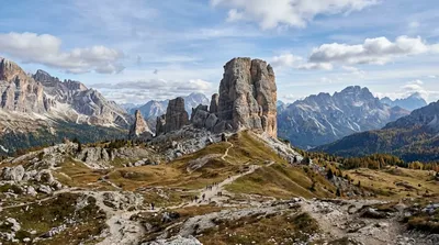
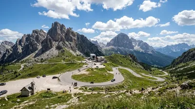
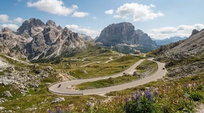
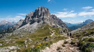
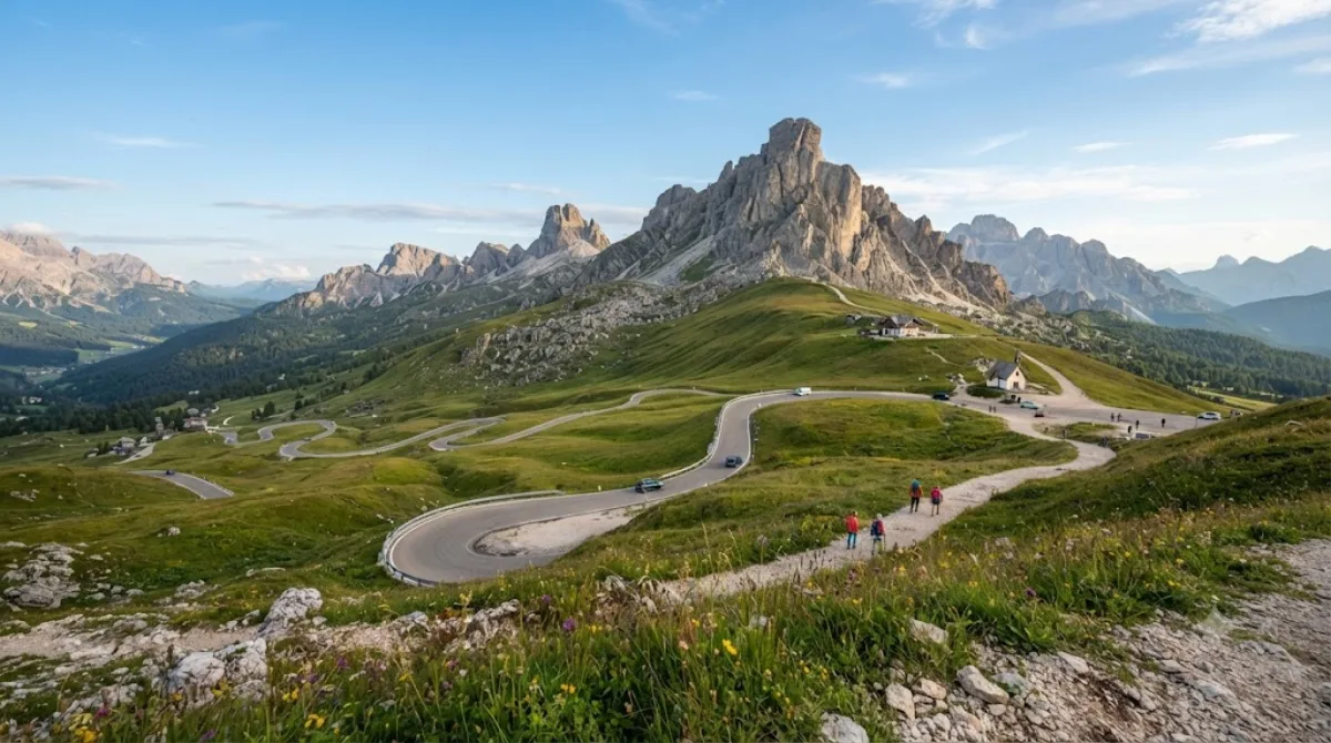
Giau Pass is a mountain road pass at 2,236 m in the Dolomites, connecting Cortina d'Ampezzo with Colle Santa Lucia and Selva di Cadore. It's known for the wide, open bowl of grassland around the pass, ringed by exposed rock peaks, which gives an unobstructed view in most directions without needing to hike far. Travelers come here for the scenery from the road and the short walks around the saddle, not for a specific building or monument.
Getting there
From Cortina d'Ampezzo, it's about a 40-minute drive via the SP638 road, which climbs in a series of hairpin bends. There's no direct public transport link, so a car, rental, or organized tour is the practical option. The road is paved but narrow in places, with tight switchbacks.
How much time to allow
Plan for at least 1–2 hours if you're stopping mainly for the views and a short walk near the top. Add more time if you want to walk one of the trails that start from the pass, some of which lead toward nearby peaks and refuges.
When to go
The pass is only accessible when the road is clear of snow, typically late spring through autumn; it can close in winter. Early morning or early evening light is best for photography, and mornings tend to have calmer weather before afternoon clouds build up. The parking areas and viewpoints get busy in the middle of the day during summer, especially on weekends.
Combining with nearby sights
- Cinque Torri (2.8 km) – a cluster of distinctive rock towers, easily paired as it's the closest stop.
- Falzarego Pass (5 km) – another mountain pass, often visited on the same driving loop.
- Valparola Pass (6.2 km) – close to Falzarego, worth combining if continuing further along the route.
- Lagazuoi Piccolo (6.3 km) – accessible from the Falzarego area, a reasonable add-on for the same day.
Updated September 20, 2026 · Edited by the World by City editors
 GetYourGuide
 Klook
Klook
 Tiqets
 KKday
KKday
 WeGoTrip
 Booking.com
 Hotels.com