World by City

Nature

Antelao

Antelao

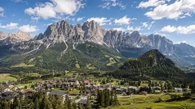
Monte Antelao is the highest mountain in the eastern Dolomites in northeastern Italy, southeast of the town of Cortina d'Ampezzo, in the region of Cadore. The Monte Antelao is an ultra-prominent peak (Ultra).

Monte Antelao

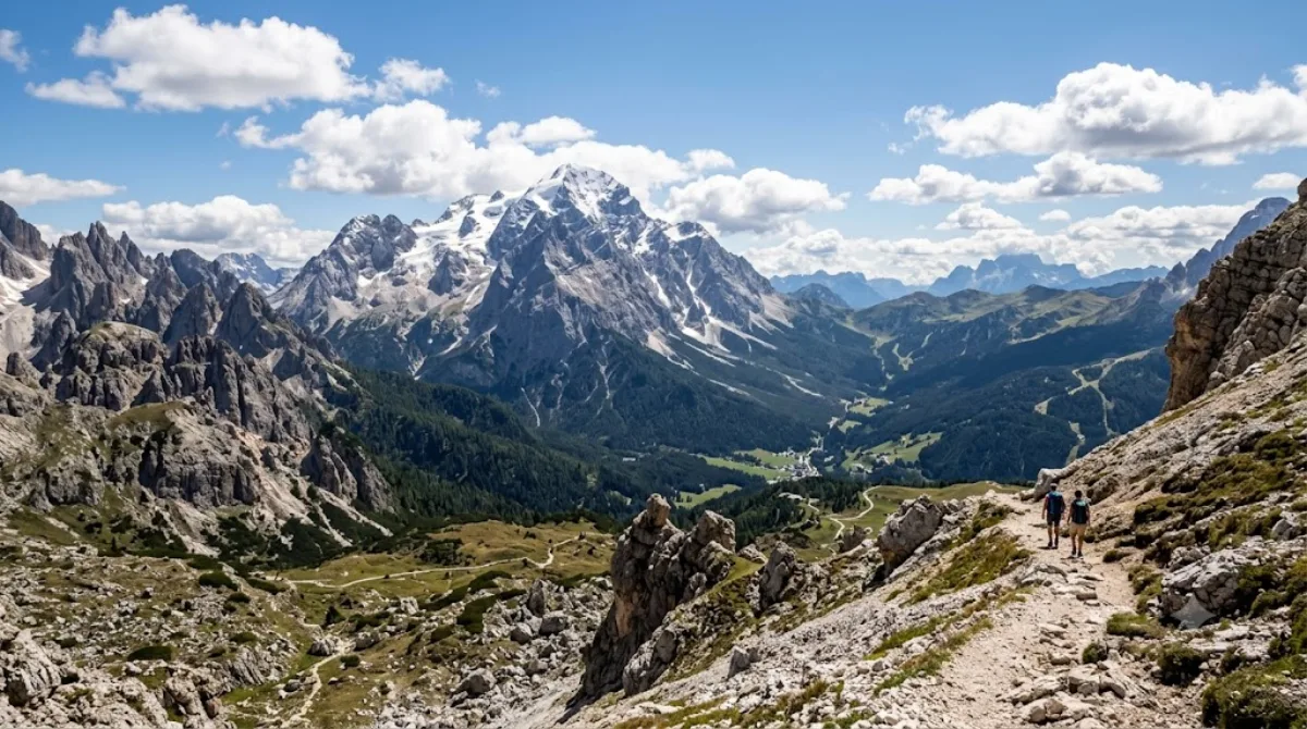
At 3,264 metres, Antelao is the highest peak of the eastern Dolomites, rising south-east of Cortina d'Ampezzo above the Cadore valley. It's a proper high-mountain massif rather than a viewpoint you stroll to — the appeal for most visitors is looking at its steep, glaciated north face from the valley or from surrounding trails, while the summit itself is a serious mountaineering objective for experienced climbers with the right equipment and, typically, a guide.

Getting there

There's no direct road to the mountain. From Cortina d'Ampezzo, drive toward San Vito di Cadore or Calalzo di Cadore, both roughly 20-30 minutes away, to reach trailheads on Antelao's flanks. From there, reaching mountain huts partway up involves several hours of hiking; the summit route is a multi-day undertaking for equipped alpinists.

Time to allow

A half-day is enough to drive out and take in the mountain from a lower vantage point or short trail. Hiking to a rifugio on its slopes is typically a full day out and back. Climbing to the summit requires overnight planning and mountaineering experience.

When to go

Snow can linger into early summer at altitude, so the main hiking and climbing season runs roughly July through September. Mornings tend to offer clearer views before afternoon cloud builds up over the peaks, which is common in the Dolomites in summer. It doesn't see the crowds of more accessible Dolomites landmarks, given the effort required to approach it.

Combine with

Cadore (9.7km) makes an easy pairing for the surrounding valley and villages. Monte Pelmo (10.4km) offers a comparable high-mountain view for those interested in the region's major peaks, while the Cadini group (14.2km) and Monte Cristallo (14.4km) are worth a separate day trip if you're based in or near Cortina.

Sources: open data from Wikipedia and OpenStreetMap · Updated August 5, 2026 · Edited by the World by City editors

Tickets & tours

Admission prices and opening hours change often, so we don't list them here. Check what's on sale and at what price below — booking ahead can cut the queue at some places.

This place may not appear in the results — some sites are free to enter or sell tickets only at the gate.

Stays near Antelao

Sorted by distance, walkable ones first. Distances are straight-line.

Map © OpenStreetMap contributors. Lines are straight connections, not actual routes.

Antelao Nearby stays

Locations and names come from OpenStreetMap. Check prices and availability on the booking sites.

Itineraries including this place

Good to visit alongside

Cadore

Nature

Cadore

Cadore is a historical region in the Italian region of Veneto, in the northernmost part of the province of Belluno bordering on Austria, the Trentino-Alto Adige/Südtirol and Friuli-Venezia Giulia. It is watered by the Piave River which has its source in the Carnic Alps. Once an undeveloped and poor district, the former contado (countship) of Cadore now has a thriving economy based on tourism and a small manufacturing industry, specialising in the production of glasses.

9.7 km away

Monte Pelmo

Nature

Monte Pelmo

Monte Pelmo is a mountain of the Dolomites, in the province of Belluno, Northeastern Italy.

10.4 km away

Cadini group

Nature

Cadini group

Cadini di Misurina is a group of mountains in the eastern Dolomites in the Province of Belluno, Italy. These mountains rise to the west of Auronzo di Cadore, north-east of Cortina d'Ampezzo and south of Dobbiaco, in a position overlooking Lake Misurina. They are part of the Dolomites subsection of Sesto, of Braies, and Ampezzo, and belong to the municipality of Auronzo di Cadore. The highest peak is the Cima Cadin of San Lucano.

14.2 km away

Monte Cristallo

Nature

Monte Cristallo

14.4 km away

Lake Misurina

Nature

Lake Misurina

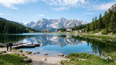
Lake Misurina is the largest natural lake of the Cadore. it sits 1,754 m above sea level, near Auronzo di Cadore (Belluno). The lake's perimeter is 2.6 km long, while the maximum depth is 5 m.

14.4 km away

Giau Pass

Nature

Giau Pass

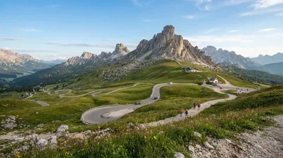
The Giau Pass (el. 2236 m.) is a high mountain pass in the Dolomites in the province of Belluno in Italy. It connects Cortina d'Ampezzo with Colle Santa Lucia and Selva di Cadore.

16.4 km away