World by City

自然

Antelao

Antelao

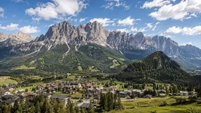
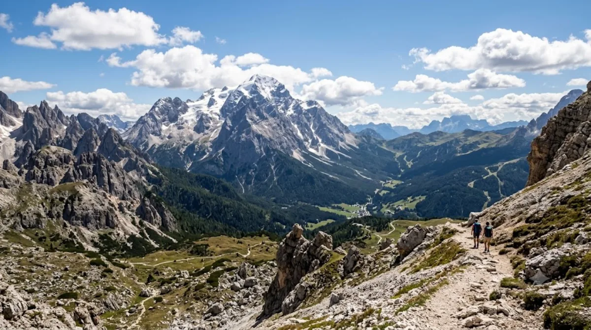
Monte Antelao is the highest mountain in the eastern Dolomites in northeastern Italy, southeast of the town of Cortina d'Ampezzo, in the region of Cadore. The Monte Antelao is an ultra-prominent peak (Ultra).

Monte Antelao

At 3,264 metres, Antelao is the highest peak of the eastern Dolomites, rising south-east of Cortina d'Ampezzo above the Cadore valley. It's a proper high-mountain massif rather than a viewpoint you stroll to — the appeal for most visitors is looking at its steep, glaciated north face from the valley or from surrounding trails, while the summit itself is a serious mountaineering objective for experienced climbers with the right equipment and, typically, a guide.

Getting there

There's no direct road to the mountain. From Cortina d'Ampezzo, drive toward San Vito di Cadore or Calalzo di Cadore, both roughly 20-30 minutes away, to reach trailheads on Antelao's flanks. From there, reaching mountain huts partway up involves several hours of hiking; the summit route is a multi-day undertaking for equipped alpinists.

Time to allow

A half-day is enough to drive out and take in the mountain from a lower vantage point or short trail. Hiking to a rifugio on its slopes is typically a full day out and back. Climbing to the summit requires overnight planning and mountaineering experience.

When to go

Snow can linger into early summer at altitude, so the main hiking and climbing season runs roughly July through September. Mornings tend to offer clearer views before afternoon cloud builds up over the peaks, which is common in the Dolomites in summer. It doesn't see the crowds of more accessible Dolomites landmarks, given the effort required to approach it.

Combine with

Cadore (9.7km) makes an easy pairing for the surrounding valley and villages. Monte Pelmo (10.4km) offers a comparable high-mountain view for those interested in the region's major peaks, while the Cadini group (14.2km) and Monte Cristallo (14.4km) are worth a separate day trip if you're based in or near Cortina.

出典:ウィキペディア・OpenStreetMap の公開データ · 2026年8月5日 更新 · 編集 World by City 編集部

チケット・ツアー予約

入場料や営業時間は変わりやすいためここには載せていません。下で現在販売中のチケットと価格をご確認ください。事前購入で待ち時間を減らせる場所もあります。

検索結果にこの場所のチケットがない場合もあります。入場無料、または現地販売のみの施設もあります。

Antelao 周辺の宿

歩いて行ける距離から近い順に並べています。距離は直線距離です。

地図 © OpenStreetMap 寄稿者。直線でつないでいるため実際の経路とは異なります。

Antelao 周辺の宿

宿の位置と名称は OpenStreetMap のデータに基づきます。価格と空室は各予約サイトでご確認ください。

この場所を含む日程

あわせて訪れたい場所

カドーレ

自然

カドーレ

Cadore is a historical region in the Italian region of Veneto, in the northernmost part of the province of Belluno bordering on Austria, the Trentino-Alto Adige/Südtirol and Friuli-Venezia Giulia. It is watered by the Piave River which has its source in the Carnic Alps. Once an undeveloped and poor district, the former contado (countship) of Cadore now has a thriving economy based on tourism and a small manufacturing industry, specialising in the production of glasses.

ここから 9.7 km

Monte Pelmo

自然

Monte Pelmo

Monte Pelmo is a mountain of the Dolomites, in the province of Belluno, Northeastern Italy.

ここから 10.4 km

Cadini group

自然

Cadini group

Cadini di Misurina is a group of mountains in the eastern Dolomites in the Province of Belluno, Italy. These mountains rise to the west of Auronzo di Cadore, north-east of Cortina d'Ampezzo and south of Dobbiaco, in a position overlooking Lake Misurina. They are part of the Dolomites subsection of Sesto, of Braies, and Ampezzo, and belong to the municipality of Auronzo di Cadore. The highest peak is the Cima Cadin of San Lucano.

ここから 14.2 km

Monte Cristallo

自然

Monte Cristallo

ここから 14.4 km

ミズリーナ湖

自然

ミズリーナ湖

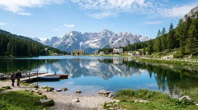
ミズリーナ湖 は、イタリア北東部ドロミーティの山岳地帯、カドーレ地方にある自然湖である。行政上はベッルーノ県アウロンツォ・ディ・カドーレに所在する。海抜は1754 m、周囲は2.6 km、深さは5 mである。

ここから 14.4 km

Giau Pass

自然

Giau Pass

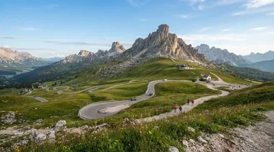
The Giau Pass (el. 2236 m.) is a high mountain pass in the Dolomites in the province of Belluno in Italy. It connects Cortina d'Ampezzo with Colle Santa Lucia and Selva di Cadore.

ここから 16.4 km