World by City

自然

カドーレ

Cadore

カドーレ

Cadore is a historical region in the Italian region of Veneto, in the northernmost part of the province of Belluno bordering on Austria, the Trentino-Alto Adige/Südtirol and Friuli-Venezia Giulia. It is watered by the Piave River which has its source in the Carnic Alps. Once an undeveloped and poor district, the former contado (countship) of Cadore now has a thriving economy based on tourism and a small manufacturing industry, specialising in the production of glasses.

What Cadore Is

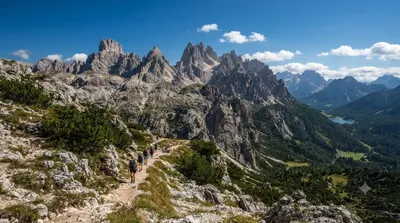
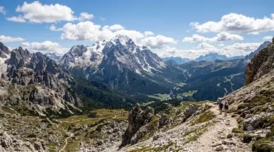
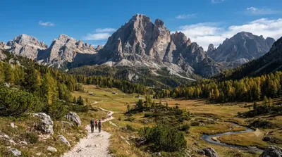
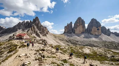
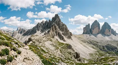
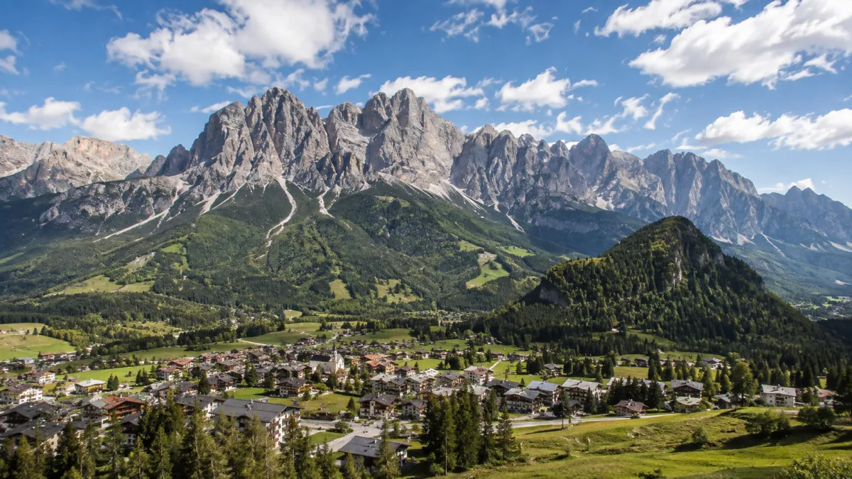
Cadore is not a single sight but a mountain region — the upper valley of the Piave River, framed by peaks such as Antelao. Historically an isolated, poor district, it's now known for two things that make it worth a visit: a landscape of forested valleys and dolomite peaks, and a longstanding eyewear manufacturing industry that still shapes the local economy. Travellers come here less for one landmark and more for a base to explore Dolomite scenery, small mountain towns, and outdoor routes away from the busier resort areas.

Getting There

Cadore spans a wide area rather than one point, so "getting there" depends on which part you're headed to. From towns in the region (such as Cortina d'Ampezzo or Pieve di Cadore), expect to drive along valley roads through the Piave gorge; journeys between villages typically take 20–40 minutes by car. There is no direct rail line through the heart of the region, so a car is the practical way to move around.

Time to Allow

Because Cadore is a region rather than a single stop, allow at least a full day to get a sense of it — more if you plan to hike or visit several villages. A single valley drive with a couple of stops can be done in half a day.

When to Go

Summer offers the most reliable access to higher trails and viewpoints, while spring and autumn bring quieter roads and villages. Winter travel in the higher valleys depends on snow conditions. The region is less crowded than the main Dolomite resort towns, though roads and parking near popular trailheads can fill up in peak summer weeks.

Combine With

  • Cadini group (9.5km) — a cluster of dolomite peaks for hiking or photography.
  • Antelao (9.7km) — one of the tallest peaks in the Dolomites, visible across much of Cadore.
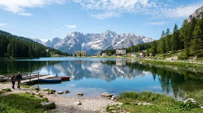
  • Lake Misurina (11.3km) — a mountain lake popular for walking and views.
  • Zwölferkofel (12.2km) — a peak on the border area, suited to more experienced hikers.

These sights cluster within a roughly 10–12km radius, making them reasonable to combine into a single day's driving loop with stops.

出典:ウィキペディア・OpenStreetMap の公開データ · 2026年8月5日 更新 · 編集 World by City 編集部

チケット・ツアー予約

入場料や営業時間は変わりやすいためここには載せていません。下で現在販売中のチケットと価格をご確認ください。事前購入で待ち時間を減らせる場所もあります。

検索結果にこの場所のチケットがない場合もあります。入場無料、または現地販売のみの施設もあります。

カドーレ 周辺の宿

歩いて行ける距離から近い順に並べています。距離は直線距離です。

地図 © OpenStreetMap 寄稿者。直線でつないでいるため実際の経路とは異なります。

カドーレ 周辺の宿

宿の位置と名称は OpenStreetMap のデータに基づきます。価格と空室は各予約サイトでご確認ください。

あわせて訪れたい場所

Cadini group

自然

Cadini group

Cadini di Misurina is a group of mountains in the eastern Dolomites in the Province of Belluno, Italy. These mountains rise to the west of Auronzo di Cadore, north-east of Cortina d'Ampezzo and south of Dobbiaco, in a position overlooking Lake Misurina. They are part of the Dolomites subsection of Sesto, of Braies, and Ampezzo, and belong to the municipality of Auronzo di Cadore. The highest peak is the Cima Cadin of San Lucano.

ここから 9.5 km

Antelao

自然

Antelao

Monte Antelao is the highest mountain in the eastern Dolomites in northeastern Italy, southeast of the town of Cortina d'Ampezzo, in the region of Cadore. The Monte Antelao is an ultra-prominent peak (Ultra).

ここから 9.7 km

ミズリーナ湖

自然

ミズリーナ湖

ミズリーナ湖 は、イタリア北東部ドロミーティの山岳地帯、カドーレ地方にある自然湖である。行政上はベッルーノ県アウロンツォ・ディ・カドーレに所在する。海抜は1754 m、周囲は2.6 km、深さは5 mである。

ここから 11.3 km

Zwölferkofel

自然

Zwölferkofel

The Zwölferkofel or Zwölfer is a peak of the Sexten Dolomites on the border between the provinces of South Tyrol and Belluno, in Italy.

ここから 12.2 km

チマ・オヴェスト

自然

チマ・オヴェスト

トレ・チーメ・ディ・ラヴァレード(Tre Cime di Lavaredo)は、イタリアのドロミーティにある標高2999 mの岩山群である。短縮してトレ・チーメ(「三つの峰」の意)とも呼ばれ、3 Cimeとも表記される。ドイツ語ではドライ・チンネン(Drei Zinnen)と呼ばれる。イタリア共和国のヴェネト州とトレンティーノ=アルト・アディジェ州の境に位置する。トレ・チーメ自然公園 の中核を成す。

ここから 12.8 km

モンテ・パテルノ

自然

モンテ・パテルノ

The Paterno is a mountain in the Dolomites on the border between South Tyrol and the Province of Belluno, Italy.

ここから 13.9 km