World by City

자연

Cadore

Cadore

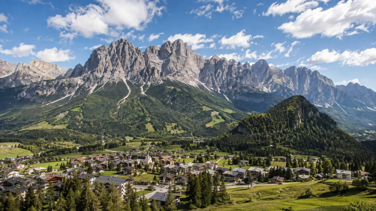
Cadore is a historical region in the Italian region of Veneto, in the northernmost part of the province of Belluno bordering on Austria, the Trentino-Alto Adige/Südtirol and Friuli-Venezia Giulia. It is watered by the Piave River which has its source in the Carnic Alps. Once an undeveloped and poor district, the former contado (countship) of Cadore now has a thriving economy based on tourism and a small manufacturing industry, specialising in the production of glasses.

카도레는 어떤 곳인가

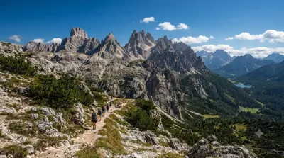
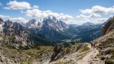
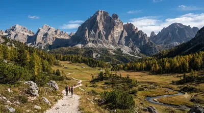
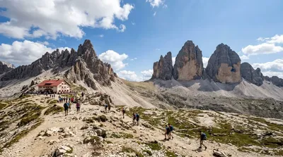
카도레는 벨루노주 북단, 오스트리아와 트렌티노알토아디제, 프리울리베네치아줄리아 경계에 걸친 역사적 지역이다. 돌로미티 산군 사이를 흐르며 카르니아 알프스에서 발원하는 피아베강이 이 일대를 적시며 좁은 계곡과 마을들을 이어준다. 과거에는 산간 오지의 가난한 지역이었지만 지금은 관광업과 더불어 안경 제조업을 중심으로 한 소규모 제조업이 자리 잡아 지역 경제를 뒷받침하고 있다. 그래서 카도레는 웅장한 봉우리 하나를 보러 가는 곳이라기보다, 산과 강을 낀 여러 마을을 차로 오가며 돌로미티의 생활 풍경을 느끼기에 좋은 지역이다.

가는 방법과 소요 시간

가장 가까운 공항은 베네치아 마르코폴로(VCE)로, 자동차로 이동하면 대략 2시간 안팎이 걸린다. 인스브루크(INN) 공항에서 출발할 경우 알프스를 넘는 구간이 있어 다소 시간이 더 소요된다. 카도레 자체가 여러 마을로 이루어진 지역이라 대중교통보다는 자동차로 피아베강을 따라 난 도로를 따라 이동하는 것이 편리하다.

둘러보는 데 걸리는 시간

주요 마을 몇 곳을 둘러보고 강변 풍경을 즐기는 정도라면 반나절이면 충분하다. 다만 주변 산군까지 함께 살펴보려면 하루 이상 일정을 잡는 편이 여유롭다.

언제 가야 할까

여름철은 하이킹과 드라이브에 적합하지만 성수기에는 계곡 도로와 주요 마을에 방문객이 몰릴 수 있다. 겨울에는 높은 산악 지대로의 접근이 눈으로 제한될 수 있으니 이 시기에는 저지대 마을 위주로 계획하는 것이 무난하다.

함께 둘러보면 좋은 곳

카도레 주변에는 산악 명소가 가깝게 모여 있어 하루 코스로 묶기 좋다.

  • 카디니 그룹 - 약 9.5km 거리
  • 안텔라오 - 약 9.7km 거리
  • 미수리나 호수 - 약 11.3km 거리
  • 츠뵐퍼코펠 - 약 12.2km 거리

출처: 위키백과·OpenStreetMap 공개 자료 · 갱신 2026년 8월 5일 · 편집 World by City 편집팀

입장권·투어 예약

입장료와 운영 시간은 자주 바뀌어서 여기 적지 않습니다. 아래에서 지금 판매 중인 티켓과 가격을 확인하세요. 미리 사두면 현장 대기를 줄일 수 있는 곳도 있어요.

검색 결과에 이 장소의 티켓이 없을 수도 있어요. 무료 입장이거나 현장 발권만 하는 곳도 있습니다.

Cadore 근처 숙소

걸어서 오갈 수 있는 거리부터 가까운 순으로 정리했어요. 거리는 직선거리 기준입니다.

지도 © OpenStreetMap 기여자. 직선 연결이라 실제 이동 경로와는 다릅니다.

Cadore 근처 숙소

숙소 위치·이름은 OpenStreetMap 자료를 기반으로 하며, 가격과 예약 가능 여부는 각 예약 사이트에서 확인해 주세요.

같이 둘러보기 좋은 곳

Cadini group

자연

Cadini group

Cadini di Misurina is a group of mountains in the eastern Dolomites in the Province of Belluno, Italy. These mountains rise to the west of Auronzo di Cadore, north-east of Cortina d'Ampezzo and south of Dobbiaco, in a position overlooking Lake Misurina. They are part of the Dolomites subsection of Sesto, of Braies, and Ampezzo, and belong to the municipality of Auronzo di Cadore. The highest peak is the Cima Cadin of San Lucano.

여기서 9.5 km

Antelao

자연

Antelao

Monte Antelao is the highest mountain in the eastern Dolomites in northeastern Italy, southeast of the town of Cortina d'Ampezzo, in the region of Cadore. The Monte Antelao is an ultra-prominent peak (Ultra).

여기서 9.7 km

Lake Misurina

자연

Lake Misurina

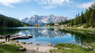
Lake Misurina is the largest natural lake of the Cadore. it sits 1,754 m above sea level, near Auronzo di Cadore (Belluno). The lake's perimeter is 2.6 km long, while the maximum depth is 5 m.

여기서 11.3 km

Zwölferkofel

자연

Zwölferkofel

The Zwölferkofel or Zwölfer is a peak of the Sexten Dolomites on the border between the provinces of South Tyrol and Belluno, in Italy.

여기서 12.2 km

Tre Cime di Lavaredo

자연

Tre Cime di Lavaredo

The Tre Cime di Lavaredo, also called the Drei Zinnen, are three distinctive battlement-like peaks, in the Sexten Dolomites of northeastern Italy. They are one of the best-known mountain groups in the Alps. The three peaks, from east to west, are:Cima Piccola / Kleine Zinne Cima Grande / Große Zinne Cima Ovest / Westliche Zinne.

여기서 12.8 km

Paternkofel

자연

Paternkofel

The Paterno is a mountain in the Dolomites on the border between South Tyrol and the Province of Belluno, Italy.

여기서 13.9 km