Natur
Cadore
Cadore: Natur und Geschichte in den Dolomiten
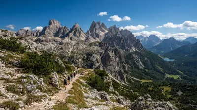
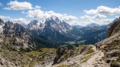
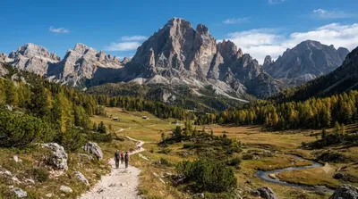
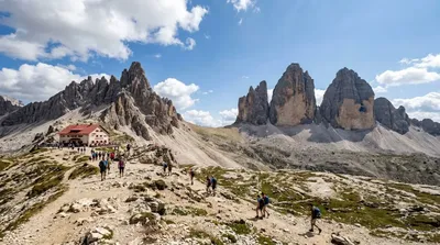
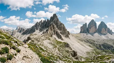
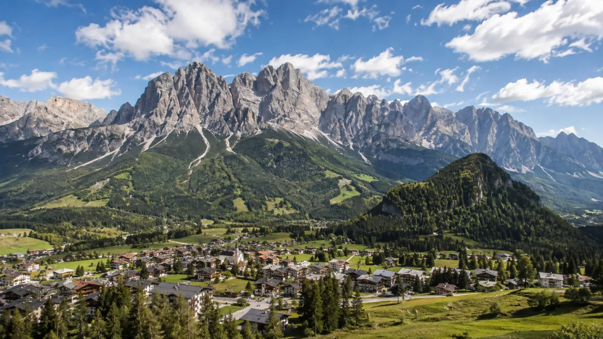
Cadore ist eine historische Region im Norden der Provinz Belluno in Italien. Das Gebiet wird durch den Fluss Piave geprägt, der durch die Täler und Dörfer der Region fließt und die Landschaft mit den umliegenden Dolomitengipfeln verbindet. Reisende besuchen diese Region primär für Outdoor-Aktivitäten wie Wandern und Bergsteigen sowie zur Erkundung der alpinen Natur.
Anreise und Dauer
Die Region ist am besten mit dem Mietwagen von den Flughäfen Venedig Marco Polo (VCE) oder Innsbruck (INN) aus erreichbar. Da es sich um ein weitläufiges Gebiet und nicht um ein einzelnes Stadtzentrum handelt, variiert die Fahrzeit je nach Zielort innerhalb der Region, liegt jedoch meist zwischen zwei und drei Stunden.
Für eine erste Erkundung der Täler und Hauptorte sollte man mindestens zwei bis drei Tage einplanen, um die verschiedenen Wanderwege und die Geografie des Piave-Flusses zu erleben.
Beste Reisezeit
Die Region ist in den Sommermonaten für Wanderungen und im Winter für Wintersport zugänglich. In der Hochsaison, insbesondere im Juli und August, ist in den beliebten Tälern mit einem höheren Besucheraufkommen zu rechnen.
Kombinationsmöglichkeiten
Aufgrund der zentralen Lage lassen sich weitere Naturattraktionen in der Umgebung integrieren:
- Cadini-Gruppe: ca. 9,5 km entfernt
- Antelao: ca. 9,7 km entfernt
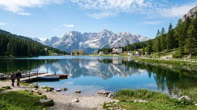
- Misurina-See: ca. 11,3 km entfernt
- Zwölferkofel: ca. 12,2 km entfernt
Aktualisiert 20. September 2026 · Redaktion die World by City-Redaktion
 GetYourGuide
 Klook
Klook
 Tiqets
 KKday
KKday
 WeGoTrip
 Booking.com
 Hotels.com