Natur
Cadini-Gruppe
Cadini group
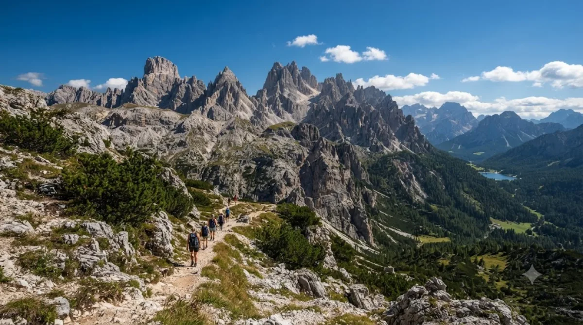
Die Cadini-Gruppe
Die Cadini-Gruppe ist ein Ensemble aus schroffen Felsnadeln in den östlichen Dolomiten in der Provinz Belluno, Italien. Reisende besuchen dieses Gebiet primär für Wanderungen und die Beobachtung der markanter geologischer Formationen. Der höchste Gipfel der Gruppe ist die Cima Cadin.
Anreise und Dauer
Die Gruppe liegt nordöstlich von Cortina d'Ampezzo. Die Anreise erfolgt am besten mit dem Mietwagen oder lokalen Bustransport in Richtung Auronzo di Cadore. Von den nächstgelegenen Ortschaften aus dauert die Fahrt zu den entsprechenden Ausgangspunkten der Wanderwege je nach Verkehrslage etwa 30 bis 60 Minuten.
Für die Erkundung der Aussichtspunkte und eine Wanderung durch das Gebiet sollten Besucher etwa 3 bis 6 Stunden einplanen, abhängig von der gewählten Route und dem individuellen Tempo.
Beste Besuchszeit
Die Region ist in den Sommermonaten am zugänglichsten, da die Wege im Winter oft schneebedeckt und gefährlich sind. Aufgrund der Popularität der Dolomiten kann es an den Hauptzugängen und Aussichtspunkten zu starkem Besucherandrang kommen. Ein früher Aufbruch am Morgen reduziert die Wahrscheinlichkeit, in Menschenmengen zu geraten.
Kombinationsmöglichkeiten
Aufgrund der geografischen Lage lassen sich weitere Sehenswürdigkeiten in die Planung integrieren:
- Misurina-See: 2,6 km entfernt
- Tre Cime di Lavaredo: 4,6 km entfernt
- Monte Piana: 5,4 km entfernt
- Paternkofel: 6,1 km entfernt
Aktualisiert 20. September 2026 · Redaktion die World by City-Redaktion
 GetYourGuide
 Klook
Klook
 Tiqets
 KKday
KKday
 WeGoTrip
 Booking.com
 Hotels.com