Natur
Monte Cristallo
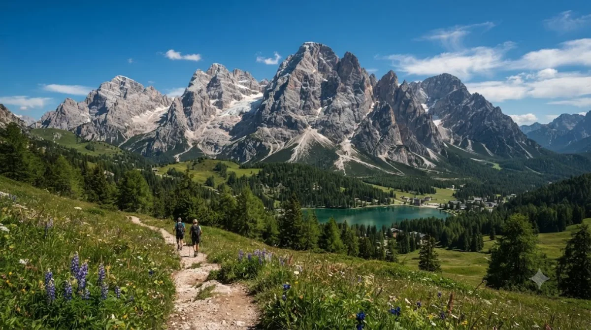
Monte Cristallo
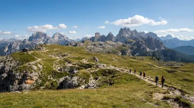
Der Monte Cristallo ist ein Massiv in den Dolomiten nordöstlich von Cortina d'Ampezzo. Er ist ein Ziel für Wanderer und Kletterer, die Via Ferrata-Routen nutzen. Über Seilbahnen und Lifte sind Aussichtspunkte auf dem Gipfelgrat erreichbar, die einen Blick auf die grauen Kalksteinfelsen und die umliegenden Täler ermöglichen, ohne dass ein vollständiger Aufstieg zu Fuß erforderlich ist.
Anreise und Zeitplanung
Vom Stadtzentrum von Cortina d'Ampezzo aus ist das Massiv mit dem Auto oder lokalen Busverbindungen erreichbar. Die Fahrtzeit beträgt je nach Verkehrsaufkommen etwa 15 bis 20 Minuten. Für den Besuch der Aussichtspunkte und kurze Wanderungen auf dem Grat sollte man etwa einen halben bis einen ganzen Tag einplanen.
Beste Reisezeit
Die Region ist in den Sommermonaten am zugänglichsten, da die Lifte dann in Betrieb sind. In der Hochsaison kann es an den Aussichtspunkten und bei den Seilbahnen zu hohem Besucheraufkommen kommen. In den Wintermonaten ist der Zugang aufgrund von Schnee und Wetterbedingungen stark eingeschränkt.
Kombinationsmöglichkeiten
In der näheren Umgebung befinden sich weitere Natursehenswürdigkeiten, die mit dem Monte Cristallo kombiniert werden können:
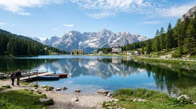
- Misurina-See: 4,2 km entfernt
- Monte Piana: 5,4 km entfernt
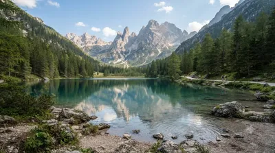
- Dürrensee: 6,6 km entfernt
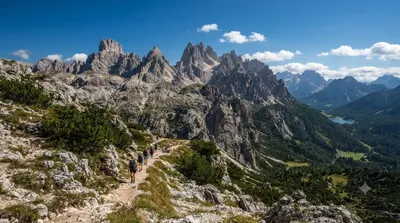
- Cadini-Gruppe: 6,7 km entfernt
Aktualisiert 20. September 2026 · Redaktion die World by City-Redaktion
 GetYourGuide
 Klook
Klook
 Tiqets
 KKday
KKday
 WeGoTrip
 Booking.com
 Hotels.com