Natur
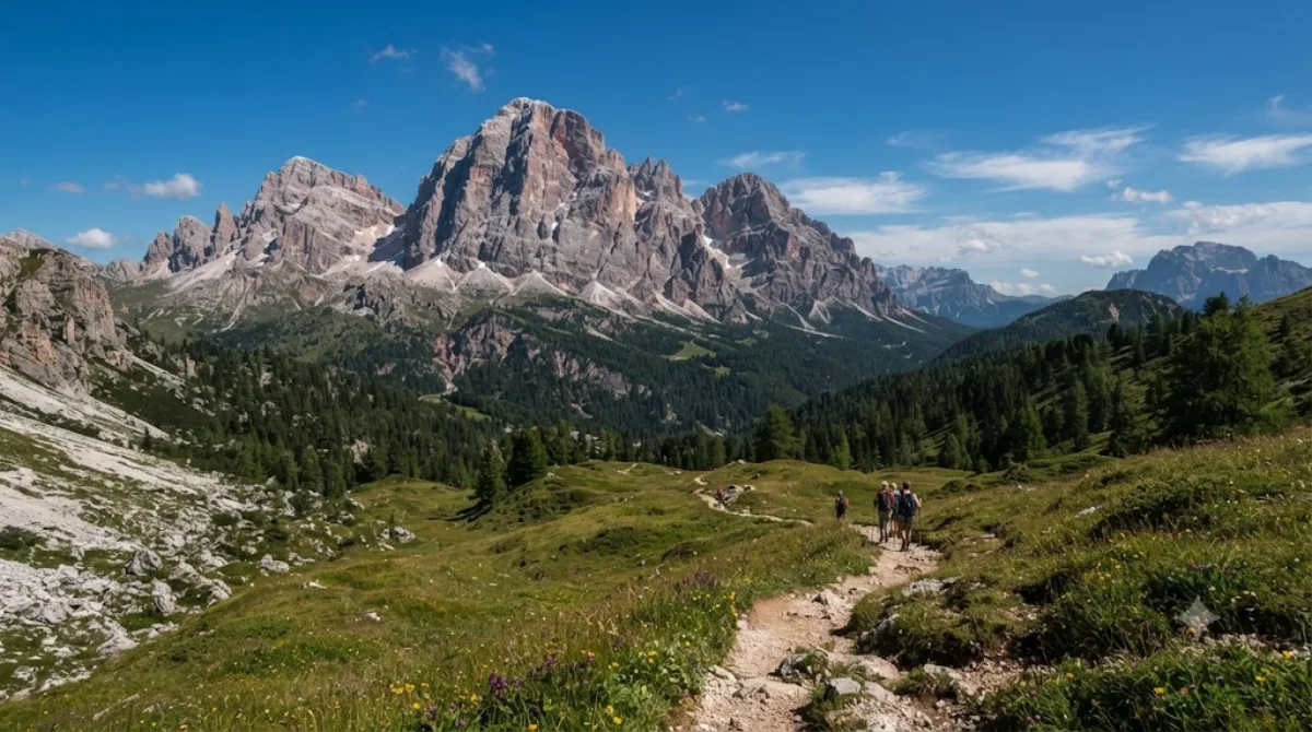
Hohe Gaisl
Hohe Gaisl
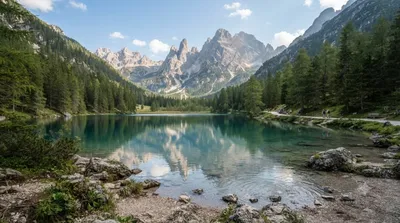
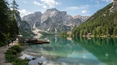
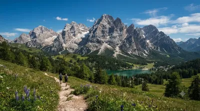
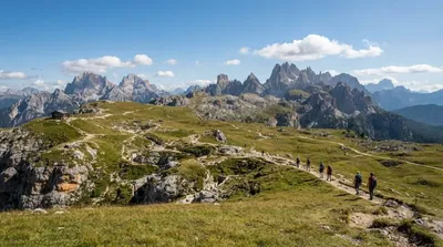
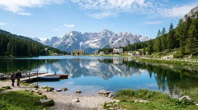
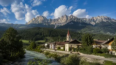
Der Hohe Gaisl ist ein 3.146 Meter hoher Berggipfel in den nördlichen Dolomiten, gelegen an der Grenze zwischen Südtirol und Venetien. Er befindet sich zwischen dem Pragsertal und dem Sextental. Aufgrund der erheblichen Höhenunterschiede und der felsigen Gratpassagen ist der Aufstieg zum Gipfel nur erfahrenen und gut ausgerüsteten Bergsteigern vorbehalten. Die meisten Besucher betrachten den Berg aus der Ferne von den umliegenden Tälern und Seen aus.
Anreise und Zeitaufwand
Die Anreise erfolgt in der Regel über die nächstgelegenen Orte in den Dolomiten. Von den Zentren der umliegenden Täler aus ist der Berg per Auto oder lokalem Bus erreichbar. Die Fahrzeit variiert je nach Startpunkt, liegt jedoch meist im Bereich von 30 bis 60 Minuten bis zu den entsprechenden Ausgangspunkten in den Tälern.
Für eine Wanderung in der Umgebung oder einen Aufstieg zum Gipfel sollte man einen gesamten Tag einplanen. Wer den Berg lediglich aus der Ferne betrachtet, benötigt je nach Standort nur wenige Stunden.
Beste Reisezeit
Die Region ist primär in den Sommermonaten zugänglich, wenn die Wege schneefrei sind. In den Wintermonaten ist der Zugang stark eingeschränkt. Da die Gegend um die umliegenden Seen sehr beliebt ist, kann es in der Hochsaison zu einem hohen Besucheraufkommen kommen.
Kombinationsmöglichkeiten
In der näheren Umgebung befinden sich weitere Natursehenswürdigkeiten und Gipfel, die mit dem Besuch kombiniert werden können:
- Dürrensee (7,5 km)
- Pragser Wildsee (7,7 km)
- Monte Cristallo (8,2 km)
- Monte Piana (8,3 km)
Aktualisiert 20. September 2026 · Redaktion die World by City-Redaktion
 GetYourGuide
 Klook
Klook
 Tiqets
 KKday
KKday
 WeGoTrip
 Booking.com
 Hotels.com