World by City

Nature

Hohe Gaisl

Open in Maps
Hohe Gaisl

Hohe Gaisl

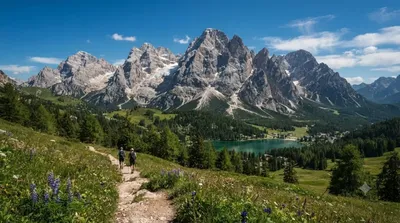
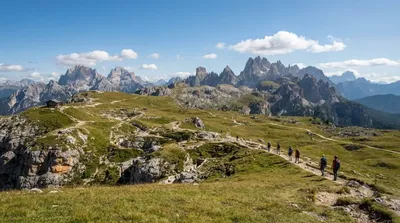
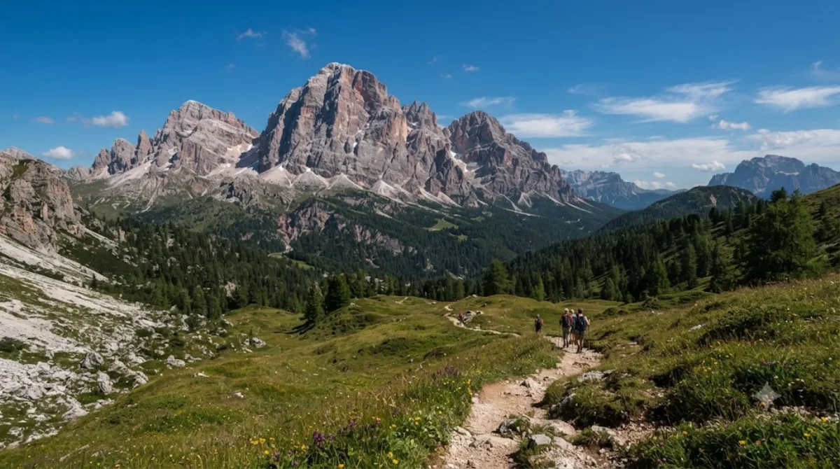
Hohe Gaisl is a 3,146m peak in the northern Dolomites, straddling the border between South Tyrol and Veneto. It sits between the Braies Valley and the Val di Landro, and its rocky, mostly untracked massif is more a backdrop for hikers and climbers in the surrounding valleys than a summit with a marked trail to the top — this is high-altitude Dolomite terrain, not a casual walk-up peak.

Getting there

There isn't a single "city centre" for this area; access is usually from villages such as Braies or Dobbiaco/Toblach, both reached by car (or local bus) from the Val Pusteria valley floor in around 20-30 minutes. From there, reaching viewpoints or approach trails toward the mountain typically means a further hike of an hour or more, depending on the route chosen.

Time to allow

Plan for a half-day to a full day if you're hiking into the area for views of the mountain rather than attempting a summit route, which would require mountaineering experience and a full day on its own.

When to go

Summer through early autumn is the realistic window, since snow can linger at this altitude outside those months. Go early in the day for clearer visibility and quieter trails — the nearby lakes draw heavy crowds by midday in peak summer, and parking at trailheads near Braies fills up fast.

Combine with

  • Dürrensee (7.5km) and Pragser Wildsee (7.7km) — two lakes within a short distance of each other, easily paired in one outing
  • Monte Cristallo (8.2km) and Monte Piana (8.3km) — other Dolomite peaks in the same general area, suited to a separate hiking day

Updated September 20, 2026 · Edited by the World by City editors

Tickets & tours

Admission prices and opening hours change often, so we don't list them here. Check what's on sale and at what price below — booking ahead can cut the queue at some places.

This place may not appear in the results — some sites are free to enter or sell tickets only at the gate.

Stays near Hohe Gaisl

Sorted by distance, walkable ones first. Distances are straight-line.

Map and place data © OpenStreetMap contributors

Hohe Gaisl Nearby stays

Check prices and availability on the booking sites.

Pick your dates — we'll search Dolomites hotels for you

Choose dates and guests, and the buttons below will open search results with your criteria. Prices differ between sites, so compare before you book.

Hotel membership

Staying at Accor hotels often? ALL Accor+ Explorer

A paid annual membership. It includes two free nights a year across Asia-Pacific, 30% off dining and 15% off drinks, and 15% off stays at more than 4,500 hotels worldwide.

Explore the membership

Good to visit alongside

Dürrensee

Nature

Dürrensee

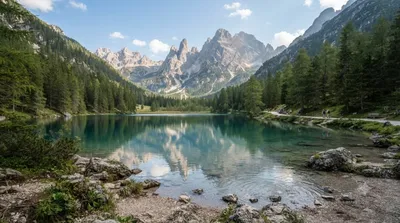
Lake Dürrensee (Italian: Lago di Landro) is a small mountain lake in South Tyrol, Italy, set within the Dolomites. Nestled in a narrow valley between Monte Piana and the Croda Rossa massif, it's known for the way its calm surface mirrors the surrounding conifer forests and cliffs.

7.5 km away

Pragser Wildsee

Nature

Pragser Wildsee

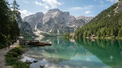
Pragser Wildsee (Lago di Braies) is a natural lake in the Prags Valley of the Dolomites, South Tyrol, Italy. It's known for its deep turquoise water set against the rock walls of the Croda Rossa massif, with an easy circular path around the shore that lets visitors take in the whole lake without much exertion. Traditional wooden rowboats can also be rented for views of the surrounding mountains from the water.

7.7 km away

Monte Cristallo

Nature

Monte Cristallo

Monte Cristallo is a Dolomite massif northeast of Cortina d'Ampezzo, popular with hikers and via ferrata climbers thanks to its jagged rocky ridges and cable-car-accessible viewpoints. Taking the cable car or lift up to the summit ridge lets you take in the Dolomites' characteristic grey-white rock spires and valley views up close without having to hike.

8.2 km away

Monte Piana

Nature

Monte Piana

Monte Piana is a 2,324-meter peak straddling the border of South Tyrol and Belluno province, part of the Sesto Dolomites. Its broad, plateau-like summit makes for a relatively easy climb, and a smaller peak to the north is known separately as Monte Piano.

8.3 km away

Lake Misurina

Nature

Lake Misurina

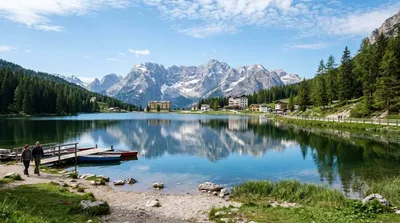
Lake Misurina is the largest natural lake in the Cadore area, sitting at 1,754 meters above sea level. Its 2.6km shoreline makes for an easy walk around, and the view across the water to the Cadini group and Sorapis range makes it a popular photo spot. With a maximum depth of just 5 meters, the water looks clear and still.

10.8 km away

Rienz

Nature

Rienz

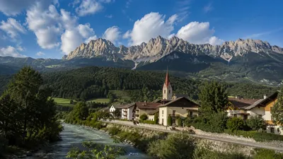
The Rienz is a river that rises at 2,180 meters in the Dolomites, south of Toblach (Dobbiaco). Its source lies in a high-altitude area studded with the Dolomites' iconic peaks, including the Tre Cime di Lavaredo, from where it flows roughly 90 km down the Puster Valley to join the Eisack River at Bressanone (Brixen).

12.6 km away