World by City

Nature

Monte Piana

Monte Piana

Monte Piana is a 2,324-metre (7,625 ft) mountain in the Sexten Dolomites, on the border between the provinces of South Tyrol and Belluno. The smaller northern summit is named Monte Piano.

What it is

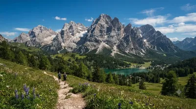
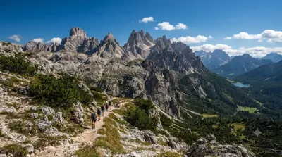
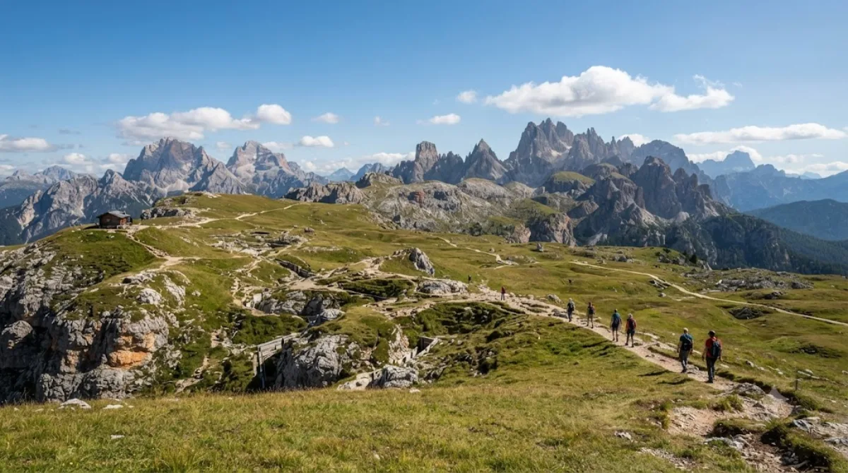
Monte Piana is a broad, flat-topped mountain plateau at 2,324 metres in the Sexten Dolomites, sitting right on the border between South Tyrol and Belluno. Unlike the jagged peaks around it, its summit is a wide open ridge, which is why it draws walkers rather than climbers: from the top you get unobstructed views across to the Tre Cime di Lavaredo and the surrounding Dolomite ranges. The mountain was also a front line during the First World War, and open-air trenches, tunnels and gun positions are still visible along the plateau, with some marked as an outdoor museum.

Getting there

Monte Piana isn't reached directly from a town centre. Drivers head to the Cimabanche/Carbonin area or the road below Lake Misurina, then continue to the Rifugio Podestagno/Monte Piana car park, from which a service road and hiking path lead up to the plateau. Allow 15-20 minutes by car from Lake Misurina before starting on foot.

Time to allow

The walk up from the car park takes around 1.5-2 hours on foot, following a jeep track; a shuttle service is sometimes available for those who don't want to walk up. Once on the plateau, plan at least 2-3 hours to explore the summit paths and war remains, more if you plan to walk the full loop and visit the small museum huts along the way.

When to go

Go in the morning if you want clearer visibility for the views, as clouds can build over the peaks by early afternoon in summer. The route is only accessible in snow-free months, roughly June to October; outside this window snow and ice make the plateau unsuitable for casual walking. Summer weekends can get busy at the car park and on the lower track.

Combine it with

Lake Misurina is only 3.9 km away and makes a natural stop before or after the walk. Dürrensee, 1.7 km off, is a short detour for a quieter lakeside break. The Tre Cime di Lavaredo, 5.1 km away and visible from the summit itself, are worth planning as a separate excursion given the walking time each requires.

Sources: open data from Wikipedia and OpenStreetMap · Updated August 5, 2026 · Edited by the World by City editors

Tickets & tours

Admission prices and opening hours change often, so we don't list them here. Check what's on sale and at what price below — booking ahead can cut the queue at some places.

This place may not appear in the results — some sites are free to enter or sell tickets only at the gate.

Stays near Monte Piana

Sorted by distance, walkable ones first. Distances are straight-line.

Map © OpenStreetMap contributors. Lines are straight connections, not actual routes.

Monte Piana Nearby stays

Locations and names come from OpenStreetMap. Check prices and availability on the booking sites.

Good to visit alongside

Dürrensee

Nature

Dürrensee

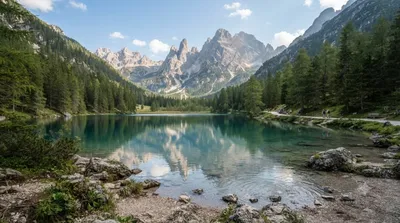
The Dürrensee is a lake in the Dolomites in South Tyrol, Italy.

1.7 km away

Lake Misurina

Nature

Lake Misurina

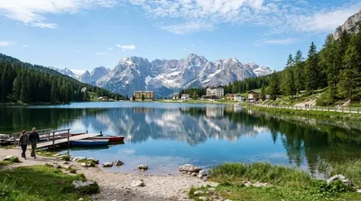
Lake Misurina is the largest natural lake of the Cadore. it sits 1,754 m above sea level, near Auronzo di Cadore (Belluno). The lake's perimeter is 2.6 km long, while the maximum depth is 5 m.

3.9 km away

Rienz

Nature

Rienz

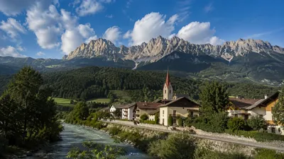
The Rienz is a river in South Tyrol, Italy. Its source is located at 2,180 m of altitude, in the Dolomites mountains, south of Toblach: near Toblach it enters in the Puster Valley, and, after 90 km (56 mi), it meets the Eisack river in the city of Brixen, at 550 m of altitude.

5.0 km away

Tre Cime di Lavaredo

Nature

Tre Cime di Lavaredo

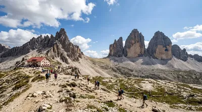
The Tre Cime di Lavaredo, also called the Drei Zinnen, are three distinctive battlement-like peaks, in the Sexten Dolomites of northeastern Italy. They are one of the best-known mountain groups in the Alps. The three peaks, from east to west, are:Cima Piccola / Kleine Zinne Cima Grande / Große Zinne Cima Ovest / Westliche Zinne.

5.1 km away

Monte Cristallo

Nature

Monte Cristallo

5.4 km away

Cadini group

Nature

Cadini group

Cadini di Misurina is a group of mountains in the eastern Dolomites in the Province of Belluno, Italy. These mountains rise to the west of Auronzo di Cadore, north-east of Cortina d'Ampezzo and south of Dobbiaco, in a position overlooking Lake Misurina. They are part of the Dolomites subsection of Sesto, of Braies, and Ampezzo, and belong to the municipality of Auronzo di Cadore. The highest peak is the Cima Cadin of San Lucano.

5.4 km away