Natur
Monte Piana
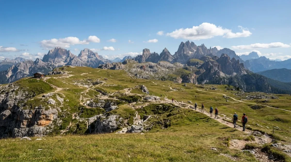
Monte Piana
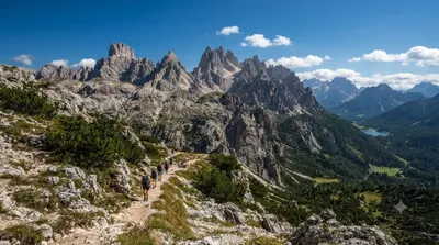
Der Monte Piana ist ein 2.324 Meter hoher Gipfel in den Sextner Dolomiten, der an der Grenze zwischen Südtirol und der Provinz Belluno liegt. Aufgrund seines breiten, plateauartigen Gipfels ist der Aufstieg vergleichsweise einfach. Reisende besuchen diesen Ort primär zum Wandern und um die geologische Beschaffenheit des Hochplateaus zu erkunden.
Anreise und Dauer
Die Anreise erfolgt in der Regel mit dem Auto oder lokalen Shuttle-Bussen aus den umliegenden Orten der Dolomiten. Da es sich um ein Bergmassiv handelt, gibt es kein klassisches Stadtzentrum, sondern verschiedene Ausgangspunkte in den Tälern. Die Fahrzeit variiert je nach Startpunkt, liegt aber meist im Bereich von 30 bis 60 Minuten bis zu den Wanderparkplätzen.
Für den Aufstieg und die Erkundung des Plateaus sollte man einen Zeitrahmen von etwa 4 bis 6 Stunden einplanen.
Beste Reisezeit
Die Region ist in den Sommermonaten am besten zugänglich, wenn die Wanderwege schneefrei sind. In der Hochsaison kann es an den Hauptzugängen und auf den Pfaden zu starkem Besucherandrang kommen. Um Menschenmengen zu vermeiden, empfiehlt sich ein Start in den frühen Morgenstunden.
Kombinationsmöglichkeiten
In der näheren Umgebung befinden sich weitere Natursehenswürdigkeiten, die mit dem Besuch kombiniert werden können:
- Dürrensee (1,7 km)
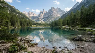
- Misurina-See (3,9 km)
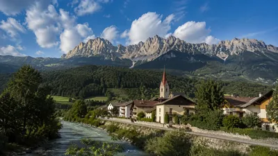
- Rienz (5 km)
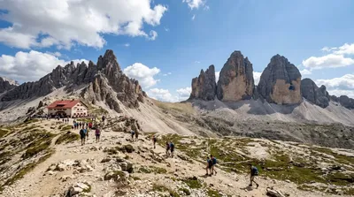
- Tre Cime di Lavaredo (5,1 km)
Aktualisiert 20. September 2026 · Redaktion die World by City-Redaktion
 GetYourGuide
 Klook
Klook
 Tiqets
 KKday
KKday
 WeGoTrip
 Booking.com
 Hotels.com