自然
ミズリーナ湖
Lake Misurina
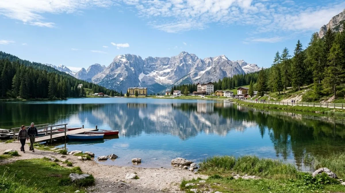
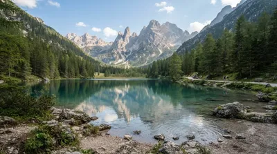
ミズリーナ湖 は、イタリア北東部ドロミーティの山岳地帯、カドーレ地方にある自然湖である。行政上はベッルーノ県アウロンツォ・ディ・カドーレに所在する。海抜は1754 m、周囲は2.6 km、深さは5 mである。
What it is
Lake Misurina is a small natural lake at 1,754 metres, ringed by forest and, above that, the peaks of the Cadini and Sorapiss groups. It's the largest natural lake in the Cadore area, though at 2.6 km around and only 5 m deep it's more of a scenic pause than a destination for boating or swimming. A path circles the shoreline, and the main draw is simply the setting: still water with the Dolomite peaks reflected in it.
Getting there
Misurina is a village, not a city with a defined centre — most visitors reach it by car or bus from Auronzo di Cadore or Cortina d'Ampezzo. From Auronzo it's roughly a 20-minute drive; from Cortina, closer to 30-40 minutes along the SS48 and SS532. Nearest airports are Venice Marco Polo (VCE) and Innsbruck (INN), both around a 2.5-3 hour drive.
How much time to allow
Walking the full lakeside path takes about 45 minutes to an hour at an easy pace. Add extra time if you plan to stop for photos or continue on foot toward the Cadini group.
When to go
The lake is accessible mainly from late spring to early autumn; in winter conditions can be icy and some services close. Midday in high summer brings the most visitors and parked cars along the road, so early morning or early evening gives calmer water and lighter traffic.
Combine it with
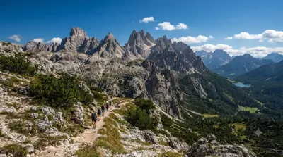
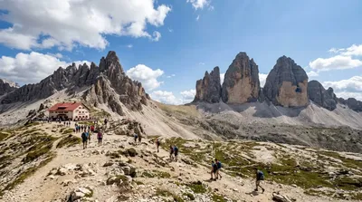
- Cadini group (2.6 km) — jagged peaks popular with hikers and photographers, reachable on a half-day outing.
- Monte Piana (3.9 km) — a plateau with WWI history and open views over the surrounding ranges.
- Monte Cristallo (4.2 km) — one of the higher massifs in the area, visible from the lakeshore.
- Dürrensee (5.6 km) — another Dolomite lake, useful if you want to compare the two on the same day.
出典:ウィキペディア・OpenStreetMap の公開データ · 2026年8月5日 更新 · 編集 World by City 編集部