自然
Monte Civetta
Monte Civetta is a prominent and major mountain of the Dolomites, in the Province of Belluno in northern Italy. Its north-west face can be viewed from the Taibon Agordino valley, and is classed as one of the symbols of the Dolomites.
Monte Civetta
Monte Civetta is one of the large freestanding massifs of the Dolomites, rising above the valley near Alleghe and Taibon Agordino. Its northwest wall is the main draw: a wide, steep rock face that is one of the more recognisable mountain profiles in the range, visited by hikers, climbers and via ferrata enthusiasts as well as people who just want to see it from below or from a nearby refuge.
Getting there
There is no direct public transport to the base of the mountain from a single city centre — most visitors reach it by car via the SR203 road through the Val di Zoldo or Agordo area, then continue on smaller access roads or trails to trailheads such as Palafavera or Listolade. Depending on your starting point in the Dolomites, expect roughly 30–60 minutes of driving to a trailhead, followed by a hike of several hours to reach the mountain itself or its refuges.
Time to allow
A half-day is enough for a short walk with views of the north face. Reaching a refuge on the mountain, or attempting one of the climbing routes, is a full-day undertaking, and multi-day trips are common for those tackling the longer alpine routes.
When to go
The main hiking and climbing season runs from summer into early autumn, when trails and via ferrate are typically free of snow. Mornings tend to offer clearer visibility of the face before afternoon cloud can build up. Trailheads and refuges get busy on summer weekends, so an early start is worth planning for.
Combine with
- Monte Pelmo (7.6 km) — another major Dolomite peak nearby, often viewed together with Civetta.
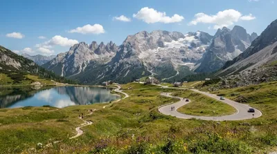
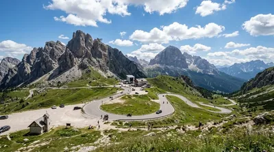
- Giau Pass (11.6 km) — a scenic mountain pass popular for driving or cycling.
- Col di Lana (13.8 km) — a lower peak with WWI history.
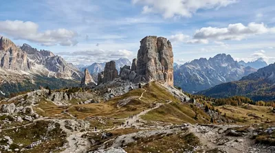
- Cinque Torri (14.4 km) — distinctive rock towers with open-air war relics.
出典:ウィキペディア・OpenStreetMap の公開データ · 2026年8月5日 更新 · 編集 World by City 編集部