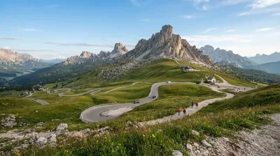
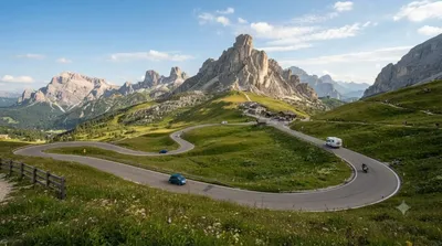
World by City

自然

ファルツァーレゴ峠

Falzarego Pass
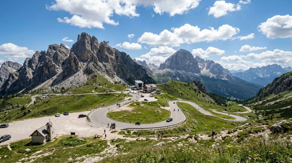
ファルツァーレゴ峠

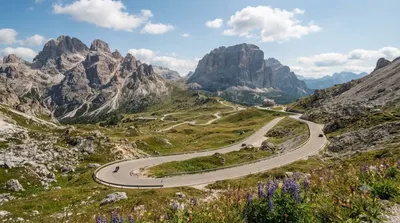
ファルツァーレゴ峠(passo di Falzàrego)は、イタリア共和国ヴェネト州ベッルーノ県にある国道48号の峠である。標高2105m。東はコルティーナ・ダンペッツォ(Cortina d'Ampezzo)、南はアーゴルド(Agordo)に繋がる。峠からラガツォイ(Lagazuoi, 2835 m)へのロープウェイがある。

Falzarego Pass

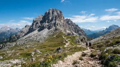
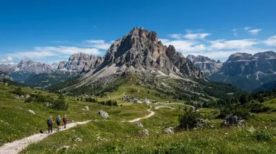
Falzarego Pass is a high mountain pass in the Dolomites, in the province of Belluno, sitting at around 2,100 metres between Cortina d'Ampezzo and the Val Badia side of the range. Travellers come mainly for the open views of the surrounding rock towers and for the cable car station at the pass that runs up to Lagazuoi, one of the more accessible high-altitude viewpoints in the area, with First World War tunnels and trenches cut into the mountain.

Getting there

From Cortina d'Ampezzo town centre, it's a drive of roughly 30 minutes along the SR48, a winding mountain road with a steady climb. There is no direct public transport link most of the year besides seasonal bus services, so most people arrive by car, motorbike, or bicycle — the pass is popular with road cyclists.

Time to allow

Allow 30–60 minutes just for the pass and the view. If you plan to ride the cable car up to Lagazuoi and walk around the summit area or through the war tunnels, set aside half a day.

When to go

Roads and facilities are geared toward the warmer months; in winter, snow and ice can make the drive slower and conditions more variable, so check the weather before heading up. Midday in July and August brings heavy car, motorbike, and cyclist traffic, plus queues for the cable car, so an early start is more comfortable.

Combine with

  • Valparola Pass (1.2km) — a neighbouring pass, easy to add to the same drive
  • Lagazuoi Piccolo (1.3km) — reached by the cable car from Falzarego itself
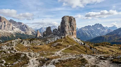
  • Cinque Torri (3.6km) — distinctive rock towers with open-air war museum trails
  • Col di Lana (4.4km) — another First World War site in the same area

出典:ウィキペディア・OpenStreetMap の公開データ · 2026年8月5日 更新 · 編集 World by City 編集部

チケット・ツアー予約

入場料や営業時間は変わりやすいためここには載せていません。下で現在販売中のチケットと価格をご確認ください。事前購入で待ち時間を減らせる場所もあります。

検索結果にこの場所のチケットがない場合もあります。入場無料、または現地販売のみの施設もあります。

ファルツァーレゴ峠 周辺の宿

歩いて行ける距離から近い順に並べています。距離は直線距離です。

地図 © OpenStreetMap 寄稿者。直線でつないでいるため実際の経路とは異なります。

ファルツァーレゴ峠 周辺の宿

宿の位置と名称は OpenStreetMap のデータに基づきます。価格と空室は各予約サイトでご確認ください。

あわせて訪れたい場所

Valparola Pass

自然

Valparola Pass

The Valparola Pass is a high mountain pass in the Dolomites in the province of Belluno in Italy.

ここから 1.2 km

ラガツォイ

自然

ラガツォイ

ラガツォイ (Lagazuoi) は、イタリア共和国ヴェネト州ベッルーノ県にあるファネス山塊 の山である。コルティーナ・ダンペッツォ の西約10 kmに位置する。標高28,357 m。

ここから 1.3 km

チンクェトッリ

自然

チンクェトッリ

チンクェトッリ(イタリア語: Cinque Torri、5 Torriとも書く)はイタリアの山岳地帯ドロミーティ東部のヌヴォラーウ山群(イタリア語: Gruppo del Nuvolau)北東部にある岩山群である。アヴェラーウの一部としてアヴェラーウのチンクェトッリ(イタリア語: Cinque Torri di Averau)とも呼ばれる。カタカナではチンクエトッリ、チンクエトーリ、チンクェ・トッリ、チンクエ・トッリなどの表記のバリエーションがある。

ここから 3.6 km

コル・ディ・ラーナ

自然

コル・ディ・ラーナ

コル・ディ・ラーナ(Col di Lana)は、イタリア共和国ベッルーノ県に位置する、ドロミーティの標高2452 mの山である。

ここから 4.4 km

Giau Pass

自然

Giau Pass

The Giau Pass (el. 2236 m.) is a high mountain pass in the Dolomites in the province of Belluno in Italy. It connects Cortina d'Ampezzo with Colle Santa Lucia and Selva di Cadore.

ここから 5.0 km

Campolongo Pass

自然

Campolongo Pass

The Campolongo Pass (1875 m) is a high mountain pass in the Dolomites in South Tyrol in Italy.

ここから 10.4 km