World by City

Natur

Passo di Falzarego

Falzarego Pass
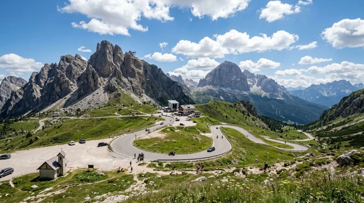
Passo di Falzarego

Der Passo di Falzàrego ist ein 2105 m s.l.m. hoher Gebirgspass in der italienischen Provinz Belluno.

Falzarego Pass

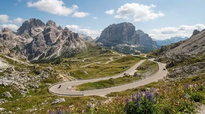
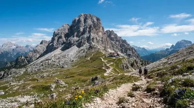
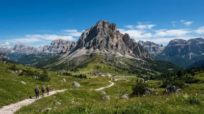
Falzarego Pass is a high mountain pass in the Dolomites, in the province of Belluno, sitting at around 2,100 metres between Cortina d'Ampezzo and the Val Badia side of the range. Travellers come mainly for the open views of the surrounding rock towers and for the cable car station at the pass that runs up to Lagazuoi, one of the more accessible high-altitude viewpoints in the area, with First World War tunnels and trenches cut into the mountain.

Getting there

From Cortina d'Ampezzo town centre, it's a drive of roughly 30 minutes along the SR48, a winding mountain road with a steady climb. There is no direct public transport link most of the year besides seasonal bus services, so most people arrive by car, motorbike, or bicycle — the pass is popular with road cyclists.

Time to allow

Allow 30–60 minutes just for the pass and the view. If you plan to ride the cable car up to Lagazuoi and walk around the summit area or through the war tunnels, set aside half a day.

When to go

Roads and facilities are geared toward the warmer months; in winter, snow and ice can make the drive slower and conditions more variable, so check the weather before heading up. Midday in July and August brings heavy car, motorbike, and cyclist traffic, plus queues for the cable car, so an early start is more comfortable.

Combine with

  • Valparola Pass (1.2km) — a neighbouring pass, easy to add to the same drive
  • Lagazuoi Piccolo (1.3km) — reached by the cable car from Falzarego itself
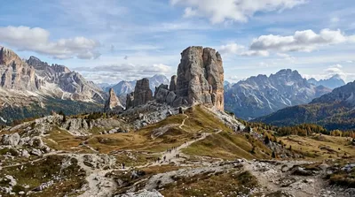
  • Cinque Torri (3.6km) — distinctive rock towers with open-air war museum trails
  • Col di Lana (4.4km) — another First World War site in the same area

Quellen: offene Daten von Wikipedia und OpenStreetMap · Aktualisiert 5. August 2026 · Redaktion die World by City-Redaktion

Tickets & Touren

Eintrittspreise und Öffnungszeiten ändern sich häufig und stehen daher nicht hier. Unten sehen Sie, was gerade angeboten wird – vorab buchen spart mancherorts Wartezeit.

Dieser Ort erscheint womöglich nicht in den Ergebnissen – manche Ziele sind kostenlos oder verkaufen nur vor Ort.

Unterkünfte nahe Passo di Falzarego

Nach Entfernung sortiert, fußläufige zuerst. Angaben als Luftlinie.

Karte © OpenStreetMap-Mitwirkende. Linien sind Luftlinien, keine echten Routen.

Passo di Falzarego Unterkünfte in der Nähe

Lage und Namen stammen aus OpenStreetMap. Preise und Verfügbarkeit bitte auf den Buchungsseiten prüfen.

Passt gut dazu

Valparolapass

Natur

Valparolapass

Der Valparolapass ist ein Pass in den Dolomiten in den italienischen Alpen. Er liegt in der Provinz Belluno (Venetien) nahe der Grenze zu Südtirol auf einer Höhe von 2168 m s.l.m. Der Valparolapass vermittelt einen Übergang vom nordseitig gelegenen Gadertal bzw. dessen südöstlichen Teilast, dem St.-Kassian-Tal, Richtung Süden nach Fodom.

1.2 km entfernt

Lagazuoi

Natur

Lagazuoi

Der Lagazuoi ist ein zweigipfliger Berg in der Fanesgruppe der Dolomiten. Der Große Lagazuoi ist 2835 m s.l.m. hoch, der Kleine Lagazuoi 2778 m. Letzterer ist durch eine Seilbahn erschlossen; etwas westlich steht das Rifugio Lagazuoi. Der Gebirgsstock ist weithin bekannt für seine Stollen aus dem Ersten Weltkrieg.

1.3 km entfernt

Cinque Torri

Natur

Cinque Torri

Die Cinque Torri sind eine bis zu 2361 m s.l.m. hohe Felsformation in den Ampezzaner Dolomiten an der Strecke zwischen dem Falzaregopass und Cortina d’Ampezzo.

3.6 km entfernt

Col di Lana

Natur

Col di Lana

Der Col di Lana ist ein 2462 m s.l.m. hoher Berg in der Fanesgruppe in den Dolomiten. Er liegt bei Livinallongo del Col di Lana in der Provinz Belluno (Italien).

4.4 km entfernt

Passo di Giau

Natur

Passo di Giau

Der Passo di Giau ist ein 2236 m s.l.m. hoher Gebirgspass in den Ampezzaner Dolomiten in den italienischen Alpen. Er liegt im Cadore in der Provinz Belluno und verbindet Cortina d’Ampezzo im Valle del Boite mit Selva di Cadore. Bei entsprechenden Wetterverhältnissen ist die Passstraße SP638 „del Passo di Giau“ auch im Winter geöffnet.

5.0 km entfernt

Campolongopass

Natur

Campolongopass

Der Campolongopass ist ein Pass in den Dolomiten zwischen dem Sella-Massiv und der Fanesgruppe in Italien. Er stellt die Verbindung zwischen Corvara und Arabba her.

10.4 km entfernt