World by City

Natur

Lagazuoi

Lagazuoi Piccolo
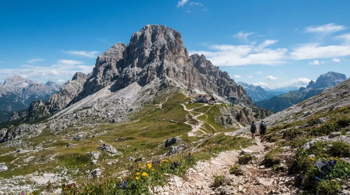
Lagazuoi

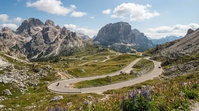
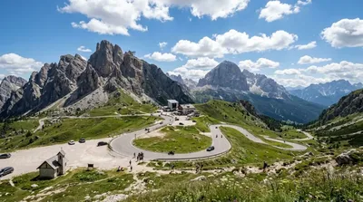
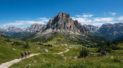
Der Lagazuoi ist ein zweigipfliger Berg in der Fanesgruppe der Dolomiten. Der Große Lagazuoi ist 2835 m s.l.m. hoch, der Kleine Lagazuoi 2778 m. Letzterer ist durch eine Seilbahn erschlossen; etwas westlich steht das Rifugio Lagazuoi. Der Gebirgsstock ist weithin bekannt für seine Stollen aus dem Ersten Weltkrieg.

What it is

Lagazuoi Piccolo is the lower of the two summits of Monte Lagazuoi (2,835m), reached by cable car from Passo Falzarego. The draw here is less the peak itself than what surrounds it: open tunnels and galleries carved into the rock by Italian and Austro-Hungarian troops during the First World War, when the mountain sat directly on the front line. A marked open-air route lets you walk through parts of this tunnel system, alongside trenches and gun positions, with the Ampezzo Dolomites and the Fanes group visible around you.

Getting there

From Cortina d'Ampezzo, it's roughly a 20-25 minute drive southwest along the road to Falzarego Pass, where the Lagazuoi cable car station is located. There's no rail link; a car, taxi, or seasonal bus from Cortina are the practical options.

Time to allow

Plan for at least half a day. The cable car ride up is a few minutes, but walking the war tunnel route and taking in the summit views typically takes 2-3 hours if you go at an unhurried pace and stop to read the interpretive panels along the way.

When to go

This is a high-altitude site, so it's only accessible when the cable car and trails are open for the season — check conditions before heading up, since snow and weather can close the route outside summer months. Midday in peak summer draws the most visitors; an earlier start gives clearer light for photos and a quieter tunnel walk.

Combine it with

  • Falzarego Pass (1.3km) — the cable car base station itself, worth a stop before or after.
  • Valparola Pass (0.7km) — close by, with its own wartime fort remains.
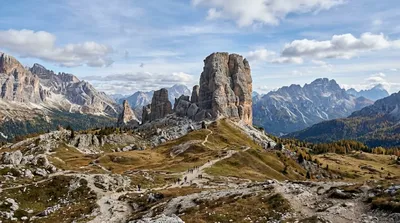
  • Cinque Torri (4.5km) — a short drive away, known for open-air open-air WWI positions and distinctive rock towers.
  • Col di Lana (5.1km) — another WWI front-line site for those following the region's wartime history further.

Quellen: offene Daten von Wikipedia und OpenStreetMap · Aktualisiert 5. August 2026 · Redaktion die World by City-Redaktion

Tickets & Touren

Eintrittspreise und Öffnungszeiten ändern sich häufig und stehen daher nicht hier. Unten sehen Sie, was gerade angeboten wird – vorab buchen spart mancherorts Wartezeit.

Dieser Ort erscheint womöglich nicht in den Ergebnissen – manche Ziele sind kostenlos oder verkaufen nur vor Ort.

Unterkünfte nahe Lagazuoi

Nach Entfernung sortiert, fußläufige zuerst. Angaben als Luftlinie.

Karte © OpenStreetMap-Mitwirkende. Linien sind Luftlinien, keine echten Routen.

Lagazuoi Unterkünfte in der Nähe

Lage und Namen stammen aus OpenStreetMap. Preise und Verfügbarkeit bitte auf den Buchungsseiten prüfen.

Passt gut dazu

Valparolapass

Natur

Valparolapass

Der Valparolapass ist ein Pass in den Dolomiten in den italienischen Alpen. Er liegt in der Provinz Belluno (Venetien) nahe der Grenze zu Südtirol auf einer Höhe von 2168 m s.l.m. Der Valparolapass vermittelt einen Übergang vom nordseitig gelegenen Gadertal bzw. dessen südöstlichen Teilast, dem St.-Kassian-Tal, Richtung Süden nach Fodom.

0.7 km entfernt

Passo di Falzarego

Natur

Passo di Falzarego

Der Passo di Falzàrego ist ein 2105 m s.l.m. hoher Gebirgspass in der italienischen Provinz Belluno.

1.3 km entfernt

Cinque Torri

Natur

Cinque Torri

Die Cinque Torri sind eine bis zu 2361 m s.l.m. hohe Felsformation in den Ampezzaner Dolomiten an der Strecke zwischen dem Falzaregopass und Cortina d’Ampezzo.

4.5 km entfernt

Col di Lana

Natur

Col di Lana

Der Col di Lana ist ein 2462 m s.l.m. hoher Berg in der Fanesgruppe in den Dolomiten. Er liegt bei Livinallongo del Col di Lana in der Provinz Belluno (Italien).

5.1 km entfernt

Passo di Giau

Natur

Passo di Giau

Der Passo di Giau ist ein 2236 m s.l.m. hoher Gebirgspass in den Ampezzaner Dolomiten in den italienischen Alpen. Er liegt im Cadore in der Provinz Belluno und verbindet Cortina d’Ampezzo im Valle del Boite mit Selva di Cadore. Bei entsprechenden Wetterverhältnissen ist die Passstraße SP638 „del Passo di Giau“ auch im Winter geöffnet.

6.3 km entfernt

Campolongopass

Natur

Campolongopass

Der Campolongopass ist ein Pass in den Dolomiten zwischen dem Sella-Massiv und der Fanesgruppe in Italien. Er stellt die Verbindung zwischen Corvara und Arabba her.

9.9 km entfernt