World by City

Natur

Campolongopass

Campolongo Pass
Campolongopass

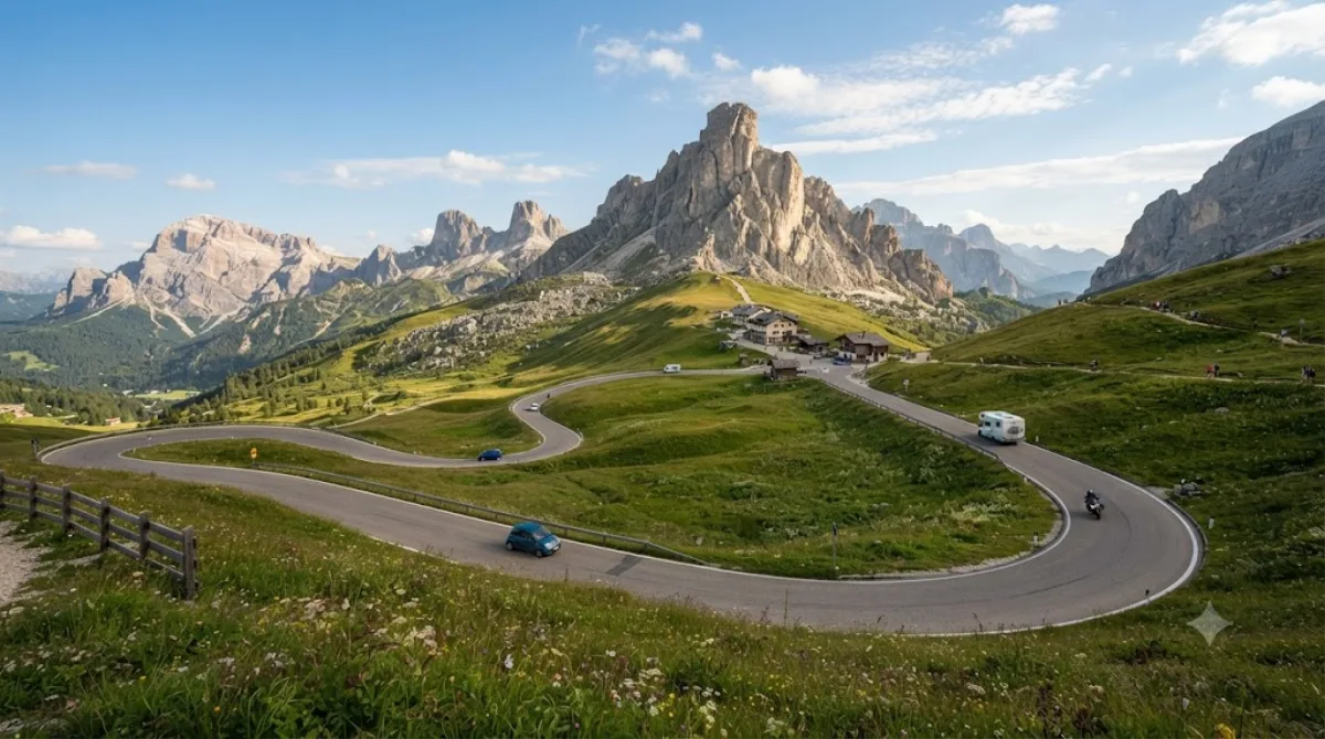
Der Campolongopass ist ein Pass in den Dolomiten zwischen dem Sella-Massiv und der Fanesgruppe in Italien. Er stellt die Verbindung zwischen Corvara und Arabba her.

What it is

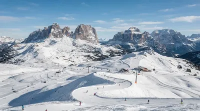
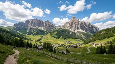
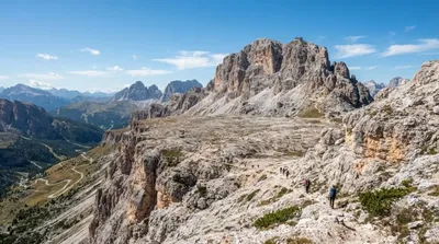
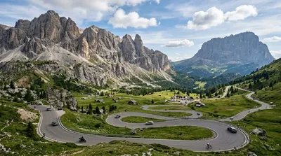
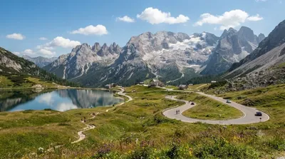
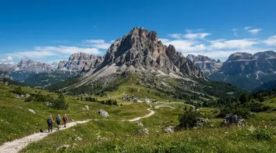
Campolongo Pass is a road pass at 1,875 m connecting the Alta Badia and Arabba areas of the Dolomites. There's no single monument to see here — the reason to stop is the setting: open alpine meadows ringed by rock faces, with views toward Sella, Marmolada and Lagazuoi depending on where you stand. It's as much a functional mountain crossing as a destination, used by drivers, cyclists and hikers moving between valleys.

Getting there

The pass sits on the road between Corvara (Alta Badia) and Arabba, a drive of roughly 15-20 minutes from either town. There's no city centre nearby in the usual sense — most visitors are already staying in one of the Dolomite valley towns and drive, cycle, or take a local bus up.

How much time to allow

Passing through takes only a few minutes. Allow half an hour to an hour if you want to stop, walk around the meadows, or take photos. If you plan to use it as a starting point for a hike or a lift up toward Piz Boè, budget several hours to a full day.

When to go

The road is only reliably open in the warmer months, since snow and ice close it in winter; check conditions before relying on it as a route. In summer, it's popular with road cyclists tackling the Sella Ronda loop, and traffic can back up in the middle of the day. Early morning is quieter for driving and for light on the surrounding peaks.

Combine it with

  • Piz Boè (3.7 km) — reachable via lift access from the pass area for higher-altitude views.
  • Alta Badia (3.7 km) — the valley area to base yourself in for lifts, trails and dining.
  • Gardena Pass (6 km) — another Sella Ronda pass, worth linking if you're already driving or cycling the loop.
  • Dolomiti Superski (3.6 km) area lifts — useful if you want to combine the pass with a cable car ascent nearby.

Quellen: offene Daten von Wikipedia und OpenStreetMap · Aktualisiert 5. August 2026 · Redaktion die World by City-Redaktion

Tickets & Touren

Eintrittspreise und Öffnungszeiten ändern sich häufig und stehen daher nicht hier. Unten sehen Sie, was gerade angeboten wird – vorab buchen spart mancherorts Wartezeit.

Dieser Ort erscheint womöglich nicht in den Ergebnissen – manche Ziele sind kostenlos oder verkaufen nur vor Ort.

Unterkünfte nahe Campolongopass

Nach Entfernung sortiert, fußläufige zuerst. Angaben als Luftlinie.

Karte © OpenStreetMap-Mitwirkende. Linien sind Luftlinien, keine echten Routen.

Campolongopass Unterkünfte in der Nähe

Lage und Namen stammen aus OpenStreetMap. Preise und Verfügbarkeit bitte auf den Buchungsseiten prüfen.

Passt gut dazu

Dolomiti Superski

Natur

Dolomiti Superski

Dolomiti Superski ist ein Verbund von zwölf Skigebieten in den Dolomiten, deren Skilifte und Pisten mit einem einzigen Skipass genutzt werden können. Der Sitz des im Jahr 1974 mit damals sechs Skigebieten vom Mailänder Rechtsanwalt Gianni Marzola gegründeten Konsortiums befindet sich in Runggaditsch in der Gemeinde Kastelruth (Südtirol). Während die ca. 130 Betreiber der Aufstiegsanlagen unternehmerisch unabhängig sind, agiert Dolomiti Superski als Koordinator: Buchung, Ticketverkauf und Marketing werden zentral gesteuert; die Erträge werden anschließend nach einem Verteilungsschlüssel, der de...

3.6 km entfernt

Alta Badia

Natur

Alta Badia

Alta Badia ist ein Tourismusverband im Süden des Gadertales in den Südtiroler Dolomiten (Italien). Es umfasst die mehrheitlich ladinischsprachigen Gemeinden Corvara, Abtei und Wengen.

3.7 km entfernt

Piz Boè

Natur

Piz Boè

Der Piz Boè ist mit 3152 Metern höchster Berg und einziger Dreitausender der Sellagruppe in den Dolomiten. Auf dem Gipfel treffen drei italienische Provinzen aufeinander: Südtirol, Belluno und das Trentino.

3.7 km entfernt

Grödner Joch

Natur

Grödner Joch

Das Grödner Joch ist ein 2121 m hoher Gebirgspass in den Dolomiten in Südtirol. Er verbindet Gröden mit dem Gadertal bzw. die Gemeinden Wolkenstein und Corvara.

6.0 km entfernt

Passo Fedaia

Natur

Passo Fedaia

Der Passo Fedaia oder auch Passo di Fedaia ist ein 2057 m s.l.m. hoher Alpenpass in der zu den Dolomiten zählenden Marmolatagruppe. Der Pass stellt die Verbindung zwischen Canazei im Fassatal und Rocca Pietore im Val Pettorina her.

7.1 km entfernt

Col di Lana

Natur

Col di Lana

Der Col di Lana ist ein 2462 m s.l.m. hoher Berg in der Fanesgruppe in den Dolomiten. Er liegt bei Livinallongo del Col di Lana in der Provinz Belluno (Italien).

8.1 km entfernt