自然
Campolongo Pass
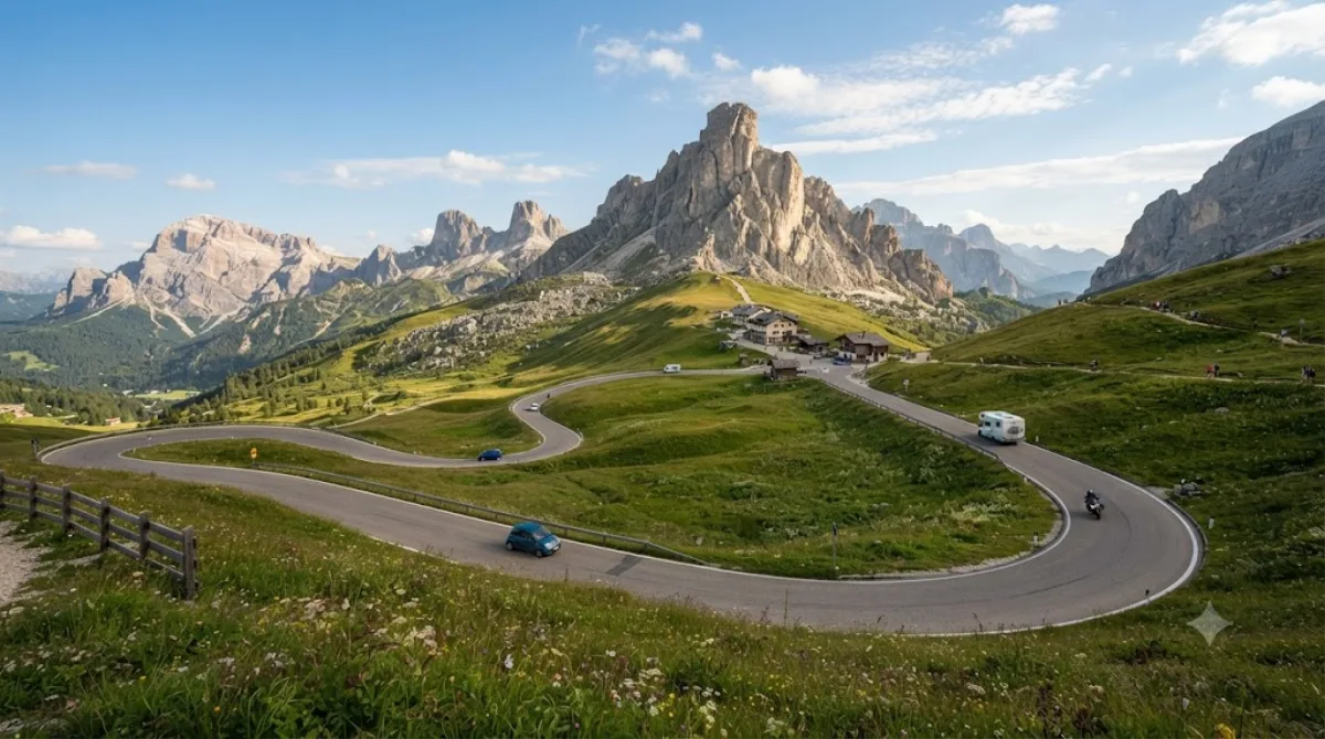
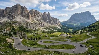
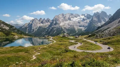
The Campolongo Pass (1875 m) is a high mountain pass in the Dolomites in South Tyrol in Italy.
What it is
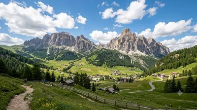
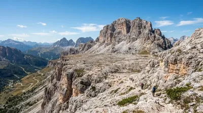
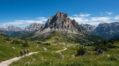
Campolongo Pass is a road pass at 1,875 m connecting the Alta Badia and Arabba areas of the Dolomites. There's no single monument to see here — the reason to stop is the setting: open alpine meadows ringed by rock faces, with views toward Sella, Marmolada and Lagazuoi depending on where you stand. It's as much a functional mountain crossing as a destination, used by drivers, cyclists and hikers moving between valleys.
Getting there
The pass sits on the road between Corvara (Alta Badia) and Arabba, a drive of roughly 15-20 minutes from either town. There's no city centre nearby in the usual sense — most visitors are already staying in one of the Dolomite valley towns and drive, cycle, or take a local bus up.
How much time to allow
Passing through takes only a few minutes. Allow half an hour to an hour if you want to stop, walk around the meadows, or take photos. If you plan to use it as a starting point for a hike or a lift up toward Piz Boè, budget several hours to a full day.
When to go
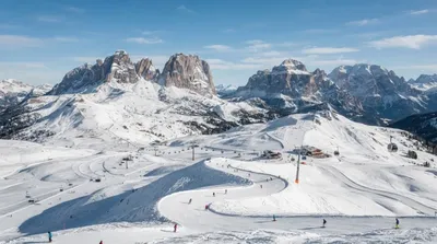
The road is only reliably open in the warmer months, since snow and ice close it in winter; check conditions before relying on it as a route. In summer, it's popular with road cyclists tackling the Sella Ronda loop, and traffic can back up in the middle of the day. Early morning is quieter for driving and for light on the surrounding peaks.
Combine it with
- Piz Boè (3.7 km) — reachable via lift access from the pass area for higher-altitude views.
- Alta Badia (3.7 km) — the valley area to base yourself in for lifts, trails and dining.
- Gardena Pass (6 km) — another Sella Ronda pass, worth linking if you're already driving or cycling the loop.
- Dolomiti Superski (3.6 km) area lifts — useful if you want to combine the pass with a cable car ascent nearby.
出典:ウィキペディア・OpenStreetMap の公開データ · 2026年8月5日 更新 · 編集 World by City 編集部