World by City

自然

ピッツ・ボエ

Piz Boè

ピッツ・ボエ

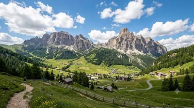
Piz Boè is the highest mountain of the Sella group, a mountain range in the Dolomites, Italy. It has an elevation of 3,152 metres (10,341 ft).

Piz Boè

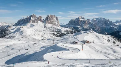
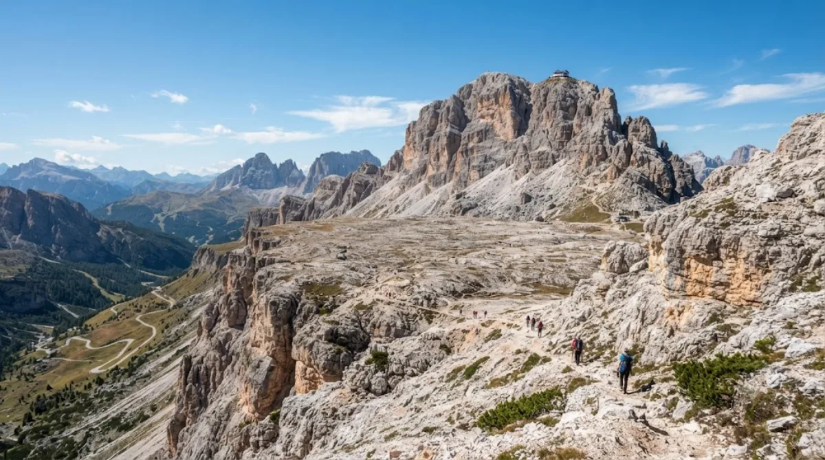
Piz Boè is the highest summit of the Sella group, reaching 3,152 metres. Travellers go up for the panorama over the surrounding Dolomite groups and for the summit ridge itself, which sits above a broad plateau rather than a sharp peak, making it walkable rather than a technical climb once you're off the lift.

Getting there

Most visitors reach the upper mountain by cable car from Passo Pordoi (Sass Pordoi) or by chairlift from the Corvara/Colfosco side, both part of the Sella Ronda lift network. From the top lift station, the summit is reached on foot along a marked path across the plateau, roughly 45 minutes to an hour each way depending on fitness and snow conditions.

Time to allow

Plan for at least half a day once you include the lift ride, the walk to and from the summit, and time at the top. Add extra time if you plan to stop at the mountain hut near the summit area.

When to go

The lifts and paths are geared toward the summer hiking season and the winter ski season, with reduced service in spring and autumn. Clear mornings generally give the best visibility before afternoon cloud builds up, and the area gets busy on fine summer weekends and throughout the ski season.

Combine with

  • Dolomiti Superski (0.9km) – the lift network serving Piz Boè and the wider Sella Ronda circuit.
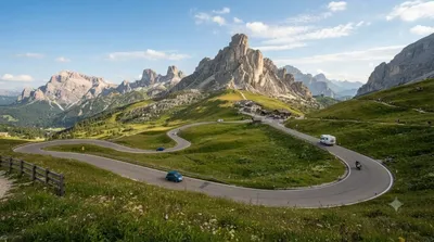
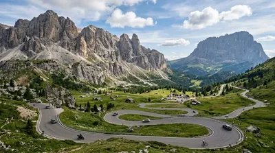
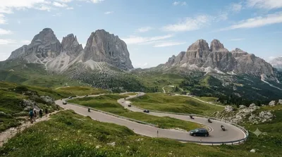
  • Campolongo Pass (3.7km), Gardena Pass (4.7km) and Sella Pass (5.4km) – mountain passes that together form the Sella Ronda loop, worth combining into one scenic drive or ski/bike circuit.

出典:ウィキペディア・OpenStreetMap の公開データ · 2026年8月5日 更新 · 編集 World by City 編集部

チケット・ツアー予約

入場料や営業時間は変わりやすいためここには載せていません。下で現在販売中のチケットと価格をご確認ください。事前購入で待ち時間を減らせる場所もあります。

検索結果にこの場所のチケットがない場合もあります。入場無料、または現地販売のみの施設もあります。

ピッツ・ボエ 周辺の宿

歩いて行ける距離から近い順に並べています。距離は直線距離です。

地図 © OpenStreetMap 寄稿者。直線でつないでいるため実際の経路とは異なります。

ピッツ・ボエ 周辺の宿

宿の位置と名称は OpenStreetMap のデータに基づきます。価格と空室は各予約サイトでご確認ください。

あわせて訪れたい場所

Dolomiti Superski

自然

Dolomiti Superski

The Dolomiti Superski is a ski area in Italy. Created in 1974, it is spread over an area of about 3,000 km2 in the North-East of Italy, and includes most of the winter ski slopes of the Dolomites. Comprising 12 ski resorts and a total of 1,246 km of slopes, it is the largest ski area in the world. It regularly hosts World Cup alpine skiing and snowboarding races.

ここから 0.9 km

Campolongo Pass

自然

Campolongo Pass

The Campolongo Pass (1875 m) is a high mountain pass in the Dolomites in South Tyrol in Italy.

ここから 3.7 km

ガルデナ峠

自然

ガルデナ峠

Gardena Pass is a high mountain pass in the Dolomites of the South Tyrol in northeast Italy.

ここから 4.7 km

Sella Pass

自然

Sella Pass

The Sella Pass (2218 m) is a high mountain pass between the provinces of Trentino and South Tyrol in Italy.

ここから 5.4 km

アルタ・バディア

自然

アルタ・バディア

Alta Badia is a ski resort in the Dolomites of northern Italy, in the upper part of the Val Badia in South Tyrol. It is part of the Dolomiti Superski ski area. It is included in the territories of the municipalities of Corvara, Badia, and La Val. Centered on Corvara, the extended area's lift-served summit elevation is 2,550 m (8,366 ft) on the Sella group, with an overall vertical drop of 1,226 m (4,022 ft) to Pedraces. The native language of the majority of the locals is Ladin.

ここから 5.9 km

フェダイア峠

自然

フェダイア峠

The Fedaia Pass is a mountain pass traversed by a paved road in the Dolomiti Range in Northern Italy. It lies at the northern base of the Marmolada, the highest peak in the region and the Dolomiti. It is known for its beauty, for Lago Fedaia, and for its use in the Giro d'Italia. It was also used as a location for the 2003 film Italian Job. It is the site of the Fedaia Pass and Marmolada Gletscher ski areas.

ここから 7.1 km