Nature
Piz Boè
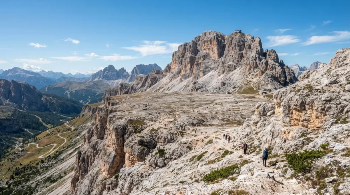
Piz Boè
Piz Boè is the highest summit of the Sella group, reaching 3,152 metres. Travellers go up for the panorama over the surrounding Dolomite groups and for the summit ridge itself, which sits above a broad plateau rather than a sharp peak, making it walkable rather than a technical climb once you're off the lift.
Getting there
Most visitors reach the upper mountain by cable car from Passo Pordoi (Sass Pordoi) or by chairlift from the Corvara/Colfosco side, both part of the Sella Ronda lift network. From the top lift station, the summit is reached on foot along a marked path across the plateau, roughly 45 minutes to an hour each way depending on fitness and snow conditions.
Time to allow
Plan for at least half a day once you include the lift ride, the walk to and from the summit, and time at the top. Add extra time if you plan to stop at the mountain hut near the summit area.
When to go
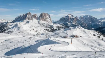
The lifts and paths are geared toward the summer hiking season and the winter ski season, with reduced service in spring and autumn. Clear mornings generally give the best visibility before afternoon cloud builds up, and the area gets busy on fine summer weekends and throughout the ski season.
Combine with
- Dolomiti Superski (0.9km) – the lift network serving Piz Boè and the wider Sella Ronda circuit.
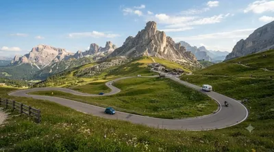
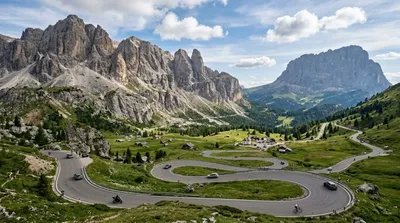
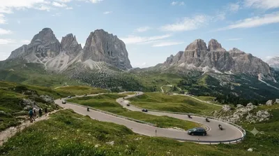
- Campolongo Pass (3.7km), Gardena Pass (4.7km) and Sella Pass (5.4km) – mountain passes that together form the Sella Ronda loop, worth combining into one scenic drive or ski/bike circuit.
Updated September 20, 2026 · Edited by the World by City editors
 GetYourGuide
 Klook
Klook
 Tiqets
 KKday
KKday
 WeGoTrip
 Booking.com
 Hotels.com