Nature
Sella Pass
What it is
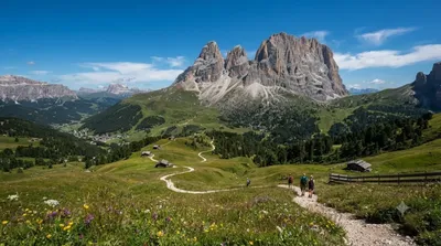
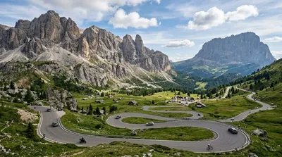
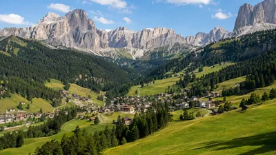
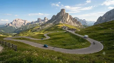
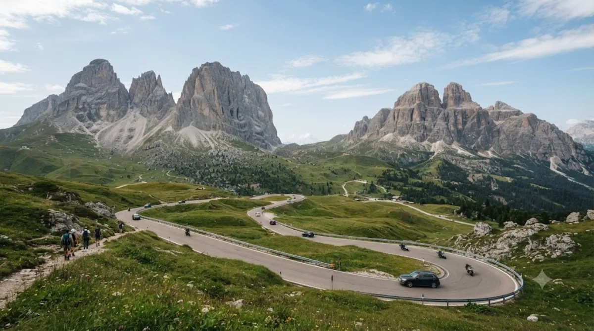
The Sella Pass is a road pass at 2,218 m connecting Trentino and South Tyrol, running between the Sella and Sassolungo massifs in the Dolomites. Travellers go for the surrounding rock walls, which rise directly from the roadside, and for the viewpoints along the switchbacks. It's one of the four passes forming the Sella Ronda loop popular with cyclists and, in winter, skiers.
Getting there
The pass isn't reached from a single city centre but connects valley towns such as Canazei, Corvara, and Selva di Val Gardena via the SS242 road. Driving up from any of these valley towns typically takes 20–30 minutes, more in summer traffic or winter snow conditions. There's no city base for this attraction — it's accessed by car, bus, or bike from whichever Dolomites village you're staying in.
Time to allow
A stop at the pass itself takes 20–30 minutes for photos and the view. If combining with a walk toward Piz Boè or a full loop of the Sella Ronda by car or bike, allow half a day or more.
When to go
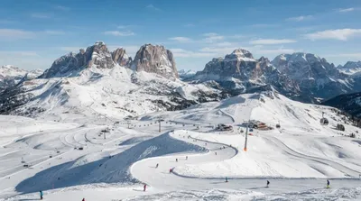
The road is typically only open in the warmer months, as snow closes it in winter (winter access to the area is via ski lifts and slopes, not the pass road itself). Summer midday sees heavy traffic from cyclists, motorbikes, and the Sella Ronda circuit, so early morning is quieter for driving or cycling. Weather at this altitude changes quickly, so check conditions before heading up.
Combine it with
- Saslonch (2.6 km) — a nearby rock formation, easily paired with a stop at the pass.
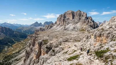
- Piz Boè (5.4 km) — a higher peak reachable by trail or lift for those extending into a hike.
- Dolomiti Superski (5.5 km) — the ski network covering this area, relevant for winter trip planning.
- Gardena Pass (6.3 km) — another pass on the same Sella Ronda circuit, easily linked by road.
Updated September 20, 2026 · Edited by the World by City editors
 GetYourGuide
 Klook
Klook
 Tiqets
 KKday
KKday
 WeGoTrip
 Booking.com
 Hotels.com