Natur
Passo Fedaia
Passo Fedaia
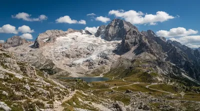
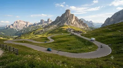
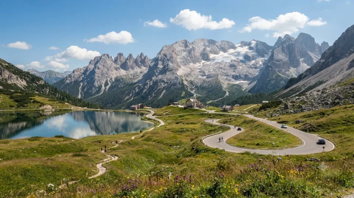
Der Passo Fedaia ist ein asphaltierter Gebirgspass in den nördlichen Dolomiten, der direkt unterhalb der Marmolada, dem höchsten Gipfel der Region, verläuft. Besucher kommen hierher, um den Lago di Fedaia zu sehen, einen künstlichen Stausee, der einen direkten Blick auf den Marmolada-Gletscher und die umliegenden Felswände bietet. Die Strecke ist zudem als Etappe des Giro d'Italia bekannt und diente als Drehort für den Film „The Italian Job“ aus dem Jahr 2003.
Anreise und Dauer
Die Anreise erfolgt in der Regel mit dem Auto oder dem Fahrrad von den umliegenden Orten der Dolomiten. Da der Pass in einer abgelegenen Bergregion liegt, gibt es kein klassisches Stadtzentrum als Ausgangspunkt; die Fahrzeit hängt stark vom gewählten Tal ab. Vor Ort sollten Besucher etwa zwei bis vier Stunden einplanen, je nachdem, ob nur eine kurze Rast am See oder eine Wanderung vorgesehen ist.
Beste Reisezeit
Der Pass ist aufgrund der Höhenlage primär in den Sommermonaten und im frühen Herbst zugänglich, da er im Winter oft schneebedeckt und für den normalen Verkehr gesperrt ist. In der Hochsaison kann es an den Parkplätzen am Lago di Fedaia eng werden.
Kombinationsmöglichkeiten
In der näheren Umgebung befinden sich weitere Ziele, die mit dem Pass kombiniert werden können:
- Marmolada-Gletscher: 2,4 km
- Campolongo-Pass: 7,1 km
- Piz Boè: 7,1 km
- Col di Lana: 7,8 km
Aktualisiert 20. September 2026 · Redaktion die World by City-Redaktion
 GetYourGuide
 Klook
Klook
 Tiqets
 KKday
KKday
 WeGoTrip
 Booking.com
 Hotels.com