Natur
Marmolata-Gletscher
Marmolada Glacier
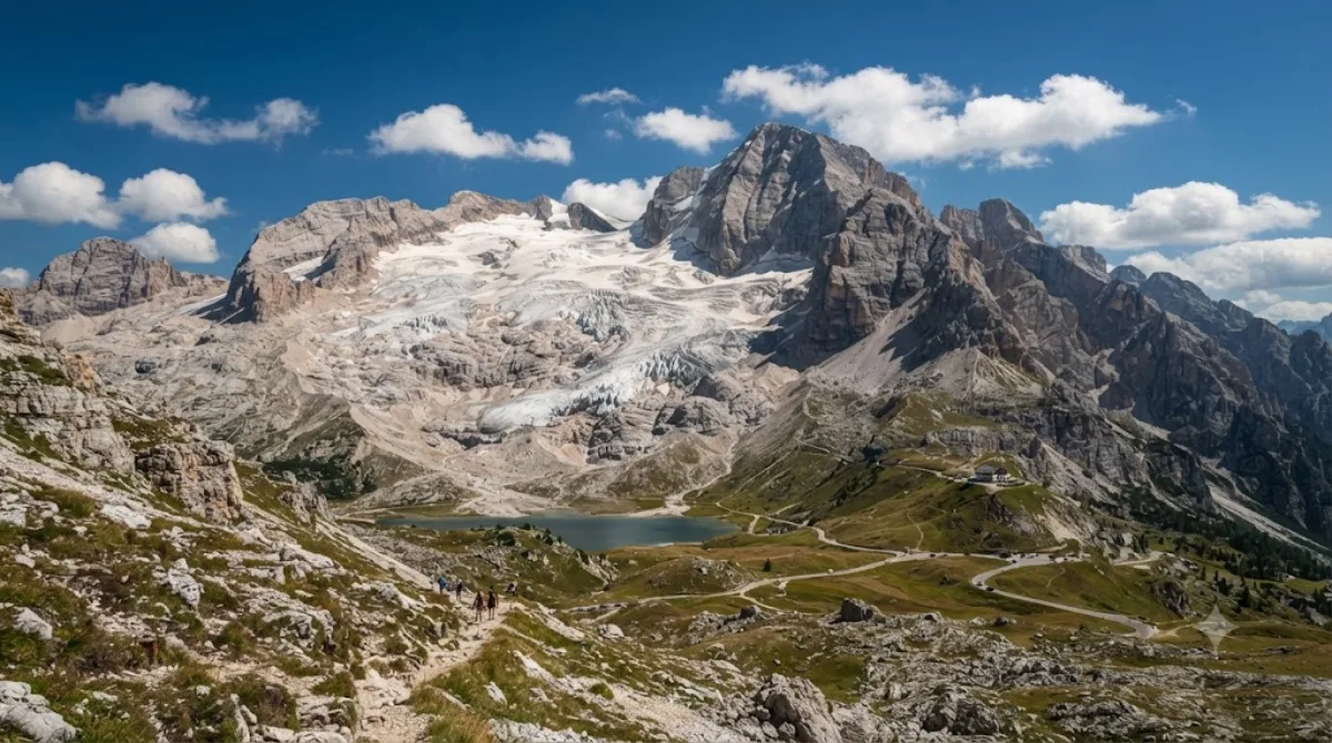
Der Marmolada-Gletscher
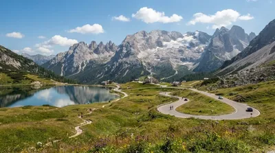
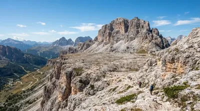
Der Marmolada-Gletscher befindet sich in der Provinz Belluno in den italienischen Dolomiten. Er ist eine hochalpine Gletscherlandschaft, die durch das Zusammenspiel von Eisflächen und steilen Felswänden geprägt ist. Besucher kommen hierher, um die schneebedeckten Gipfel zu sehen, auf Wanderwegen unterhalb des Gletschers zu laufen oder Aussichtspunkte zu nutzen.
Anreise und Zeitplanung
Die Anreise erfolgt in der Regel mit dem Auto oder lokalen Busverbindungen aus den umliegenden Ortschaften der Dolomiten. Da der Gletscher in einem Hochgebirgsgebiet liegt, ist die Fahrzeit abhängig vom Startpunkt in der Region; von den nächstgelegenen Tälern aus dauert die Fahrt meist zwischen 30 und 60 Minuten. Für den Besuch vor Ort, einschließlich Wanderungen oder dem Aufstieg zu den Aussichtspunkten, sollte ein Zeitfenster von etwa 4 bis 6 Stunden eingeplant werden.
Beste Reisezeit
Die Region ist im Sommer für Wanderungen zugänglich, während sie im Winter ein Ziel für Wintersportler ist. In der Hauptsaison, insbesondere im Juli und August, ist mit einem hohen Besucheraufkommen zu rechnen. Es wird empfohlen, die Aussichtspunkte in den frühen Morgenstunden aufzusuchen, um Menschenmengen zu vermeiden.
Kombinationsmöglichkeiten
Aufgrund der Lage lassen sich weitere Ziele in der Umgebung integrieren:
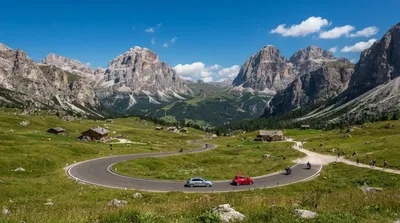
- Passo Fedaia (2,4 km): Ein nahegelegener Gebirgspass.
- Piz Boè (8,2 km): Ein weiterer markanter Gipfel der Region.
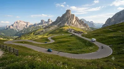
- San Pellegrino Pass (8,6 km): Ein Pass mit Panoramablick.
- Campolongo Pass (9 km): Eine weitere Verbindung zwischen den Tälern.
Aktualisiert 20. September 2026 · Redaktion die World by City-Redaktion
 GetYourGuide
 Klook
Klook
 Tiqets
 KKday
KKday
 WeGoTrip
 Booking.com
 Hotels.com