Natur
Cinque Torri
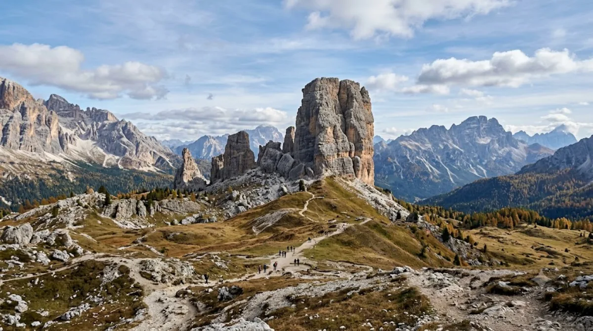
Die Cinque Torri
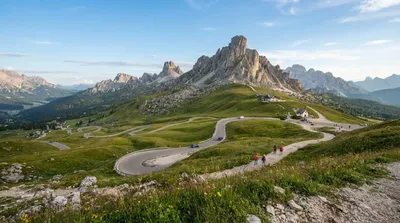
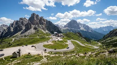
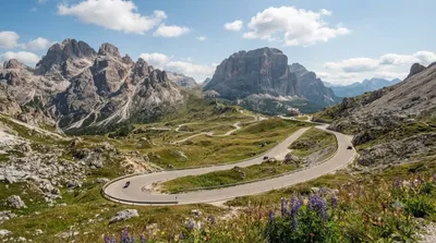
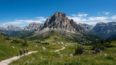
Die Cinque Torri sind eine Gruppe von markanten Felstürmen in den Dolomiti Ampezzane, südwestlich von Cortina d'Ampezzo. Besucher kommen hierher, um die geologischen Formationen der Nuvolau-Gruppe zu erkunden und die umliegenden Wanderwege zu begehen.
Anreise und Dauer
Die Formationen sind am besten mit dem Auto oder dem Bus von Cortina d'Ampezzo aus erreichbar. Die Fahrtzeit beträgt je nach Verkehrslage etwa 20 bis 30 Minuten. Vor Ort sollten Besucher etwa 3 bis 5 Stunden einplanen, um die Felsen zu umrunden und die Wege in der unmittelbaren Umgebung zu erkunden.
Beste Reisezeit
Die Region ist in den Sommermonaten und im frühen Herbst für Wanderungen zugänglich. Im Winter ist das Gebiet primär für Skifahrer und Schneeschuhwanderer relevant. In der Hochsaison, insbesondere an Wochenenden und Feiertagen, ist an den Hauptzugängen mit einem hohen Besucheraufkommen zu rechnen.
Kombinationsmöglichkeiten
Aufgrund der zentralen Lage lassen sich weitere Sehenswürdigkeiten in der Umgebung integrieren:
- Passo Giau: 2,8 km entfernt
- Passo Falzarego: 3,6 km entfernt
- Lagazuoi Piccolo: 4,5 km entfernt
- Passo Valparola: 4,7 km entfernt
Logistik
Für die Anreise aus dem Ausland sind der Flughafen Venedig Marco Polo (VCE) und der Flughafen Innsbruck (INN) die nächstgelegenen Optionen.
Aktualisiert 20. September 2026 · Redaktion die World by City-Redaktion
 GetYourGuide
 Klook
Klook
 Tiqets
 KKday
KKday
 WeGoTrip
 Booking.com
 Hotels.com