Natur
Monte Pelmo
Charakter und Wanderwege
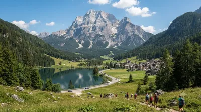
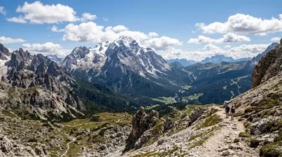
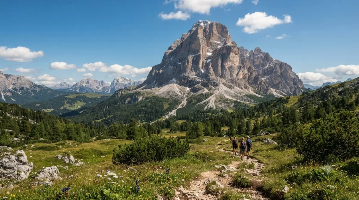
Der Monte Pelmo ist ein Berggipfel in den Dolomiten in der Provinz Belluno. Da das Massiv abseits der angrenzenden Kämme aufragt, besitzt es eine markante, aus allen Richtungen sichtbare Silhouette. Die meisten Reisenden kommen nicht zum Klettern, sondern wandern auf den Wegen am Bergfuß, um die Felswände aus nächster Nähe zu sehen.
Anreise und Zeitaufwand
Vom Zentrum naher Talorte wie Cortina d’Ampezzo dauert die Fahrt zu Ausgangspunkten wie dem Passo Staulanza etwa 30 bis 50 Minuten. Überregionale Zielflughäfen sind Venedig Marco Polo (VCE) und Innsbruck (INN). Für Rundwege am Bergfuß oder zu Schutzhütten vor Ort sollten Sie 4 bis 6 Stunden einplanen.
Jahreszeit und Bedingungen
Wanderungen eignen sich für die schneefreien Monate von Ende Juni bis Anfang Oktober. Am Vormittag sind die Sichtverhältnisse meist klarer, während am Sommernachmittag häufig Gewitter aufziehen. In den Hauptsommermonaten Juli und August sind Wege und Parkplätze oft voll; ein früher Start ist ratsam.
Ziele in der Umgebung
Folgende Ziele lassen sich in der Region kombinieren:
- Monte Civetta: 7,6 km
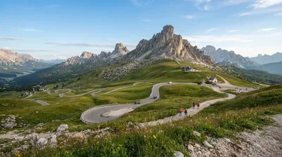
- Giaupass: 9,5 km
- Antelao: 10,4 km
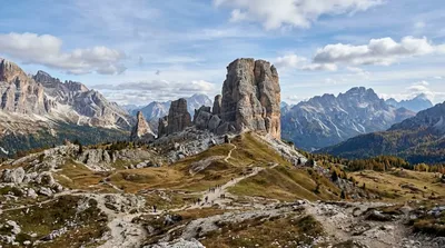
- Cinque Torri: 11,6 km
Aktualisiert 20. September 2026 · Redaktion die World by City-Redaktion
 GetYourGuide
 Klook
Klook
 Tiqets
 KKday
KKday
 WeGoTrip
 Booking.com
 Hotels.com