自然
Valparola Pass
The Valparola Pass is a high mountain pass in the Dolomites in the province of Belluno in Italy.
What it is
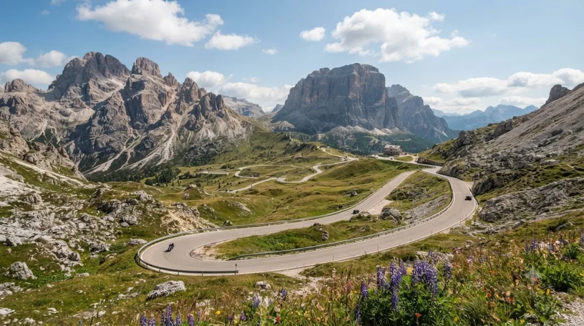
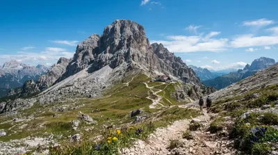
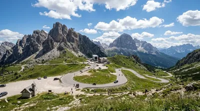
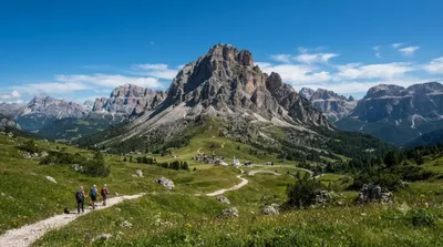
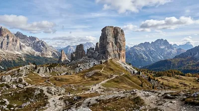
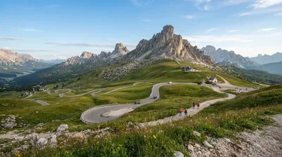
Valparola Pass is a high mountain pass in the Dolomites, on the border between the province of Belluno and South Tyrol. It sits in open, rocky terrain above the tree line, with views across to the Fanes-Sennes-Braies group and the Lagazuoi massif. The area saw fighting during World War I, and remnants of that history — fortifications and trail markers — are visible around the pass and on nearby slopes.
Getting there
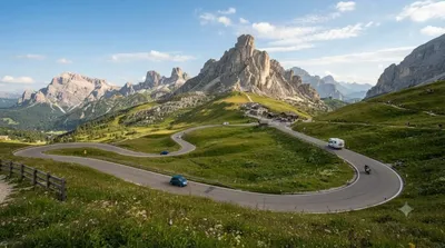
The pass is reached by road (SR48), most commonly as a continuation from Falzarego Pass, about 1.2 km away. From a base like Cortina d'Ampezzo, driving up takes roughly 30-40 minutes depending on the starting point and traffic. There's no direct rail or bus link to the summit; a car, organized transfer, or cycling are the practical options.
How much time to allow
A stop just for the views and a short walk around the pass takes 30-60 minutes. If you plan to hike further into the surrounding area or visit the war-era sites, allow at least half a day.
When to go
The pass is only accessible in the warmer months, as snow closes the road for much of the year. Roads and paths here are narrow and winding, and traffic can back up in summer, particularly around midday when tour groups and cyclists are out in numbers. Early morning offers quieter roads and clearer light for photos.
Combine with
- Falzarego Pass (1.2 km) – the adjoining pass, often visited together with Valparola.
- Lagazuoi Piccolo (0.7 km) – a short distance away, with cable car access and WWI tunnel routes.
- Col di Lana (4.4 km) – another WWI battle site, for those interested in the region's wartime history.
- Cinque Torri (4.7 km) – rock towers with open-air war museum trails, a natural extension for a day exploring this stretch of the Dolomites.
出典:ウィキペディア・OpenStreetMap の公開データ · 2026年8月5日 更新 · 編集 World by City 編集部