自然
ドラーヴァ川
Drava
ドラーヴァ川、ドラーバ川 またはドラウ川 は、ヨーロッパ南部を流れる川である。古称はドラブス川(Dravus)。カルニッシュ・アルプス山脈に属するイタリアの南チロル地方のドッビアーコ付近に源泉を発し、東側の東チロルからオーストリアのケルンテン州を通ってスロヴェニアに至る。南東部ではクロアチアを抜けてクロアチアとハンガリーの国境沿いを流れた後オシエクでドナウ川に注ぐ。全長は719km。
What it is
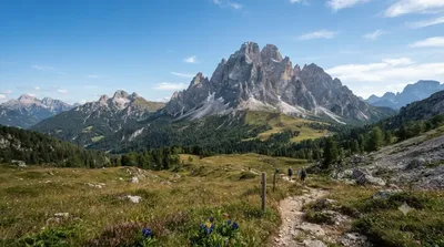
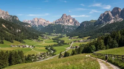
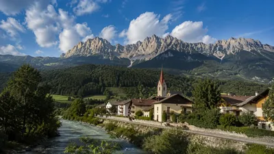
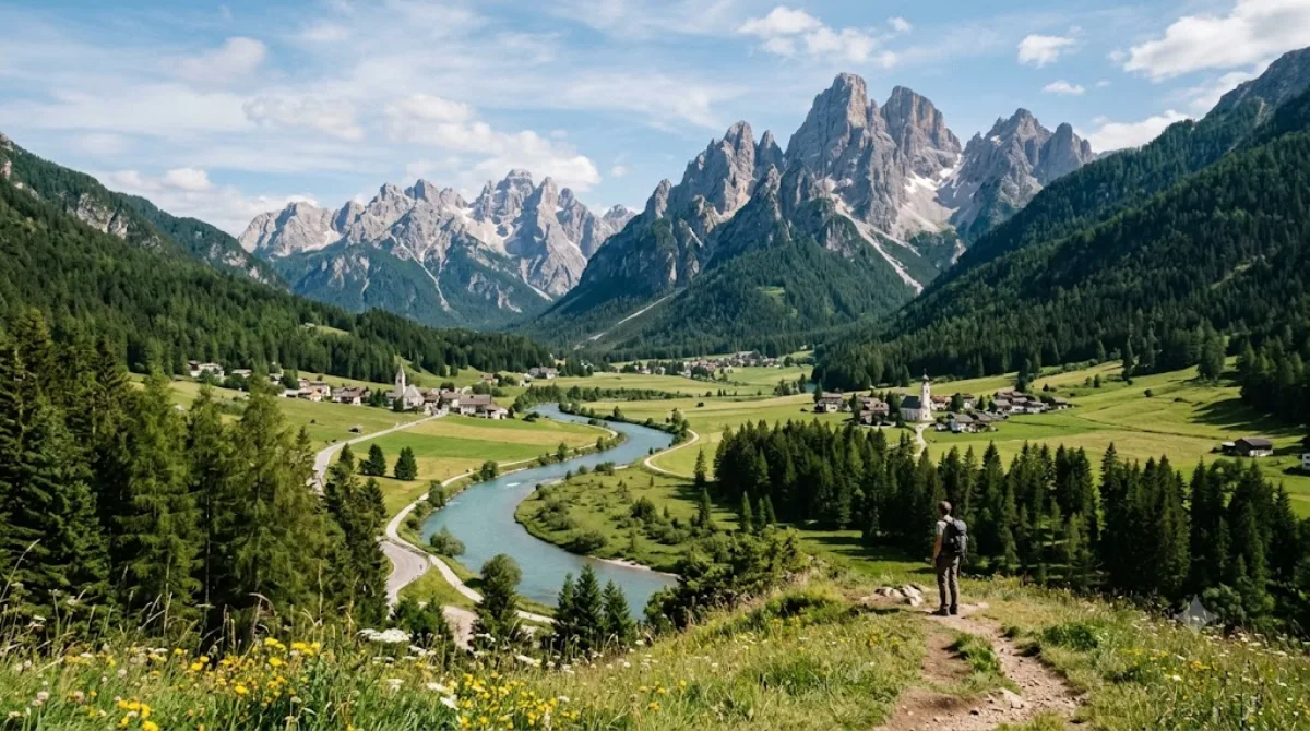
The Drava is a major river of the eastern Alps, and near the Dolomites you're seeing it right at its source area: it rises close to Innichen (San Candido) in the Puster Valley of South Tyrol before flowing east through Austria toward the Danube. This upper stretch is a modest alpine river rather than the broad waterway it becomes further downstream — worth a stop for a walk along the water and the valley scenery, not for river sports or dramatic gorges.
Getting there
Access is via Innichen/San Candido in the Puster Valley. There's no single "city centre" for this natural feature — it runs alongside the valley's towns and cycle paths, so you'll typically reach a stretch of it by car or bike rather than heading to one fixed point.
Time to allow
A short stop of 30–60 minutes is enough to see the river and its immediate surroundings, longer if you're walking or cycling a section of the valley path alongside it.
When to go
Morning or late afternoon light suits photos along the water. Summer is the busiest season in the Puster Valley generally, as it's peak hiking and cycling time; spring meltwater can make the river fuller and faster.
Combine with
- Puster Valley (9.1km) — the wider valley the river runs through, with towns and the long-distance cycle path.
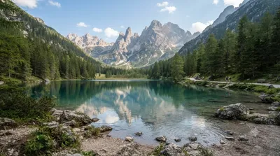
- Dürrensee (10.4km) — a lake worth pairing with a river stop for a half-day of easy walking.
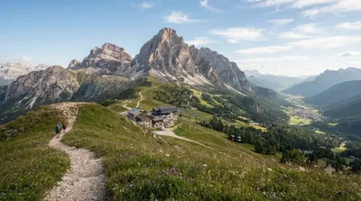
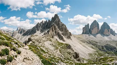
- Dreischusterspitze (7.7km) and Helm (10.3km) — for those wanting a mountain view or hike to round out the day.
出典:ウィキペディア・OpenStreetMap の公開データ · 2026年8月5日 更新 · 編集 World by City 編集部