World by City

自然

プステリア渓谷

Puster Valley
プステリア渓谷

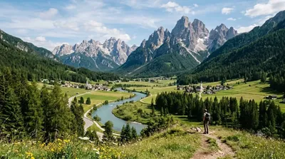
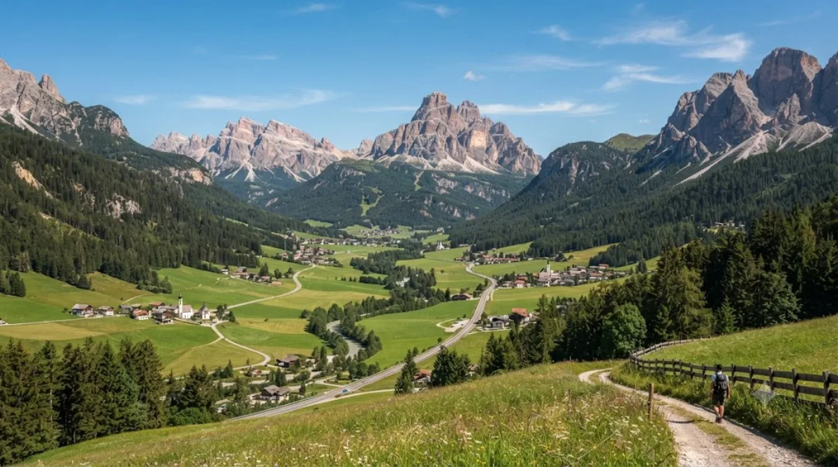
The Puster Valley is one of the largest longitudinal valleys in the Alps that runs in an east-west direction between Lienz in East Tyrol, Austria, and Mühlbach near Brixen in South Tyrol, Italy. The South Tyrolean municipalities of the Puster Valley constitute the Puster Valley district.

What it is

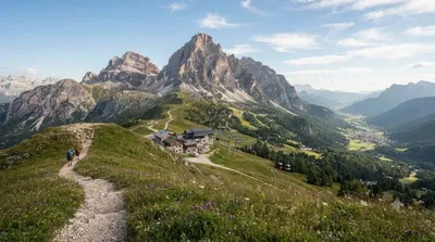
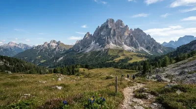
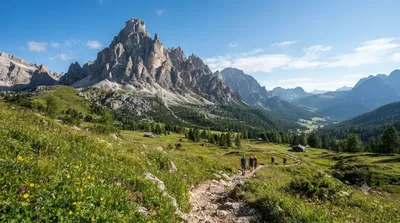
The Puster Valley is a long east-west valley cutting through the Dolomites, running roughly from Lienz in Austria's East Tyrol to Mühlbach near Brixen in South Tyrol. Unlike the sharp, jagged side valleys, this main corridor is broad and gentle, making it more of a base and transit route than a single sight. Travellers come for the open, pastoral scenery, the string of villages along the valley floor, and access to the steeper Dolomite peaks and side valleys branching off it.

Getting there

The valley is reached along its main road and rail line (the Puster Valley Railway connects Lienz, Innichen, Bruneck and on to Brixen). From any village in the valley, getting to the valley floor itself takes no time at all — you're already in it — but reaching specific viewpoints or side trails typically means a short drive or train ride between towns, generally 15–40 minutes depending on the stretch.

Time to allow

Because the valley is long and made up of many separate villages and trailheads rather than one site, plan on this as a multi-day base rather than a single stop. A short drive-through with photo stops can be done in an hour or two; exploring a stretch properly, with walks or village visits, is easily a half or full day.

When to go

Summer and early autumn are the main hiking seasons, with the valley floor accessible even when higher peaks are snowbound; winter turns the surrounding slopes into ski terrain. Traffic along the valley road can build up on summer weekends and during ski season weekends, so weekday travel is more relaxed.

Combine it with

  • Helm (3.1km) — a nearby peak reachable as a short excursion from the valley floor
  • Dreischusterspitze (8.5km) — one of the higher summits visible from this part of the valley
  • Drava (9.1km) — the river tracing much of the valley's course
  • Elferkofel (11.6km) — another Dolomite peak worth combining with a base stay here

出典:ウィキペディア・OpenStreetMap の公開データ · 2026年8月5日 更新 · 編集 World by City 編集部

チケット・ツアー予約

入場料や営業時間は変わりやすいためここには載せていません。下で現在販売中のチケットと価格をご確認ください。事前購入で待ち時間を減らせる場所もあります。

検索結果にこの場所のチケットがない場合もあります。入場無料、または現地販売のみの施設もあります。

プステリア渓谷 周辺の宿

歩いて行ける距離から近い順に並べています。距離は直線距離です。

地図 © OpenStreetMap 寄稿者。直線でつないでいるため実際の経路とは異なります。

プステリア渓谷 周辺の宿

宿の位置と名称は OpenStreetMap のデータに基づきます。価格と空室は各予約サイトでご確認ください。

あわせて訪れたい場所

Helm

自然

Helm

The Helm is a mountain in the Puster Valley in South Tyrol, Italy.

ここから 3.1 km

Dreischusterspitze

自然

Dreischusterspitze

The Dreischusterspitze is a mountain of the Dolomites in South Tyrol, Italy. It is the highest peak of the Sexten Dolomites and the most northerly 3,000m peak of the range. From the north it resembles a majestic pyramid, while from the east and west it resembles a jagged ridge. The mountain is located above the village of Sexten. It was first climbed in 1869 by Paul Grohmann, Franz Innerkofler and Peter Salcher.

ここから 8.5 km

ドラーヴァ川

自然

ドラーヴァ川

ドラーヴァ川、ドラーバ川 またはドラウ川 は、ヨーロッパ南部を流れる川である。古称はドラブス川(Dravus)。カルニッシュ・アルプス山脈に属するイタリアの南チロル地方のドッビアーコ付近に源泉を発し、東側の東チロルからオーストリアのケルンテン州を通ってスロヴェニアに至る。南東部ではクロアチアを抜けてクロアチアとハンガリーの国境沿いを流れた後オシエクでドナウ川に注ぐ。全長は719km。

ここから 9.1 km

Elferkofel

自然

Elferkofel

The Cima Undici - Elferkofel is a mountain in the Sexten Dolomites in South Tyrol, Italy.

ここから 11.6 km

モンテ・パテルノ

自然

モンテ・パテルノ

The Paterno is a mountain in the Dolomites on the border between South Tyrol and the Province of Belluno, Italy.

ここから 12.9 km

リエンツァ川

自然

リエンツァ川

リエンツァ川 は、イタリアのアルト・アディジェを流れる全長約90kmの川である。

ここから 13.0 km