Natur
Pustertal
Puster Valley
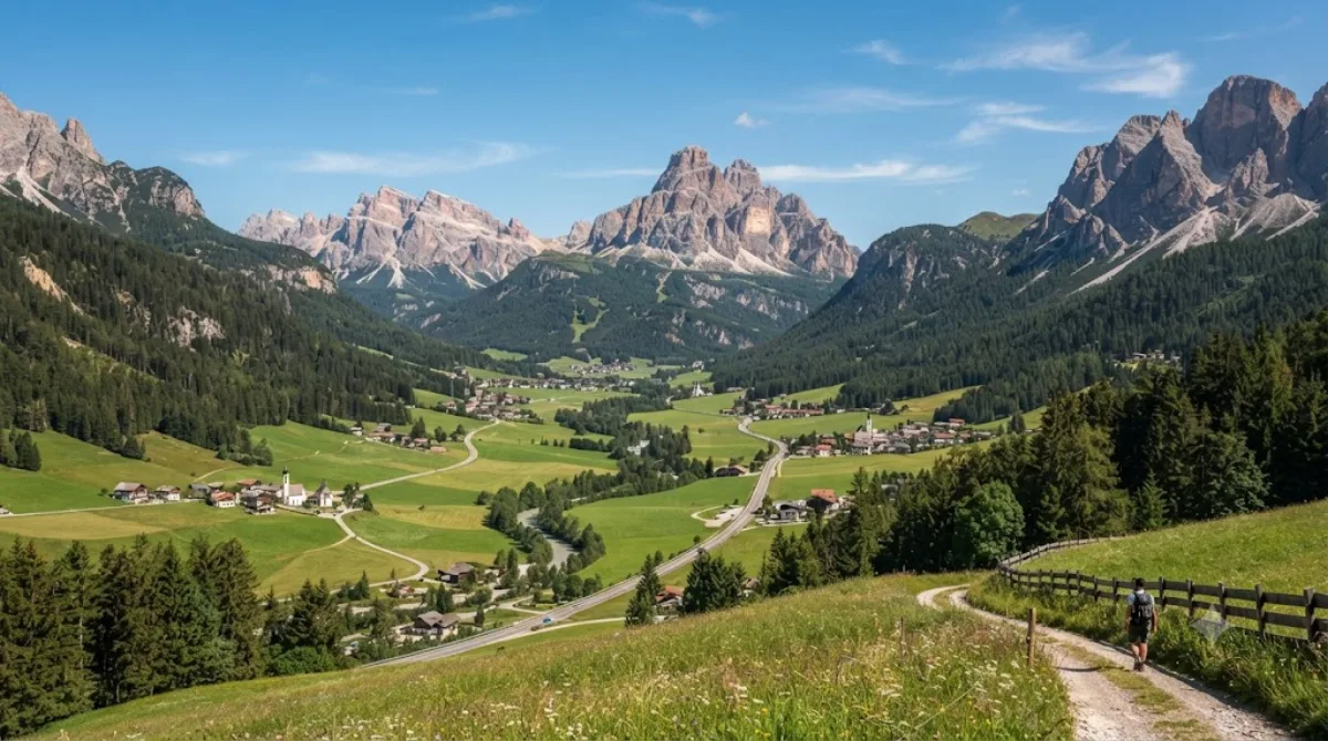
Das Pustertal
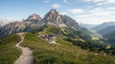
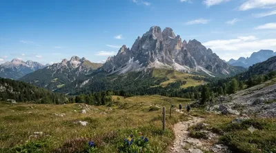
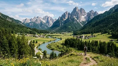
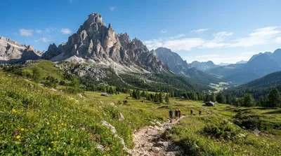
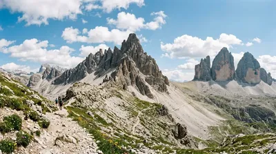
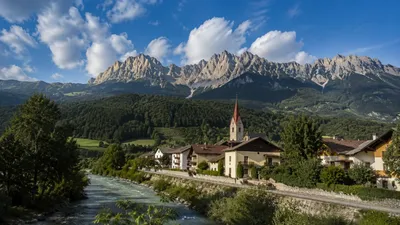
Das Pustertal ist eines der längsten Längstäler der Alpen und erstreckt sich von Lienz in Osttirol, Österreich, bis nach Mühlbach bei Brixen in Südtirol, Italien. Die Region ist durch kleine Dörfer und die flankierenden Gebirgsketten der Dolomiten geprägt. Reisende nutzen das Tal primär als landschaftliche Route für Fahrten mit dem Auto oder dem Fahrrad.
Anreise und Dauer
Die Erreichbarkeit hängt vom gewählten Startpunkt ab, da sich das Tal über eine weite Strecke erstreckt. Von den nächstgelegenen größeren Zentren wie Brixen oder Lienz aus ist das Tal direkt über die Hauptverkehrsstraßen zugänglich. Die Fahrtzeit variiert je nach Zielort innerhalb des Tals erheblich.
Aufgrund der Länge des Tals und der Vielzahl an Ortschaften sollte man für eine Durchquerung oder Erkundung mehrerer Abschnitte mindestens ein bis zwei Tage einplanen.
Beste Reisezeit
Das Tal ist ganzjährig zugänglich. Die Sommermonate eignen sich für Radtouren und Wanderungen, während der Winter für Wintersport genutzt wird. In der Hauptsaison, insbesondere während der Sommer- und Winterferien, ist mit einem erhöhten Verkehrsaufkommen und volleren Unterkünften zu rechnen.
Kombinationsmöglichkeiten
In der Umgebung befinden sich verschiedene Naturziele, die mit dem Besuch des Tals kombiniert werden können:
- Helm (3,1 km)
- Dreischusterspitze (8,5 km)
- Drava (9,1 km)
- Elferkofel (11,6 km)
Aktualisiert 20. September 2026 · Redaktion die World by City-Redaktion
 GetYourGuide
 Klook
Klook
 Tiqets
 KKday
KKday
 WeGoTrip
 Booking.com
 Hotels.com