World by City

Nature

Puster Valley
Puster Valley

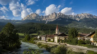
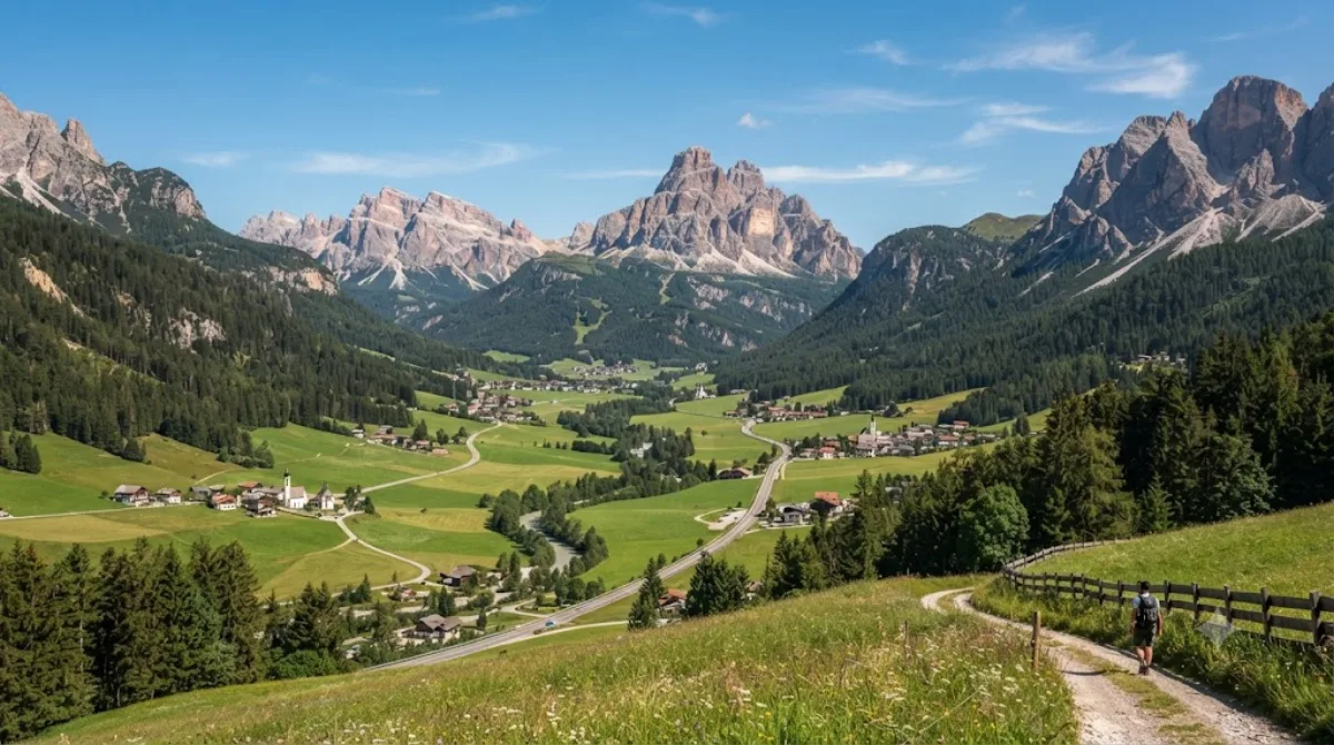
The Puster Valley is one of the largest longitudinal valleys in the Alps that runs in an east-west direction between Lienz in East Tyrol, Austria, and Mühlbach near Brixen in South Tyrol, Italy. The South Tyrolean municipalities of the Puster Valley constitute the Puster Valley district.

What it is

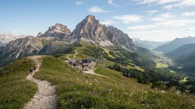
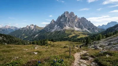
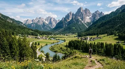
The Puster Valley is a long east-west valley cutting through the Dolomites, running roughly from Lienz in Austria's East Tyrol to Mühlbach near Brixen in South Tyrol. Unlike the sharp, jagged side valleys, this main corridor is broad and gentle, making it more of a base and transit route than a single sight. Travellers come for the open, pastoral scenery, the string of villages along the valley floor, and access to the steeper Dolomite peaks and side valleys branching off it.

Getting there

The valley is reached along its main road and rail line (the Puster Valley Railway connects Lienz, Innichen, Bruneck and on to Brixen). From any village in the valley, getting to the valley floor itself takes no time at all — you're already in it — but reaching specific viewpoints or side trails typically means a short drive or train ride between towns, generally 15–40 minutes depending on the stretch.

Time to allow

Because the valley is long and made up of many separate villages and trailheads rather than one site, plan on this as a multi-day base rather than a single stop. A short drive-through with photo stops can be done in an hour or two; exploring a stretch properly, with walks or village visits, is easily a half or full day.

When to go

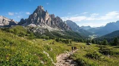
Summer and early autumn are the main hiking seasons, with the valley floor accessible even when higher peaks are snowbound; winter turns the surrounding slopes into ski terrain. Traffic along the valley road can build up on summer weekends and during ski season weekends, so weekday travel is more relaxed.

Combine it with

  • Helm (3.1km) — a nearby peak reachable as a short excursion from the valley floor
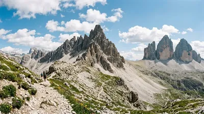
  • Dreischusterspitze (8.5km) — one of the higher summits visible from this part of the valley
  • Drava (9.1km) — the river tracing much of the valley's course
  • Elferkofel (11.6km) — another Dolomite peak worth combining with a base stay here

Sources: open data from Wikipedia and OpenStreetMap · Updated August 5, 2026 · Edited by the World by City editors

Tickets & tours

Admission prices and opening hours change often, so we don't list them here. Check what's on sale and at what price below — booking ahead can cut the queue at some places.

This place may not appear in the results — some sites are free to enter or sell tickets only at the gate.

Stays near Puster Valley

Sorted by distance, walkable ones first. Distances are straight-line.

Map © OpenStreetMap contributors. Lines are straight connections, not actual routes.

Puster Valley Nearby stays

Locations and names come from OpenStreetMap. Check prices and availability on the booking sites.

Good to visit alongside

Helm

Nature

Helm

The Helm is a mountain in the Puster Valley in South Tyrol, Italy.

3.1 km away

Dreischusterspitze

Nature

Dreischusterspitze

The Dreischusterspitze is a mountain of the Dolomites in South Tyrol, Italy. It is the highest peak of the Sexten Dolomites and the most northerly 3,000m peak of the range. From the north it resembles a majestic pyramid, while from the east and west it resembles a jagged ridge. The mountain is located above the village of Sexten. It was first climbed in 1869 by Paul Grohmann, Franz Innerkofler and Peter Salcher.

8.5 km away

Drava

Nature

Drava

The Drava or Drave, historically known as the Dravis or Dravus, is a river in southern Central Europe. With a length of 710km, or 724km, if the length of its Sextner Bach source is added, it is the fifth or sixth longest tributary of the Danube, after the Tisza, Sava, Prut, Mureș and likely Siret. The Drava drains an area of about 40,154 square kilometers. Its mean annual discharge is seasonally 500m³ per second to 670m³ per second. Its source is near the market town of Innichen, in the Puster Valley of South Tyrol, Italy. The river flows eastward through East Tyrol and Carinthia in Austria in...

9.1 km away

Elferkofel

Nature

Elferkofel

The Cima Undici - Elferkofel is a mountain in the Sexten Dolomites in South Tyrol, Italy.

11.6 km away

Paternkofel

Nature

Paternkofel

The Paterno is a mountain in the Dolomites on the border between South Tyrol and the Province of Belluno, Italy.

12.9 km away

Rienz

Nature

Rienz

The Rienz is a river in South Tyrol, Italy. Its source is located at 2,180 m of altitude, in the Dolomites mountains, south of Toblach: near Toblach it enters in the Puster Valley, and, after 90 km (56 mi), it meets the Eisack river in the city of Brixen, at 550 m of altitude.

13.0 km away