自然
セントーサ島
Sentosa
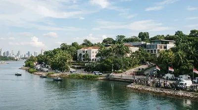
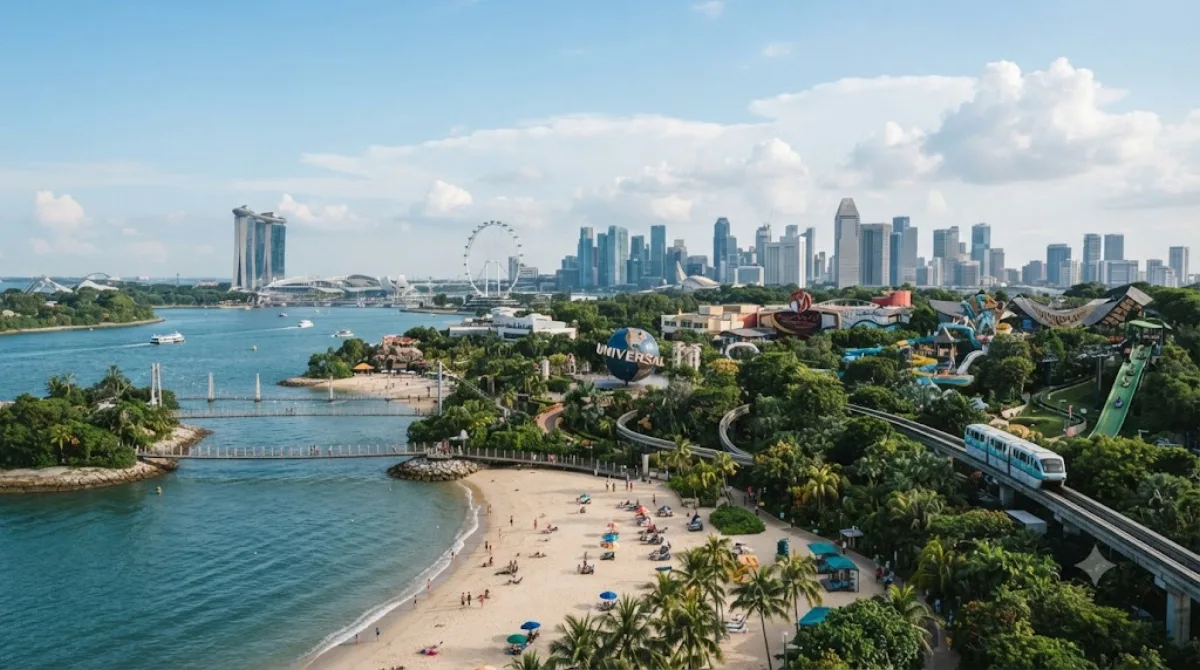
セントーサ島 は、シンガポール島の南にある島。レジャー施設が多数開発されており、シンガポールにおける重要な観光スポットとなっている。島の北側は遊園地や水族館が並び、島の南側はビーチが続いている。
What it is
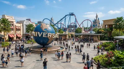
Sentosa is an island just off Singapore's southern coast, connected to the main island by a short causeway. It's Singapore's main resort and leisure island, packing beaches, theme parks, museums, a cable car, and green walking trails into a small area. Travellers go for a mix of manufactured attractions (Universal Studios Singapore, S.E.A. Aquarium) and quieter outdoor spots like Siloso, Palawan, and Tanjong beaches, plus forest trails and lookout points that give a different pace from the city.
Getting there
From central Singapore, the easiest route is the Sentosa Express monorail from VivoCity (linked to HarbourFront MRT station), taking about 5-10 minutes. You can also walk or cycle across the Sentosa Boardwalk from HarbourFront, drive in via Sentosa Gateway, or take a cable car from Mount Faber or HarbourFront. From the city centre, allow 20-30 minutes total including transfers.
How much time to allow
A half-day covers a beach visit or one major attraction. A full day is more realistic if you want to combine a theme park with beach time or a trail walk, since the island is larger than it first appears and getting between zones takes time.
When to go
Weekends and Singapore public holidays draw large crowds, especially at the beaches and Universal Studios. Weekday mornings are noticeably quieter. Like the rest of Singapore, expect heat and humidity through the day and possible afternoon showers, so plan outdoor time earlier if you can.
Combine it with
- Universal Studios Singapore (1.2km) is on the island itself and pairs naturally with a beach visit.
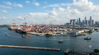
- Brani Island (1.4km), just next door, suits travellers interested in a quieter, less developed stop nearby.
- The 2018 North Korea-United States Singapore Summit site (0.6km) is a point of interest for those tracking the venue's modern history.
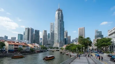
- Capital Tower (3.8km) is a reasonable stop if you're heading back toward the central business district.
出典:ウィキペディア・OpenStreetMap の公開データ · 2026年8月5日 更新 · 編集 World by City 編集部