World by City

자연

Kronplatz

Kronplatz

The Kronplatz is a mountain of the Dolomites in South Tyrol, northern Italy, with a summit elevation of 2,275 metres (7,464 ft) above sea level.

크론플라츠(Kronplatz)

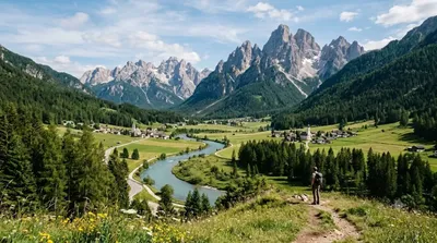
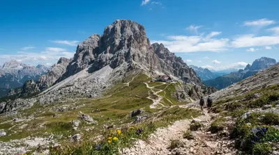
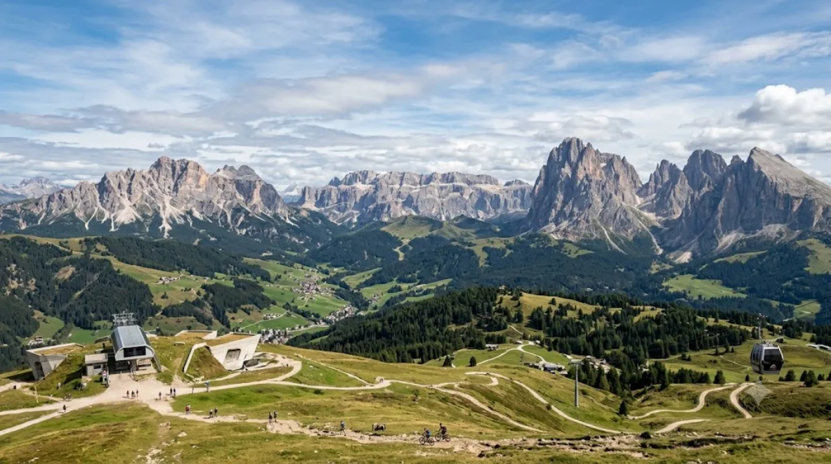
크론플라츠는 이탈리아 북부 남티롤, 돌로미티 지역에 있는 산으로 정상 높이는 해발 2,275m다. 케이블카와 곤돌라로 정상까지 쉽게 오를 수 있어 겨울에는 스키 리조트로, 여름에는 하이킹과 전망 감상을 위해 찾는 곳이다. 정상부에는 메스너 산악박물관(MMM 코르노네스)도 있어 등반 외 볼거리도 있다.

가는 방법

인근 마을(브루니코 등)에서 곤돌라 승강장까지 차로 10~20분 정도 걸리며, 승강장에서 곤돌라를 타고 정상 근처까지 이동한다. 곤돌라 탑승 시간은 구간에 따라 다르지만 대체로 20분 안팎이 소요된다.

머무는 시간

곤돌라 이동 시간을 포함해 정상에서 전망을 즐기고 가볍게 걷는 정도라면 반나절(3~4시간) 정도를 잡으면 된다. 박물관 관람이나 본격적인 하이킹 코스를 걸을 계획이라면 하루 전체를 할애하는 것이 낫다.

언제 가면 좋을까

겨울철은 스키 시즌이라 슬로프와 곤돌라 모두 붐빌 수 있으며, 특히 주말과 휴가철 성수기에는 대기 시간이 길어질 수 있다. 여름 하이킹 시즌에는 이른 오전에 올라가면 정상의 시야가 맑고 사람도 상대적으로 적은 편이다. 날씨가 흐리거나 구름이 낀 날에는 전망을 제대로 보기 어려우니 맑은 날을 골라 방문하는 것이 좋다.

주변 연계 코스

  • 발 바디아(Val Badia): 약 7.6km 거리로, 크론플라츠와 함께 돌로미티 스키·하이킹 권역을 이루는 계곡이다.
  • 프라그저 빌트제(Pragser Wildsee): 약 10.7km 거리로, 호수 경관을 함께 둘러보기 좋다.
  • 호헤 가이슬(Hohe Gaisl): 약 17.6km 거리에 있는 산으로, 등반이나 트레킹 일정에 함께 넣을 수 있다.
  • 알타 바디아(Alta Badia): 약 21.6km 거리로, 다소 이동이 필요하지만 하루 일정을 넉넉히 잡으면 함께 방문할 수 있다.

출처: 위키백과·OpenStreetMap 공개 자료 · 갱신 2026년 8월 5일 · 편집 World by City 편집팀

입장권·투어 예약

입장료와 운영 시간은 자주 바뀌어서 여기 적지 않습니다. 아래에서 지금 판매 중인 티켓과 가격을 확인하세요. 미리 사두면 현장 대기를 줄일 수 있는 곳도 있어요.

검색 결과에 이 장소의 티켓이 없을 수도 있어요. 무료 입장이거나 현장 발권만 하는 곳도 있습니다.

Kronplatz 근처 숙소

걸어서 오갈 수 있는 거리부터 가까운 순으로 정리했어요. 거리는 직선거리 기준입니다.

지도 © OpenStreetMap 기여자. 직선 연결이라 실제 이동 경로와는 다릅니다.

Kronplatz 근처 숙소

숙소 위치·이름은 OpenStreetMap 자료를 기반으로 하며, 가격과 예약 가능 여부는 각 예약 사이트에서 확인해 주세요.

같이 둘러보기 좋은 곳

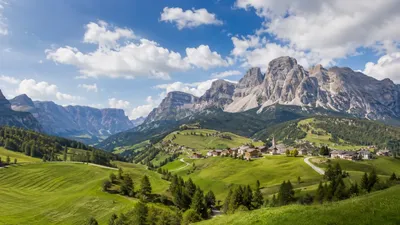
Val Badia

자연

Val Badia

The Val Badia is the valley of the Gran Ega river in South Tyrol, Italy. It stretches from the Sella massif northwards to the Puster Valley. The villages in the Val Badia, whose population are predominantly Ladin-speaking, belong to the following municipalities: Badia, Corvara, La Val, Mareo and San Martin de Tor.

여기서 7.6 km

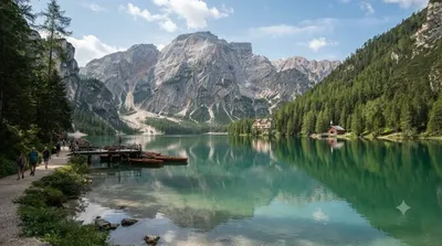
Pragser Wildsee

자연

Pragser Wildsee

The Pragser Wildsee, or Lake Prags, Lake Braies is a natural lake in the Prags Dolomites in South Tyrol, Italy. It belongs to the municipality of Prags which is located in the Prags Valley.

여기서 10.7 km

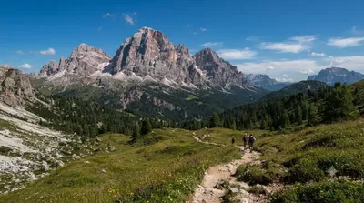
Hohe Gaisl

자연

Hohe Gaisl

Hohe Gaisl, (3,146m) is a mountain in the northern Dolomites, on the border of South Tyrol and Veneto, in northern Italy, located between the Braies Valley and the Val di Landro.

여기서 17.6 km

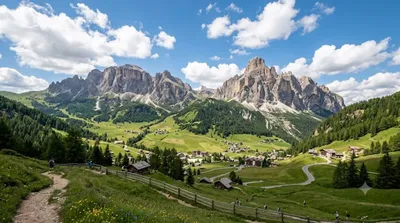
Alta Badia

자연

Alta Badia

Alta Badia is a ski resort in the Dolomites of northern Italy, in the upper part of the Val Badia in South Tyrol. It is part of the Dolomiti Superski ski area. It is included in the territories of the municipalities of Corvara, Badia, and La Val. Centered on Corvara, the extended area's lift-served summit elevation is 2,550 m (8,366 ft) on the Sella group, with an overall vertical drop of 1,226 m (4,022 ft) to Pedraces. The native language of the majority of the locals is Ladin.

여기서 21.6 km

드라바강

자연

드라바강

드라바강(크로아티아어: Drava, 슬로베니아어: Drava, 이탈리아어: Drava, 독일어: Drau 드라우[*], 헝가리어: Dráva 드라버[*])은 유럽 중남부를 흐르는 다뉴브강의 지류이다. 길이 749 km, 유역면적 11,828 km2이다.

여기서 22.4 km

Lagazuoi Piccolo

자연

Lagazuoi Piccolo

Lagazuoi is a mountain in the Dolomites of northern Italy, lying at an elevation of 2,835 metres (9,301 ft), about 18 kilometres (11 mi) southwest by road from Cortina d'Ampezzo in the Veneto Region. The mountain is part of the Ampezzo Dolomites Natural Park.

여기서 23.4 km