World by City

Nature

Kronplatz

Kronplatz

The Kronplatz is a mountain of the Dolomites in South Tyrol, northern Italy, with a summit elevation of 2,275 metres (7,464 ft) above sea level.

What it is

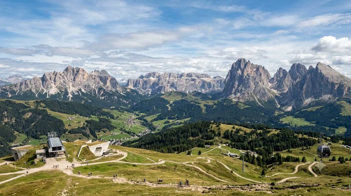
Kronplatz (Plan de Corones) is a broad, rounded mountain in South Tyrol reaching 2,275 metres, notable for its flat, plateau-like summit rather than a jagged peak. That shape makes it one of the more accessible high points in the Dolomites, with wide views over the surrounding valleys and, on clear days, distant ranges. In winter it's a large ski area; in summer it draws hikers and mountain bikers for the panorama and the network of trails and huts across the summit plateau.

Getting there

Access is by cable car from one of the base stations in the valley towns around the mountain (Brunico/Bruneck, San Vigilio di Marebbe, or Reischach, depending on where you're staying). The ride up takes roughly 15-20 minutes including any connections. There's no direct link from a single "city centre," since Kronplatz sits between several villages, so check which base station is closest to your accommodation.

Time to allow

Allow at least half a day: an hour or two to enjoy the summit views and short walks, more if you plan a longer hike, a full ski day, or a stop at the summit museum. A full day is reasonable if combining lifts with a walk down or a meal at one of the mountain restaurants.

When to go

Winter (roughly December to March) is the ski season and the busiest period, especially weekends and holiday weeks. Summer months bring hikers and bikers, with mornings generally quieter and clearer than afternoons, when cloud can build over the peaks. Visibility for the panorama is weather-dependent, so a clear-sky forecast matters more than the exact season.

Combine it with

  • Val Badia (7.6km) – a nearby valley worth pairing with a Kronplatz visit on the same trip.
  • Pragser Wildsee (10.7km) – a short drive away, often combined as a two-stop day.
  • Hohe Gaisl (17.6km) and Alta Badia (21.6km) – both feasible as a longer day trip if you have a car.

Sources: open data from Wikipedia and OpenStreetMap · Updated August 5, 2026 · Edited by the World by City editors

Tickets & tours

Admission prices and opening hours change often, so we don't list them here. Check what's on sale and at what price below — booking ahead can cut the queue at some places.

This place may not appear in the results — some sites are free to enter or sell tickets only at the gate.

Stays near Kronplatz

Sorted by distance, walkable ones first. Distances are straight-line.

Map © OpenStreetMap contributors. Lines are straight connections, not actual routes.

Kronplatz Nearby stays

Locations and names come from OpenStreetMap. Check prices and availability on the booking sites.

Good to visit alongside

Val Badia

Nature

Val Badia

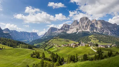
The Val Badia is the valley of the Gran Ega river in South Tyrol, Italy. It stretches from the Sella massif northwards to the Puster Valley. The villages in the Val Badia, whose population are predominantly Ladin-speaking, belong to the following municipalities: Badia, Corvara, La Val, Mareo and San Martin de Tor.

7.6 km away

Pragser Wildsee

Nature

Pragser Wildsee

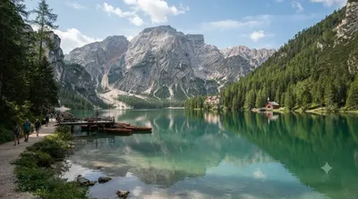
The Pragser Wildsee, or Lake Prags, Lake Braies is a natural lake in the Prags Dolomites in South Tyrol, Italy. It belongs to the municipality of Prags which is located in the Prags Valley.

10.7 km away

Hohe Gaisl

Nature

Hohe Gaisl

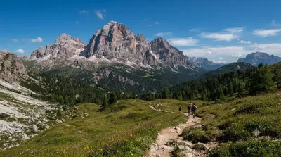
Hohe Gaisl, (3,146m) is a mountain in the northern Dolomites, on the border of South Tyrol and Veneto, in northern Italy, located between the Braies Valley and the Val di Landro.

17.6 km away

Alta Badia

Nature

Alta Badia

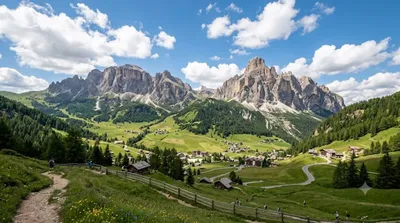
Alta Badia is a ski resort in the Dolomites of northern Italy, in the upper part of the Val Badia in South Tyrol. It is part of the Dolomiti Superski ski area. It is included in the territories of the municipalities of Corvara, Badia, and La Val. Centered on Corvara, the extended area's lift-served summit elevation is 2,550 m (8,366 ft) on the Sella group, with an overall vertical drop of 1,226 m (4,022 ft) to Pedraces. The native language of the majority of the locals is Ladin.

21.6 km away

Drava

Nature

Drava

The Drava or Drave, historically known as the Dravis or Dravus, is a river in southern Central Europe. With a length of 710km, or 724km, if the length of its Sextner Bach source is added, it is the fifth or sixth longest tributary of the Danube, after the Tisza, Sava, Prut, Mureș and likely Siret. The Drava drains an area of about 40,154 square kilometers. Its mean annual discharge is seasonally 500m³ per second to 670m³ per second. Its source is near the market town of Innichen, in the Puster Valley of South Tyrol, Italy. The river flows eastward through East Tyrol and Carinthia in Austria in...

22.4 km away

Lagazuoi Piccolo

Nature

Lagazuoi Piccolo

Lagazuoi is a mountain in the Dolomites of northern Italy, lying at an elevation of 2,835 metres (9,301 ft), about 18 kilometres (11 mi) southwest by road from Cortina d'Ampezzo in the Veneto Region. The mountain is part of the Ampezzo Dolomites Natural Park.

23.4 km away