World by City

自然

Kronplatz

Kronplatz

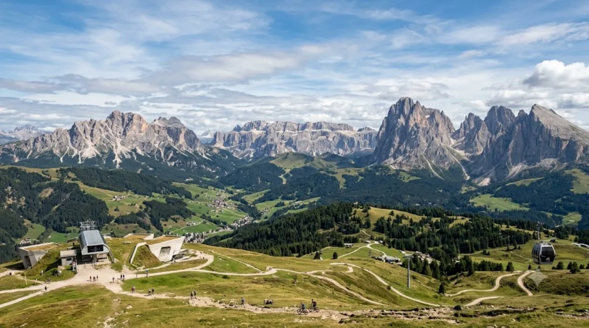
The Kronplatz is a mountain of the Dolomites in South Tyrol, northern Italy, with a summit elevation of 2,275 metres (7,464 ft) above sea level.

What it is

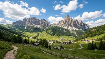
Kronplatz (Plan de Corones) is a broad, rounded mountain in South Tyrol reaching 2,275 metres, notable for its flat, plateau-like summit rather than a jagged peak. That shape makes it one of the more accessible high points in the Dolomites, with wide views over the surrounding valleys and, on clear days, distant ranges. In winter it's a large ski area; in summer it draws hikers and mountain bikers for the panorama and the network of trails and huts across the summit plateau.

Getting there

Access is by cable car from one of the base stations in the valley towns around the mountain (Brunico/Bruneck, San Vigilio di Marebbe, or Reischach, depending on where you're staying). The ride up takes roughly 15-20 minutes including any connections. There's no direct link from a single "city centre," since Kronplatz sits between several villages, so check which base station is closest to your accommodation.

Time to allow

Allow at least half a day: an hour or two to enjoy the summit views and short walks, more if you plan a longer hike, a full ski day, or a stop at the summit museum. A full day is reasonable if combining lifts with a walk down or a meal at one of the mountain restaurants.

When to go

Winter (roughly December to March) is the ski season and the busiest period, especially weekends and holiday weeks. Summer months bring hikers and bikers, with mornings generally quieter and clearer than afternoons, when cloud can build over the peaks. Visibility for the panorama is weather-dependent, so a clear-sky forecast matters more than the exact season.

Combine it with

  • Val Badia (7.6km) – a nearby valley worth pairing with a Kronplatz visit on the same trip.
  • Pragser Wildsee (10.7km) – a short drive away, often combined as a two-stop day.
  • Hohe Gaisl (17.6km) and Alta Badia (21.6km) – both feasible as a longer day trip if you have a car.

出典:ウィキペディア・OpenStreetMap の公開データ · 2026年8月5日 更新 · 編集 World by City 編集部

チケット・ツアー予約

入場料や営業時間は変わりやすいためここには載せていません。下で現在販売中のチケットと価格をご確認ください。事前購入で待ち時間を減らせる場所もあります。

検索結果にこの場所のチケットがない場合もあります。入場無料、または現地販売のみの施設もあります。

Kronplatz 周辺の宿

歩いて行ける距離から近い順に並べています。距離は直線距離です。

地図 © OpenStreetMap 寄稿者。直線でつないでいるため実際の経路とは異なります。

Kronplatz 周辺の宿

宿の位置と名称は OpenStreetMap のデータに基づきます。価格と空室は各予約サイトでご確認ください。

あわせて訪れたい場所

ヴァル・バディア

自然

ヴァル・バディア

The Val Badia is the valley of the Gran Ega river in South Tyrol, Italy. It stretches from the Sella massif northwards to the Puster Valley. The villages in the Val Badia, whose population are predominantly Ladin-speaking, belong to the following municipalities: Badia, Corvara, La Val, Mareo and San Martin de Tor.

ここから 7.6 km

Pragser Wildsee

自然

Pragser Wildsee

The Pragser Wildsee, or Lake Prags, Lake Braies is a natural lake in the Prags Dolomites in South Tyrol, Italy. It belongs to the municipality of Prags which is located in the Prags Valley.

ここから 10.7 km

Hohe Gaisl

自然

Hohe Gaisl

Hohe Gaisl, (3,146m) is a mountain in the northern Dolomites, on the border of South Tyrol and Veneto, in northern Italy, located between the Braies Valley and the Val di Landro.

ここから 17.6 km

アルタ・バディア

自然

アルタ・バディア

Alta Badia is a ski resort in the Dolomites of northern Italy, in the upper part of the Val Badia in South Tyrol. It is part of the Dolomiti Superski ski area. It is included in the territories of the municipalities of Corvara, Badia, and La Val. Centered on Corvara, the extended area's lift-served summit elevation is 2,550 m (8,366 ft) on the Sella group, with an overall vertical drop of 1,226 m (4,022 ft) to Pedraces. The native language of the majority of the locals is Ladin.

ここから 21.6 km

ドラーヴァ川

自然

ドラーヴァ川

ドラーヴァ川、ドラーバ川 またはドラウ川 は、ヨーロッパ南部を流れる川である。古称はドラブス川(Dravus)。カルニッシュ・アルプス山脈に属するイタリアの南チロル地方のドッビアーコ付近に源泉を発し、東側の東チロルからオーストリアのケルンテン州を通ってスロヴェニアに至る。南東部ではクロアチアを抜けてクロアチアとハンガリーの国境沿いを流れた後オシエクでドナウ川に注ぐ。全長は719km。

ここから 22.4 km

ラガツォイ

自然

ラガツォイ

ラガツォイ (Lagazuoi) は、イタリア共和国ヴェネト州ベッルーノ県にあるファネス山塊 の山である。コルティーナ・ダンペッツォ の西約10 kmに位置する。標高28,357 m。

ここから 23.4 km