World by City

自然

ヴァル・バディア

Val Badia
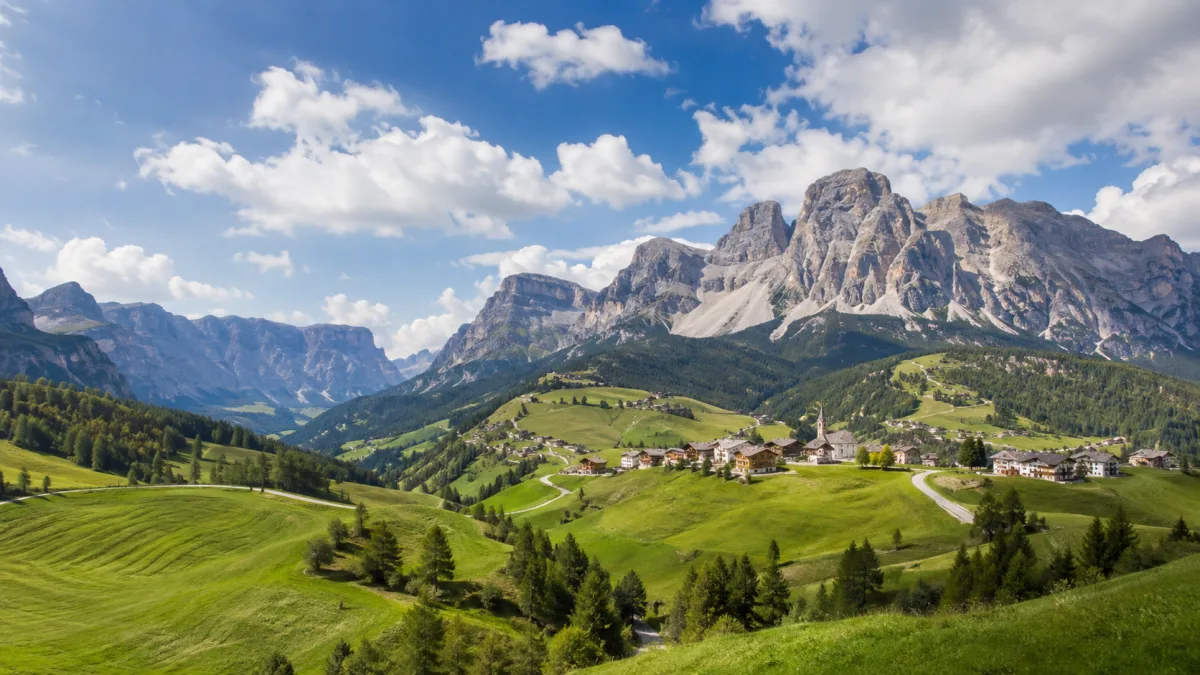
ヴァル・バディア

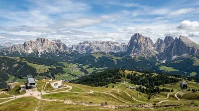
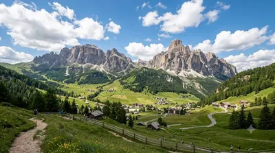
The Val Badia is the valley of the Gran Ega river in South Tyrol, Italy. It stretches from the Sella massif northwards to the Puster Valley. The villages in the Val Badia, whose population are predominantly Ladin-speaking, belong to the following municipalities: Badia, Corvara, La Val, Mareo and San Martin de Tor.

A Ladin-speaking valley in the Dolomites

Val Badia follows the Gran Ega river from the Sella massif down to the Puster Valley in South Tyrol. It isn't a single sight but a string of villages — Badia, Corvara, La Val, Mareo and San Martin de Tor — where Ladin is still widely spoken alongside German and Italian. People come for hiking and skiing access to the surrounding Dolomites and for the valley's distinct Ladin culture, rather than for one landmark.

Getting there

By car, the valley is reached from the Val Pusteria/Puster Valley, turning south around Perca/Percha toward Badia and Corvara. From Bolzano the drive is roughly an hour; from Bressanone/Brixen it's closer to 45 minutes. Regional buses also run from Brunico/Bruneck, which sits on the Franzensfeste–Innichen rail line, into the valley villages. The nearest airports, Venice Marco Polo and Innsbruck, both require a further two- to three-hour transfer.

How much time to allow

Because the valley works as a base for hikes, cable cars and mountain passes rather than a single stop, most travellers stay at least a day or two. Driving through the villages and valley floor alone takes an hour or two; reaching the surrounding peaks or rifugi takes a half day or more.

When to go

The valley is busiest during the winter ski season and again in July and August, when roads and car parks near lifts and passes can fill up. Late spring and early autumn are quieter, though some higher lifts and trails may run limited schedules outside peak season.

Combining with nearby sights

  • Kronplatz (7.6km) — ski and hiking mountain at the valley's northern end.
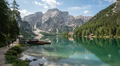
  • Pragser Wildsee (14.2km) — lake in a neighbouring side valley.
  • Alta Badia (14.6km) — ski and hiking area covering the upper valley.
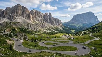
  • Gardena Pass (16.4km) — mountain pass toward Val Gardena at the valley's southern end.

出典:ウィキペディア・OpenStreetMap の公開データ · 2026年8月5日 更新 · 編集 World by City 編集部

チケット・ツアー予約

入場料や営業時間は変わりやすいためここには載せていません。下で現在販売中のチケットと価格をご確認ください。事前購入で待ち時間を減らせる場所もあります。

検索結果にこの場所のチケットがない場合もあります。入場無料、または現地販売のみの施設もあります。

ヴァル・バディア 周辺の宿

歩いて行ける距離から近い順に並べています。距離は直線距離です。

地図 © OpenStreetMap 寄稿者。直線でつないでいるため実際の経路とは異なります。

ヴァル・バディア 周辺の宿

宿の位置と名称は OpenStreetMap のデータに基づきます。価格と空室は各予約サイトでご確認ください。

あわせて訪れたい場所