Natur
Gadertal
Val Badia
Val Badia
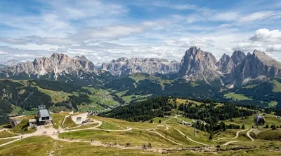
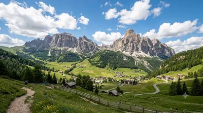
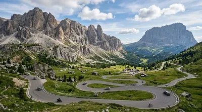
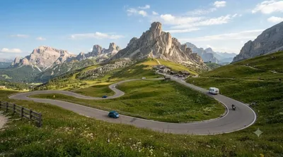
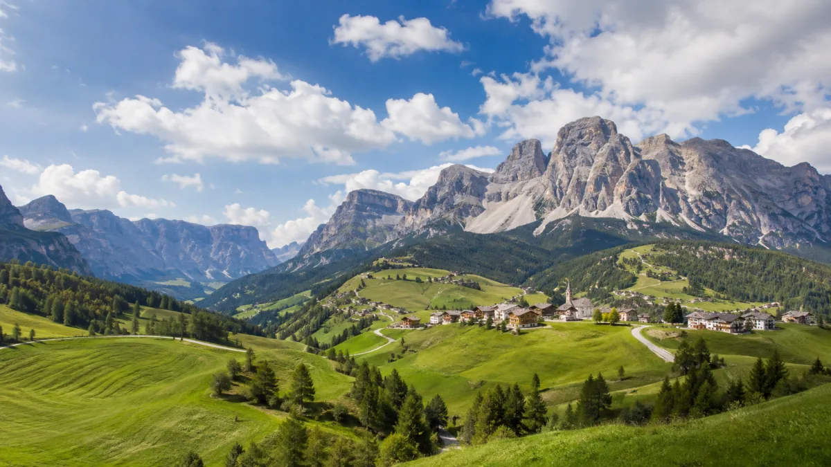
Das Val Badia ist ein Tal in den Südtiroler Dolomiten in Italien, das sich entlang des Flusses Gran Ega von der Sella-Gruppe bis zum Pustertal erstreckt. Reisende besuchen die Region primär für Outdoor-Aktivitäten in der Natur sowie zur Erkundung der ladinischsprachigen Kultur in den Dörfern Badia, Corvara, La Val, Marebbe und San Martino in Badia.
Anreise und Dauer
Die Erreichbarkeit erfolgt am besten über die Flughäfen Venedig Marco Polo (VCE) oder Innsbruck (INN). Da das Tal eine ländliche Region ist, ist ein Mietwagen für die Anreise aus den umliegenden Städten notwendig. Die Fahrtzeit variiert je nach Startpunkt, wobei die Anfahrt von den größeren Zentren der Provinz Südtirol meist einige Stunden in Anspruch nimmt.
Für einen ersten Überblick über die Landschaft und die Dörfer sollten mindestens zwei bis drei Tage eingeplant werden. Wer Wanderungen in den umliegenden Bergen unternimmt, benötigt mehr Zeit.
Beste Reisezeit
Die Region ist saisonal gegliedert: Die Wintermonate eignen sich für den Wintersport, während die Sommermonate für Wanderungen genutzt werden. In der Hauptsaison, insbesondere im Juli, August und während der Winterferien, ist in den touristischen Zentren mit einem hohen Besucheraufkommen zu rechnen.
Kombinationsmöglichkeiten
In der näheren Umgebung befinden sich weitere Ziele, die mit dem Val Badia kombiniert werden können:
- Kronplatz: 7,6 km
- Pragser Wildsee: 14,2 km
- Alta Badia: 14,6 km
- Gardena Pass: 16,4 km
Aktualisiert 20. September 2026 · Redaktion die World by City-Redaktion
 GetYourGuide
 Klook
Klook
 Tiqets
 KKday
KKday
 WeGoTrip
 Booking.com
 Hotels.com