
3 nights, 4 days
Bridgetown 4-Day Itinerary (3 Nights)
A 4-day route through Bridgetown grouped by daily travel distance for optimal sightseeing.
Distances are straight-line, so actual transit times will differ. Feel free to reorder the stops. · Updated August 15, 2026
The whole route at a glance
Map and place data © OpenStreetMap contributors Lines are straight connections, not actual routes.
DAY 1
Around Barbados · Nature·Heritage & monuments
Directions in Google Maps-
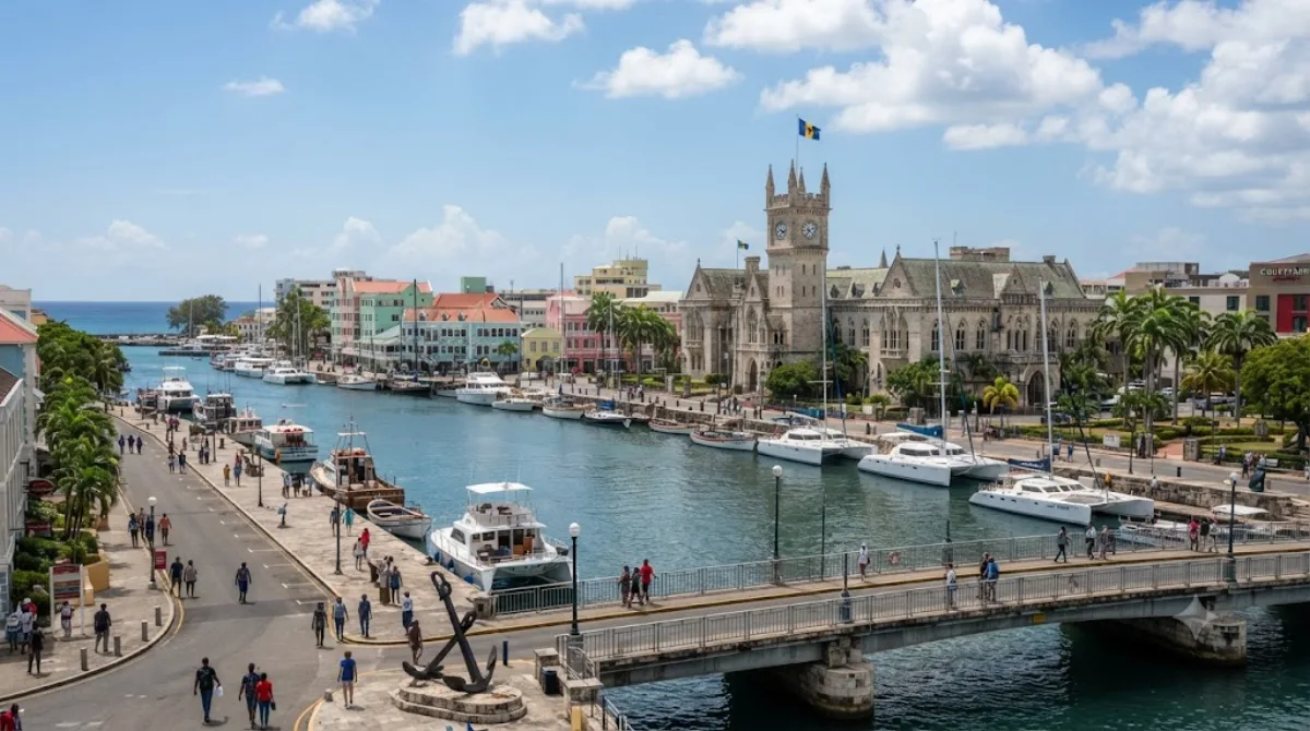
MorningBarbados
Nature
Barbados is an island nation in the Caribbean located in the Atlantic Ocean. It is part of the Lesser Antilles of the West Indies and is the southern and easternmost island of the Caribbean region. It lies on the boundary of the South American and Caribbean plates. Its capital and largest city is Bridgetown.
-
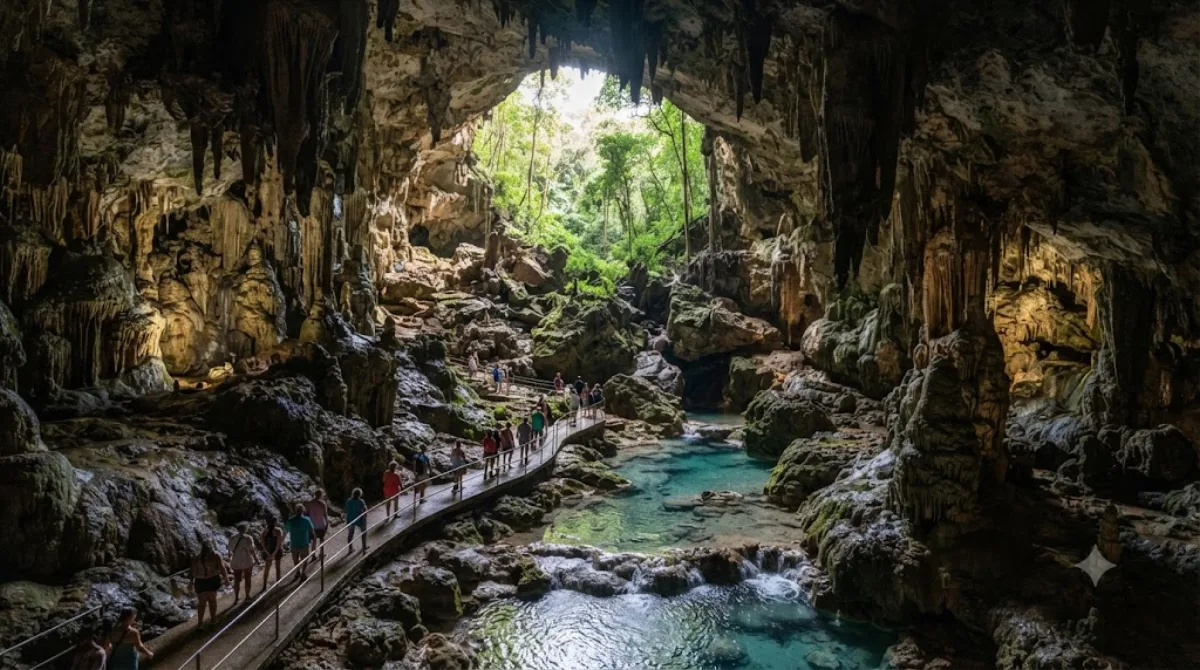
After lunchHarrison's Cave
Nature · 2.9 km from the previous stop
This limestone cave in Barbados was first recorded in 1795. Visitors can explore the underground world comfortably aboard a tram.
-
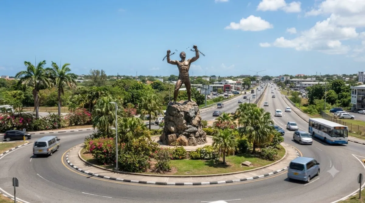
AfternoonBussa Emancipation Statue
Heritage & monuments · 8.9 km from the previous stop
A statue commemorating the emancipation of slaves, standing at the center of a roundabout east of Bridgetown, depicting a figure breaking his chains. It's better known by its nickname, taken from Bussa, who led the 1816 uprising.
-
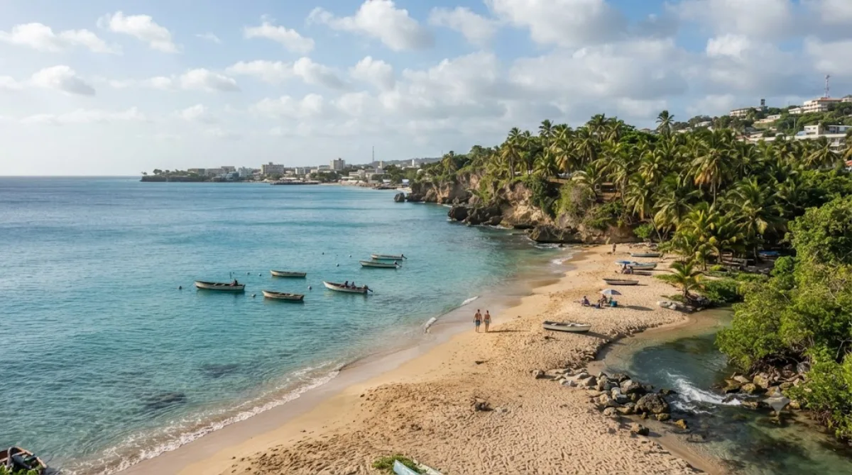
EveningFreshwater Bay, Barbados
Nature · 5.1 km from the previous stop
A beach in southwestern Barbados, located between Paynes Bay and Carlisle Bay. Its name comes from the freshwater that flows into the sea here.
DAY 2
Around Roman Catholic Diocese of Bridgetown · Temples & religious sites·Views & landmarks
Directions in Google Maps-
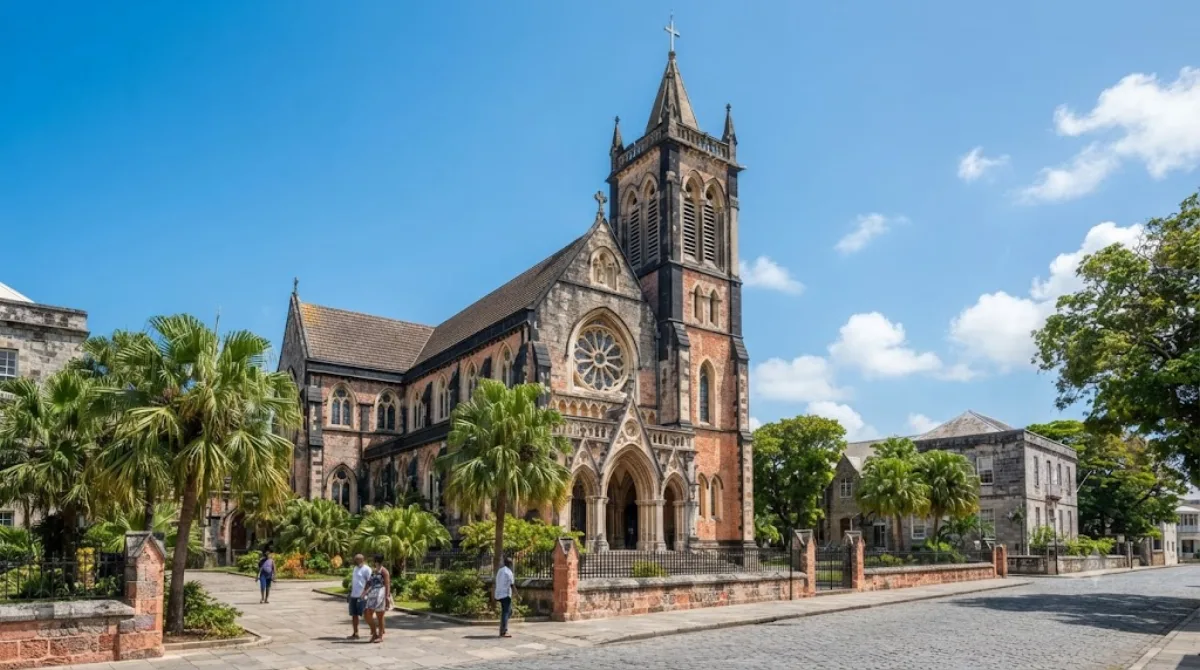
MorningRoman Catholic Diocese of Bridgetown
Temples & religious sites
A Catholic diocese based in Bridgetown, Barbados, with jurisdiction over the whole island. It is a suffragan of the Archdiocese of Port of Spain and belongs to the Antilles Episcopal Conference.
-
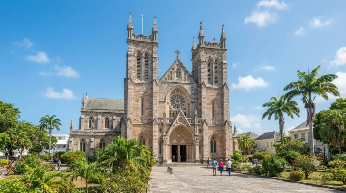
After lunchSt. Patrick's Cathedral, Bridgetown
Temples & religious sites · 0 km from the previous stop
This is the cathedral of the Roman Catholic Diocese of Bridgetown. One of only two cathedrals in Barbados, it's worth visiting alongside the Anglican cathedral.
-
AfternoonChamberlain Bridge
Views & landmarks · 0.7 km from the previous stop
This bridge spans the Careenage waterway in Bridgetown; built in 1872, it was rebuilt as a modern lifting bridge in 2005-2006. It's a great spot to stroll across and take in the harbor views.

-
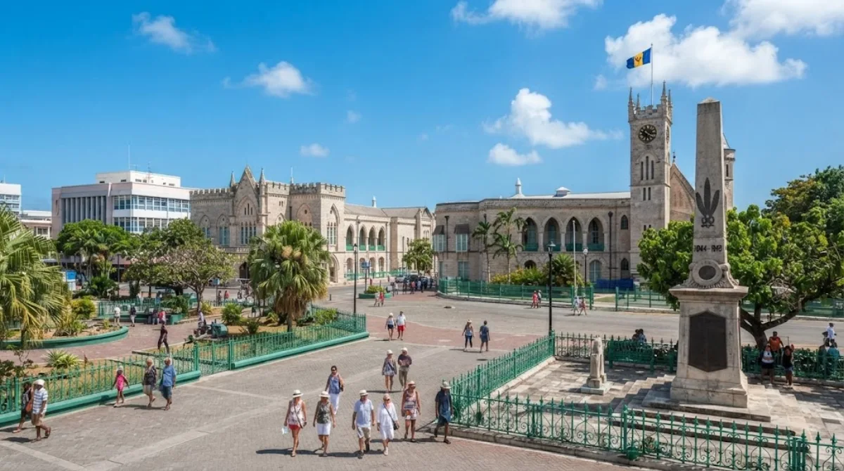
EveningNational Heroes Square
Parks & gardens · 0 km from the previous stop
A square in downtown Bridgetown, on the north bank of the Careenage. Being right in the city center, it's an easy stop for a quick rest while out for a walk.
DAY 3
Around Jama Mosque · Temples & religious sites·Nature
Directions in Google Maps-
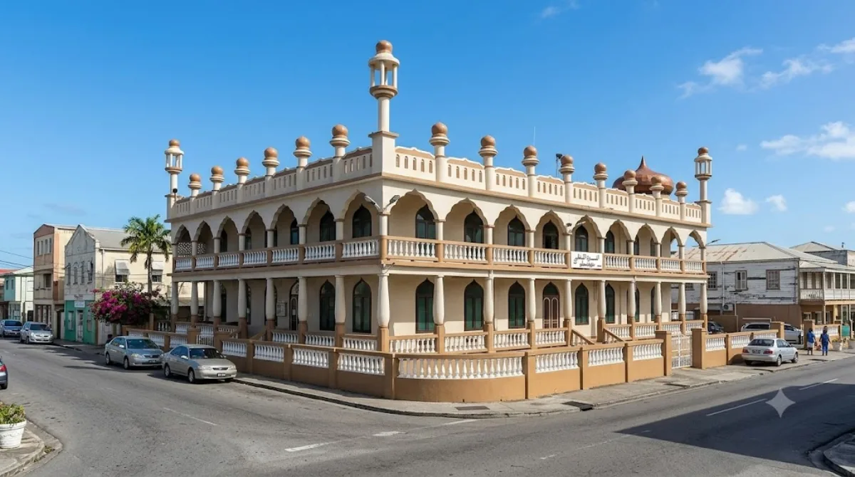
MorningJama Mosque
Temples & religious sites
A mosque located in downtown Bridgetown. It's a nice stop during a city walk to admire its exotic architecture.
-
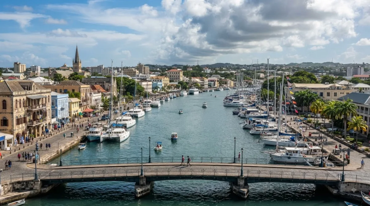
After lunchConstitution River
Nature · 1.1 km from the previous stop
A waterway that runs through downtown Bridgetown and flows into Carlisle Bay, also serving as a cozy marina for small yachts and boats. Its quiet waterside scenery in the middle of the city is a real charm.
-
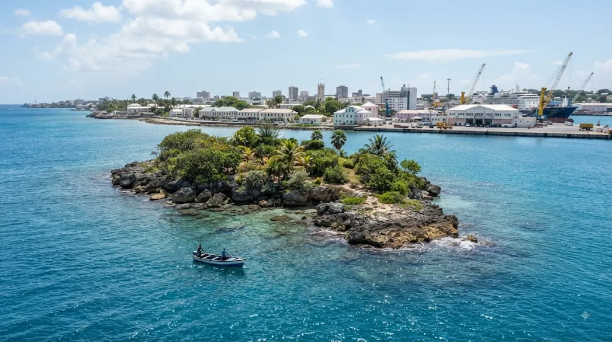
AfternoonPelican Island, Bridgetown
Nature · 2.1 km from the previous stop
A small uninhabited island that once lay off the western coast of Bridgetown. It has since disappeared, but is known to have once formed part of the local coastline.
-
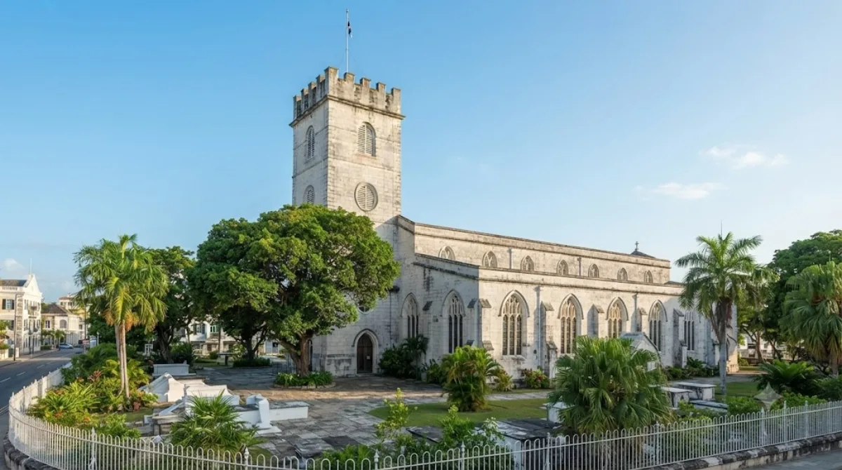
EveningCathedral Church of Saint Michael and All Angels, Barbados
Temples & religious sites · 2.3 km from the previous stop
This Anglican church stands near National Heroes Square in downtown Bridgetown. As the tallest Anglican church in Barbados, it's a peaceful place to explore.
DAY 4
Around South Point Lighthouse · Views & landmarks·Nature
Directions in Google Maps-
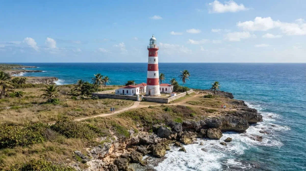
MorningSouth Point Lighthouse
Views & landmarks
This white lighthouse stands at the southernmost tip of Barbados and rises about 27 meters. It's a relaxing spot to take in sweeping ocean views.
-
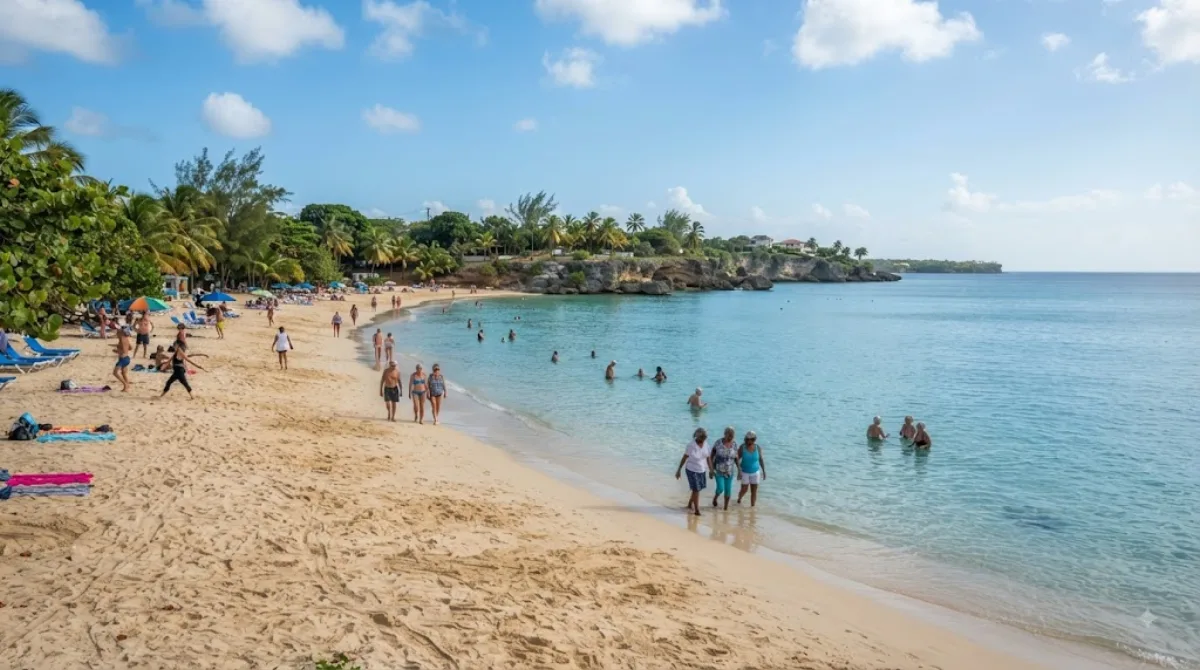
After lunchMiami Beach, Barbados
Nature · 1.8 km from the previous stop
A white-sand beach on Barbados's south coast, near Oistins. With calm waters and beautiful sunsets, it's loved by locals and visitors alike, and also a great spot for bodysurfing.
-
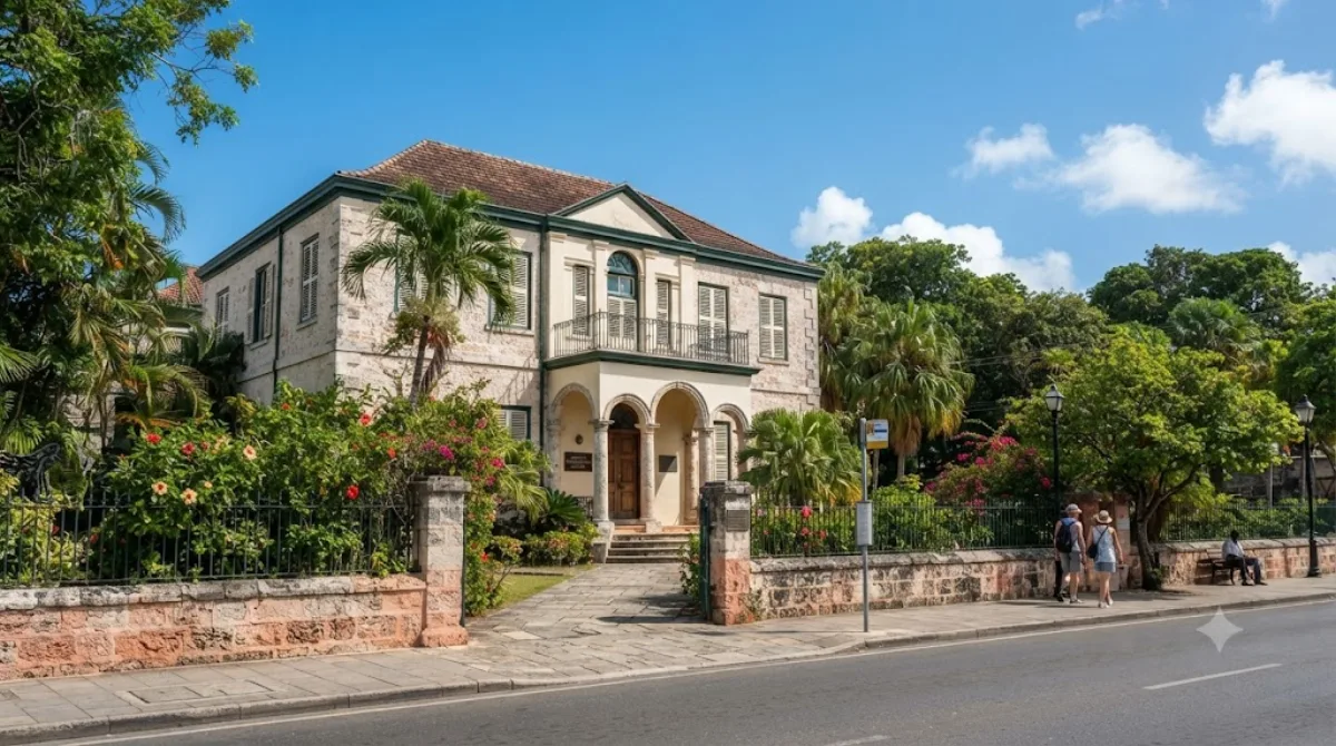
AfternoonBarbados Museum & Historical Society
Museums & galleries · 7.2 km from the previous stop
A museum housed in a former military prison building at St. Ann's Garrison in Bridgetown, opened in 1933. Old maps, paintings, and other artifacts offer a look into Barbados's history and natural world.
-
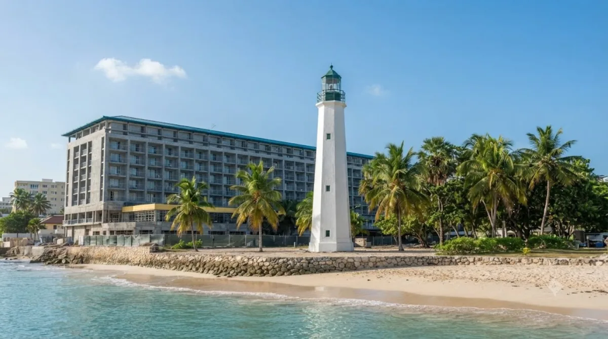
EveningNeedham's Point Lighthouse
Views & landmarks · 1 km from the previous stop
A lighthouse on Barbados' southwest coast, a pleasant stop for sea views while exploring Bridgetown.
Where to stay for this itinerary
Around Barbados, the anchor of day one. Staying here keeps your first day's travel shortest.
-
The Palm Resort
9.0 km · Sunset Crest
-
Sandly Lane Beach Resort
9.0 km · Holetown
-
Tropical Escape Hotel
9.1 km · Paynes Bay
-
Coral Cove
9.1 km · Paynes Bay
-
St. James
9.1 km · Paynes Bay
-
Treasure Beach
9.2 km · Paynes Bay
 Booking.com
 Hotels.com
Check prices and availability on the booking sites.
More stays in Bridgetown →Check flights to Bridgetown first
Pick a departure airport and date to jump straight to results for Grantley Adams International Airport (BGI).
Check fares and seat availability on the flight search site.
Tours & tickets for this itinerary
Popular sights often sell out on the day. Once your plan is set, secure tickets and tours in advance.
 GetYourGuide
 Klook
Klook
 Tiqets
 KKday
KKday
 WeGoTrip