Nature
Rapanui Rock
Rapanui Rock
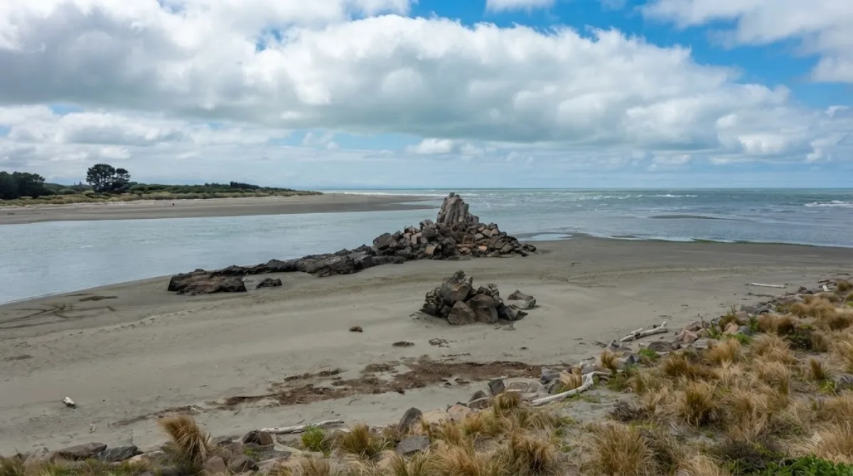
Rapanui Rock is a geological formation located at the mouth of the Avon-Heathcote Estuary in Christchurch. Historically, it served as a navigational landmark for boats and travelers traveling toward Sumner. Following the 2011 earthquake, the rock's physical shape changed significantly, but the remaining traces are still visible from the adjacent road.
Getting There
The site is located southeast of the Christchurch city centre. Travelers can reach the area by car or local transport, typically taking about 15 to 20 minutes depending on traffic conditions.
Visit Duration
Because the rock is viewed primarily from the roadside and the surrounding estuary area, a short stop of 20 to 30 minutes is generally sufficient to observe the formation and the landscape.
When to Visit
The site is accessible year-round. Visiting during daylight hours is necessary for visibility of the rock and the estuary. There are no specific peak crowds associated with this landmark, as it is a roadside point of interest rather than a gated attraction.
Nearby Points of Interest
This location can be combined with other nearby nature and heritage sites:
- Moncks Cave: 0.9km
- Heathcote River / Ōpāwaho: 3.4km
- Tauhinukorokio / Mount Pleasant: 3.4km
- Ferrymead Regional Park: 3.6km
Updated September 8, 2026 · Edited by the World by City editors
 GetYourGuide
 Klook
Klook
 Tiqets
 KKday
KKday
 WeGoTrip
 Booking.com
 Hotels.com