Nature
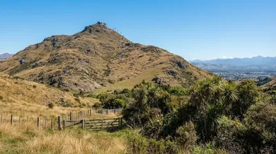
Tauhinukorokio / Mount Pleasant
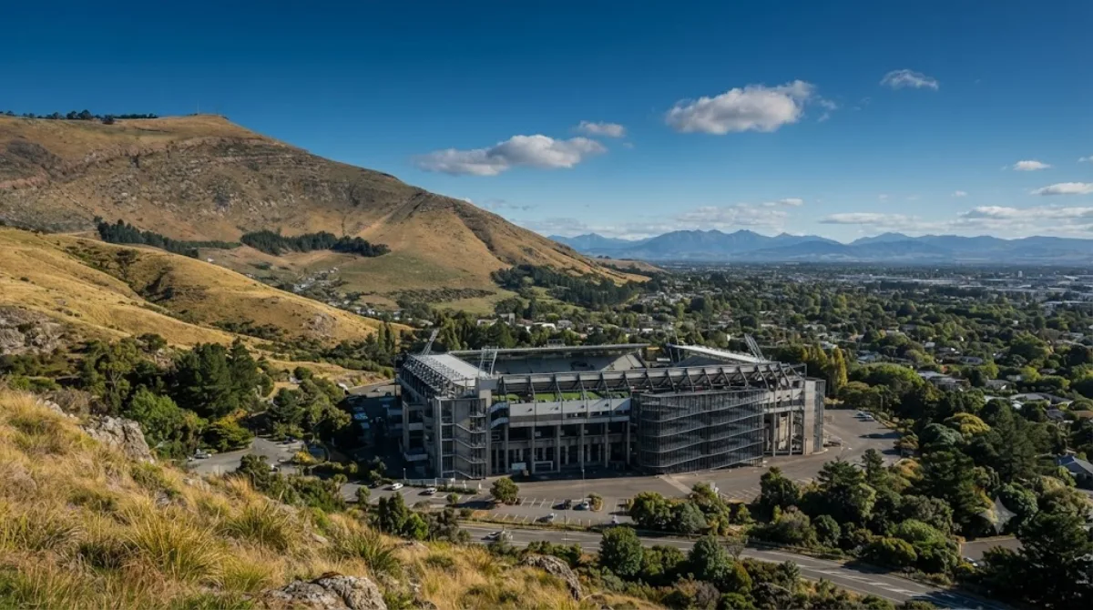
Tauhinukorokio / Mount Pleasant
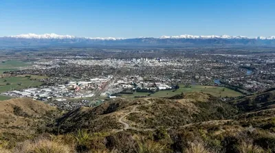
Located in the Port Hills east of Christchurch, this is the highest peak in the area. Visitors go here for the panoramic views over Lyttelton Harbour and the surrounding landscape. The site is also noted for its history as a location of Māori archaeological remains.
Getting There
The peak is accessible by car from the Christchurch city centre. The drive typically takes about 20 to 30 minutes, depending on traffic and the specific trailhead used.
Time Requirement
Allow between 2 and 4 hours for a visit. This provides enough time to hike up to the summit, observe the views, and return to the vehicle.
When to Visit
The site is accessible year-round, though conditions on the trails can vary with the seasons. Visiting during the morning or late afternoon provides different lighting for the harbour views. It does not typically experience extreme crowding, though it is more popular on weekends.
Nearby Attractions
Because of its location in the Port Hills, this site can be combined with other nearby points of interest:
- Mount Cavendish: 0.9km
- Ferrymead Regional Park: 2.9km
- Moncks Cave: 2.9km
- Port Hills: 3km
Updated September 13, 2026 · Edited by the World by City editors
 GetYourGuide
 Klook
Klook
 Tiqets
 KKday
KKday
 WeGoTrip
 Booking.com
 Hotels.com